
235
documented records
≈ 240–350
approx. capacity (graves)
6,720 m²
cemetery area
Nov 5, 2026
last modified
About this cemetery
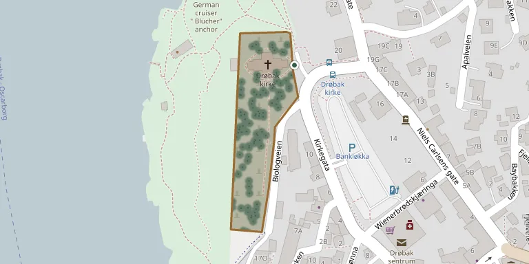
Drøbak cemetery lies on both sides of Drøbak church, to the north and south, with most of it on the south side along Biologveien. It was extended 50 metres to the south in 1923. The church, called Vår Frelsers kirke, was consecrated on 29 October 1776.
Cemetery location
GPS coordinates: 59.665245° N, 10.627518° E Directions in Google Maps (opens in a new tab)
Memorials
Showing the first 50 of 235, A–Z by surname. Search all records
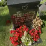 Målfrid Aamodt 1944 – 2015
- Øivind Aamodt 1934 – 2014
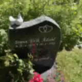 Svenn Ådahl 1956 – 2022
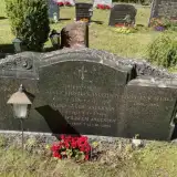 Adolf Andersen 1878 – 1947
- Haldis Andersen 1878 – 1947
- Johan Andersen 1908 – 1961
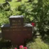 Karen Anker Holst 1889 – 1968
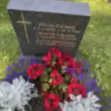 Sylvia Bareksten 1927 – 2019
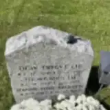 Hanne Brenden 1963 – 2019
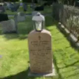 Hanna Christiansen 1852 – 1913
- Johan Christiansen 1846 – 1926
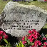 Gerd Evensen 1938 – 1993
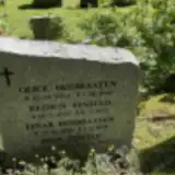 Finn Finstad 1929 – 2003
- Reidun Finstad 1931 – 1973
 Ester Fossheim 1922 – 2017
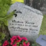 Øistein Furru 1919 – 1989
- Aud Fuzzu 1927 – 2015
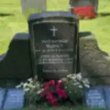 Karl Grinrød 1903 – 1994
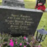 Birger Hæsken 1918 – 2001
- Inger Hæsken 1926 – 1952
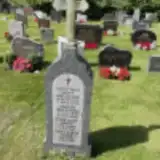 Astri Hagen 1934 – 2019
- Finn Hagen 1932 – 2010
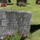 Harald Hansen 1889 – 1924
- Karl Hansen 1916 – 1982
- Tora Hansen 1915 – 1995
- Finn Henriksen 1928 – 2005
- Einar Høibraaten 1896 – 1979
- Olice Høibraaten 1894 – 1966
- Helge Holst 1888 – 1970
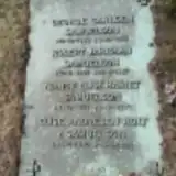 Elise Holt 1870 – 1954
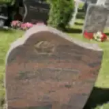 Hanna Honstad 1905 – 1998
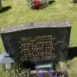 Anne Huse 1919 – 1990
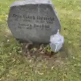 Otto Ibenfeldt 1925 – 2005
- Solveig Ibenfeldt 1931 – 2017
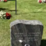 Åse Iversen 1922 – 2007
- Bjarne Iversen 1897 – 1970
- Hilda Iversen 1902 – 1966
- Sverre Iversen 1916 – 1984
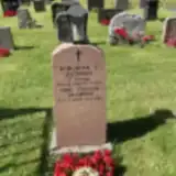 Borghild Jacobsen 1908 – 1996
- Gerd Jacobsen 1914 – 2001
- Hulda Jacobsen 1877 – 1960
- Odd Jacobsen 1908 – 2003
- Reidar Jacobsen 1903 – 1973
- Rich. Jacobsen 1873 – 1968
- Erna Johansen 1929 – 2004
- Henrik Johansen 1885 – 1947
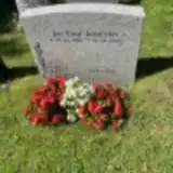 Jan Johansen 1930 – 2013
- Kaare Johansen 1926 – 2004
- Sally Johansen 1883 – 1968
- Arild Johnsen 1942 – 2000
Looking for someone who isn't listed? Request a photo.
Nearby cemeteries
The closest other burial grounds listed on EveryStone.
- Grytnesfeltet Cemetery 4.1 km away · Sætre · 78 records
- Frogn Kirke 6.6 km away · Frogn · 103 records
- Ås Churchyard, Ås 8.0 km away · Ås · 83 records
- Åros Churchyard 8.1 km away · Åros
- Vestby Churchyard 9.1 km away · Vestby
- Fagerstrand Cemetery 9.1 km away · Fagerstrand · 15 records
- Nordby Churchyard 10 km away · Vinterbro
- Filtvet Churchyard 11 km away · Filtvet
- Hurum Churchyard 11 km away · Klokkarstua · 54 records
- Kroer Churchyard 13 km away · Ås
Contribute with the app
Our website works smoothly on both desktop and mobile devices. Prefer a native app? Check it out below.
- Capture clear headstone photos
- Save GPS grave locations automatically
- Transcribe inscriptions with our AI
- Suggest corrections to existing records
Common questions
How big is Drøbak Cemetery?
Drøbak Cemetery covers about 6,720 m² (1.7 acres), about the size of a soccer field. It is the 21st smallest of the 76 cemeteries we list in Akershus.
What is the oldest grave in this cemetery?
The oldest grave among the records we hold for Drøbak Cemetery is that of Christiane Parr, who died on July 29, 1849 at the age of 61.