
Cemetery #11022
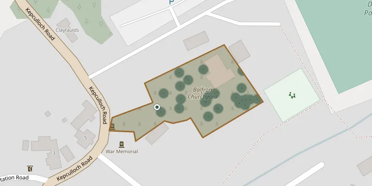
Balfron Churchyard
Also known as Balfron North Church · Balfron Parish Church and Churchyard, Kepculloch Road, Balfron
54
documented records
≈ 68–140
approx. capacity (graves)
3,400 m²
cemetery area
Nov 5, 2026
last modified
About this cemetery
The churchyard surrounds Balfron Parish Church on Kepculloch Road in Balfron, a village near Endrick Water, west of Stirling. The Church of Scotland church was designed by John Herbertson of Glasgow in 1832, with transepts added in the later 19th century. The churchyard also contains Second World War graves of Royal Air Force and Commonwealth airmen.
Cemetery location
GPS coordinates: 56.073841° N, 4.334900° W Directions in Google Maps (opens in a new tab)
Memorials
Showing the first 50 of 54, A–Z by surname. Search all records
 Lynne Bennie 1953 – 2008
 Agnes Brown ? – 1898
- Elizabeth Brown 1867 – 1894
- Margaret Brown 1841 – 1908
- Robert Brown ? – 1897
 Agnes Brownlie ? – 1954
- Williamina Brownlie ? – 1936
 Duncan Buchanan 1858 – 1933
 Annie Cain 1889 – 1963
 Lilias Cairns ? – 1937
 James Cameron 1813 – 1861
- Mary Cameron ? – 1934
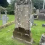 Margaret Campbell ? – 1884
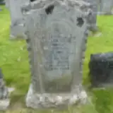 Alexander Christie ? – 1948
- Jane Christie 1891 – 1975
 Alexander Dewar ? – 1908
- James Dewar ? – 1921
- John Dewar 1864 – 1890
 Margaret Dunlop ? – 1887
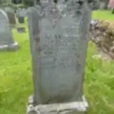 Christina English 1873 – 1953
- Joseph English ? – 1923
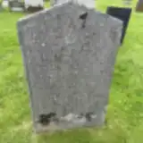 Elizabeth Ferguson 1863 – 1925
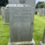 Jane Garrow ? – 1935
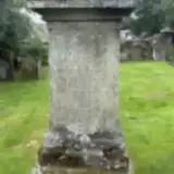 Mary Gassels ? – 1830
- Jane Hart 1888 – 1975
- William Hart 1856 – 1940
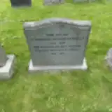 Elizabeth Kennedy 1920 – 2009
- William Kennedy 1914 – 1992
- Christina Kenner ? – 1908
- Alexander MacFarlane 1874 – 1933
- Chrissie MacFarlane ? – 1964
- Peggy MacFarlane ? – 1932
- David MacKinnon 1840 – 1903
- John MacKinnon ? – 1863
 Janet Malcolm 1862 – 1866
 Marion McLellan 1849 – 1913
- Margaret Mitchell ? – 1956
 Jane Robertson 1831 – 1861
 Alec Simpson 1929 – 1934
- Iain Simpson ? – 1985
- James Simpson 1936 – 1998
- John Simpson ? – 1968
- Christina Stewart ? – 1866
- David Stewart 1837 – 1879
- David Stewart ? – 1832
- James Stewart ? – 1859
- Jane Stewart ? – 1867
- Christina Taylor ? – 1962
- Janet Thomson 1782 – 1864
 John Ure 1824 – 1874
Looking for someone who isn't listed? Request a photo.
Nearby cemeteries
The closest other burial grounds listed on EveryStone.
- Balfron Cemetery 630 m away · Balfron · 10 records
- Killearn Cemetery 4.0 km away · Gartness
- Killearn Woodland Burial Ground 4.1 km away · Gartness
- Killearn Church 4.2 km away · Killearn · 73 records
- Buchlyvie Churchyard 5.3 km away · Buchlyvie
- Fintry Cemetery 6.8 km away · Fintry
- Drymen Church of Scotland 7.5 km away · Drymen · 8 records
- Gartmore Cemetery 8.2 km away · Gartmore
- Gartmore Parish Churchyard 8.3 km away · Gartmore
- Fintry Parish Churchyard 8.5 km away · Fintry · 19 records
Contribute with the app
Our website works smoothly on both desktop and mobile devices. Prefer a native app? Check it out below.
- Capture clear headstone photos
- Save GPS grave locations automatically
- Transcribe inscriptions with our AI
- Suggest corrections to existing records
Common questions
How big is Balfron Churchyard?
Balfron Churchyard covers about 3,400 m² (0.8 acres), about half the size of a soccer field. It is the 32nd largest of the 68 cemeteries we list in Stirlingshire.
What is the oldest grave in this cemetery?
The oldest grave among the records we hold for Balfron Churchyard is that of Mary Gassels, who died on July 17, 1830.