
Cemetery #11360
Sart-Dames-Avelines Cemetery II
Local name: Cimetière de Sart Dames Avelines
23
documented records
≈ 130–260
approx. capacity (graves)
6,540 m²
cemetery area
Nov 5, 2026
last modified
About this cemetery
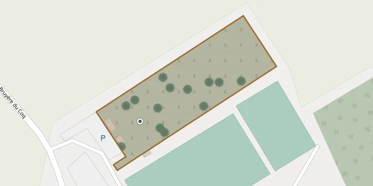
The cemetery on Chemin de la Bruyère du Coq is the municipal cemetery of Sart-Dames-Avelines, a sub-municipality of Villers-la-Ville. It is distinct from the old cemetery of the village on Rue de Villers.
Cemetery location
GPS: GPS coordinates: 50.570358° N, 4.498865° E Directions in Google Maps (opens in a new tab)
Memorials
23 memorials, A–Z by last name.
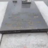 Jeannette Berger 1918 – 2009
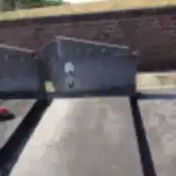 Jean Bornain 1894 – 1966
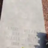 Maria Bultot 1901 – 1973
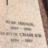 Juliette Charlier 1894 – 1982
 André Chaufouraux 1960 – 2011
 Daniel Cravillon 1957 – 2011
- Michel Cravillon 1953 – 2004
 Emile Dance 1907 – 1980
- René Druez 1914 – 2004
- Alberte Fabre 1908 – 1987
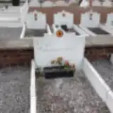 Louis Hermans 1998 – 2000
- René Hirsoil 1889 – 1960
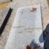 Clémence Kempeneers 1910 – 1997
 Berhe Leton 1903 – 1982
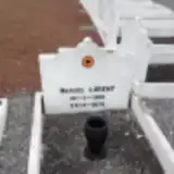 Marcel Lorent 1905 – 1970
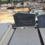 Pierre Mari 1927 – 2007
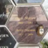 Betty Masson 1955 – 2009
- Louis Masson 1940 – 1995
- Charles Mignolet 1904 – 1988
- Marcel Mignolet 1902 – 1981
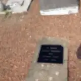 Juliette Persenaire 1890 – 1972
- John Simmonds 1942 – 2007
- Ida Sommeville 1927 – 1998
Looking for someone who isn't listed? Request a photo.
Nearby cemeteries
The closest other burial grounds listed on EveryStone.
- Sart-Dames-Avelines Old Cemetery 350 m away · Villers-la-Ville · 31 records
- Villers-la-Ville Cemetery 2.6 km away · Villers-la-Ville · 31 records
- Baisy-Thy Cemetery 3.2 km away · Genappe · 140 records
- Marbais Cemetery 3.4 km away · Villers-la-Ville · 35 records
- Tilly Cemetery 3.5 km away · Villers-la-Ville · 29 records
- Tangissart Cemetery 4.7 km away · Walloon Brabant · 32 records
- Marbisoux Cemetery 4.9 km away · Villers-la-Ville · 3 records
- Saint-Martin Churchyard, Villers-Perwin 5.1 km away · Les Bons Villers · 11 records
- Loupoigne Cemetery 5.3 km away · Genappe · 47 records
- Mellery Cemetery 5.3 km away · Mellery · 16 records
Contribute with the app
Our website works smoothly on both desktop and mobile devices. Prefer a native app? Check it out below.
- Capture clear headstone photos
- Save GPS grave locations automatically
- Transcribe inscriptions with our AI
- Suggest corrections to existing records
Common questions
How big is Sart-Dames-Avelines Cemetery II?
Sart-Dames-Avelines Cemetery II covers about 6,540 m² (1.6 acres), about the size of a soccer field. It is the 44th largest of the 175 cemeteries we list in Walloon Brabant.
What is the oldest grave in this cemetery?
The oldest grave among the records we hold for Sart-Dames-Avelines Cemetery II is that of René Hirsoil, who died in 1960 at the age of 71.