
Cemetery #11408
Poděbrady Kluk Cemetery
Local name: Hřbitov Poděbrady Kluk
Also known as Hřbitov v Poděbradech
51
documented records
≈ 530–1,100
approx. capacity (graves)
0.026 km²
cemetery area
Nov 5, 2026
last modified
About this cemetery
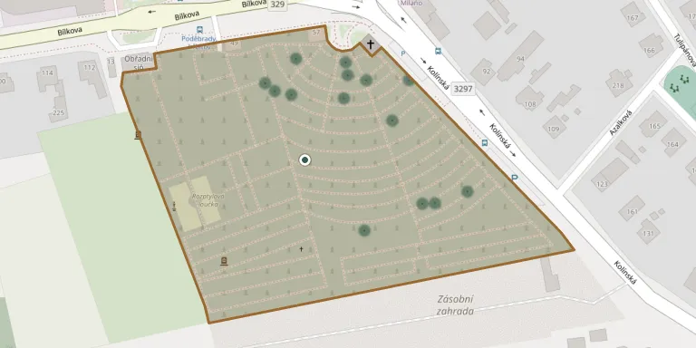
The cemetery in the Kluk district of Poděbrady lies south-west of the town centre at the corner of Bílkova and Kolínská streets. It covers 2.7 hectares, is managed by the town and is listed as an immovable cultural monument. It is regarded as one of the finest examples of funerary art from the turn of the 19th and 20th centuries. A Jewish cemetery founded in 1898 occupies the south-western part; it was devastated during the Second World War and all but one of its gravestones were removed.
Cemetery location
GPS coordinates: 50.132900° N, 15.103800° E Directions in Google Maps (opens in a new tab)
Memorials
Showing the first 50 of 51, A–Z by surname. Search all records
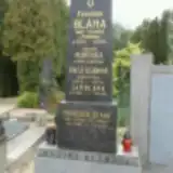 František Bláha 1844 – 1904
- František Bláha 1886 – 1945
- Jan Bláha 1883 – 1961
- Mařenka Bláhová ? – 1905
- Vilča Bláhová 1910 – 1942
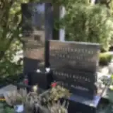 Alexandra Brejchová 1961 – 2010
- Dagmar Brejchová 1930 – 1971
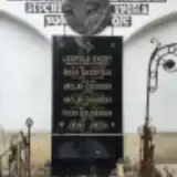 Roza Douděrová 1889 – 1956
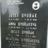 Josef Dvořák 1904 – 1982
- Josef Dvořák 1870 – 1940
- Anna Dvořáková 1878 – 1945
- Blažena Dvořáková 1913 – 1994
 Jarmila Hellichová 1889 – 1986
- Marie Hellichová 1814 – 1877
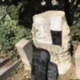 Božena Hozmanová 1884 – 1912
- František Koštál 1896 – 1933
- Emanuel Košťál 1897 – 1937
- Anežka Koštálová 1895 – 1989
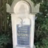 Alexandra Kotzová 1871 – 1907
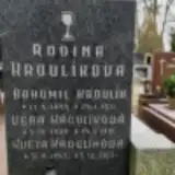 Bohumil Kroulík 1895 – 1921
- Květa Kroulíková 1947 – 2013
- Věra Kroulíková 1908 – 1991
 Stanislav Kuba 1882 – 1905
 František Kulich ? – 1852
- Marie Kulichová 1783 – 1849
 Bohuslav Lahoda ? – 1939
- Jaroslav Lahoda 1926 – 2017
- Jaroslav Lahoda 1901 – 1942
- Josef Lahoda 1895 – 1936
- Václav Lahoda 1891 – 1940
- Zdenka Lahodová 1932 – 2025
 Marie Merhautová 1856 – 1922
- Aloisie Novotná 1884 – 1973
- Václav Novotný 1885 – 1982
 Venouš Podlipný 1901 – 1919
 Klára Šlavická 1877 – 1970
- Zdenka Šlavická 1922 – 1998
- Ladislav Šprosec ? – 1867
 Anna Štefanková ? – 1939
 Bedřich Stejskal 1906 – 1987
- Anna Stejskalová 1903 – 1989
- Vondrovicová Věruška 1904 – 1918
- Ančička Vondrovic 1903 – 1914
- Jakub Vondrovic 1865 – 1941
- Otakar Vondrovic 1908 – 1985
- Anna Vondrovicová 1883 – 1961
- Aša Vondrovicová 1907 – 1998
- Emanuel Zábrana ? – 1978
- Jan Zábrana 1931 – 1984
- Jiřina Zábranová 1903 – 1974
Looking for someone who isn't listed? Request a photo.
Nearby cemeteries
The closest other burial grounds listed on EveryStone.
- Poděbrady Jewish Cemetery 90 m away · Poděbrady
- Písková Lhota Cemetery 3.5 km away · Písková Lhota
- Poděbrady Cemetery 3.7 km away · Velké Zboží
- Kovanice Cemetery 4.2 km away · Kovanice
- Vrbová Lhota Cemetery 4.3 km away · Vrbová Lhota · 4 records
- Sokoleč Cemetery 4.4 km away · Sokoleč · 15 records
- Kovanice Jewish Cemetery 4.5 km away · Kovanice · 1 record
- Kovanice St. Wenceslas Old Churchyard 4.6 km away · Kovanice
- Kostelní Lhota Cemetery 4.7 km away · Kostelní Lhota
- Libice nad Cidlinou Evangelical Cemetery 5.4 km away · Libice · 16 records
Contribute with the app
Our website works smoothly on both desktop and mobile devices. Prefer a native app? Check it out below.
- Capture clear headstone photos
- Save GPS grave locations automatically
- Transcribe inscriptions with our AI
- Suggest corrections to existing records
Common questions
How big is Poděbrady Kluk Cemetery?
Poděbrady Kluk Cemetery covers about 26,000 m² (6.5 acres), about the size of 4 soccer fields. It is the 14th largest of the 906 cemeteries we list in Central Bohemian Region.
What is the oldest grave in this cemetery?
The oldest grave among the records we hold for Poděbrady Kluk Cemetery is that of Marie Kulichová, who died on June 22, 1849 at the age of 66.