
15
documented records
≈ 34–69
approx. capacity (graves)
1,720 m²
cemetery area
Nov 5, 2026
last modified
About this cemetery
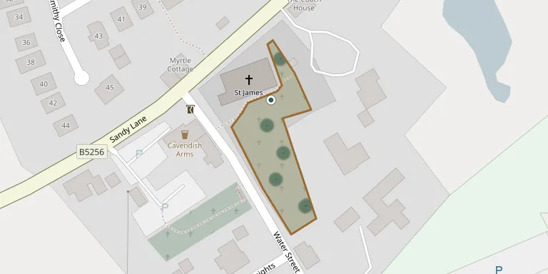
The churchyard of St James' Church in Brindle, Lancashire, belongs to a church recorded as founded before 1190. It contains a sundial, probably of the 18th century, listed at Grade II. It also holds the war graves of five soldiers of the First World War and an airman and a Pioneer Corps officer of the Second World War.
Cemetery location
GPS coordinates: 53.713333° N, 2.608611° W Directions in Google Maps (opens in a new tab)
Memorials
15 memorials, A–Z by surname.
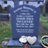 Jason Faulkner 1983 – 2003
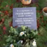 Frank Kerwin 1925 – 2000
- Freda Kerwin 1923 – 2018
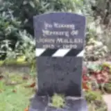 John Miller 1915 – 1992
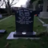 Betsy Sharples ? – 1987
- John Sharples ? – 1950
- Muriel Sharples 1940 – 1942
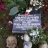 Enid Shuttleworth 1924 – 2019
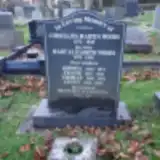 Benjamin Wetherill 1912 – 1991
- Cornelius Woods 1873 – 1938
- Frank Woods 1907 – 1931
- Jenny Woods 1912 – 2004
- Joshua Woods 1905 – 1971
- Mary Woods 1878 – 1956
- Thomas Woods 1908 – 1937
Looking for someone who isn't listed? Request a photo.
Nearby cemeteries
The closest other burial grounds listed on EveryStone.
- St. Bedes Churchyard 2.1 km away · Clayton Le Woods
- Brindle St Josephs Church, Hoghton 2.2 km away · Hoghton · 32 records
- Holy Trinity Churchyard 2.3 km away · Hoghton · 5 records
- St. Chad's South Hill Churchyard 3.4 km away · Wheelton
- St. Saviour's Churchyard 3.4 km away · Bamber Bridge
- St John the Evangelist Churchyard 3.5 km away · Whittle le Woods
- All Saints Churchyard 3.7 km away · Walton-le-Dale
- St Paul's Churchyard 3.7 km away · Withnell
- St Barnabas Churchyard 3.8 km away · Heapey
- St Mary's Churchyard Brownedge 4.3 km away · Bamber Bridge
Contribute with the app
Our website works smoothly on both desktop and mobile devices. Prefer a native app? Check it out below.
- Capture clear headstone photos
- Save GPS grave locations automatically
- Transcribe inscriptions with our AI
- Suggest corrections to existing records
Common questions
How big is St James's Churchyard?
St James's Churchyard covers about 1,720 m² (0.4 acres), about the size of 7 tennis courts. It is the 49th smallest of the 298 cemeteries we list in Lancashire.
What is the oldest grave in this cemetery?
The oldest grave among the records we hold for St James's Churchyard is that of Frank Woods, who died in 1931 at the age of 24.