
Cemetery #11907
Llangwstenin Cemetery
Also known as Saint Gwstenin Church and Public Cemetery, Llangwstenin · St Gwstenins Church, Llangwstenin
13
documented records
≈ 140–280
approx. capacity (graves)
6,920 m²
cemetery area
Oct 27, 2026
last modified
About this cemetery
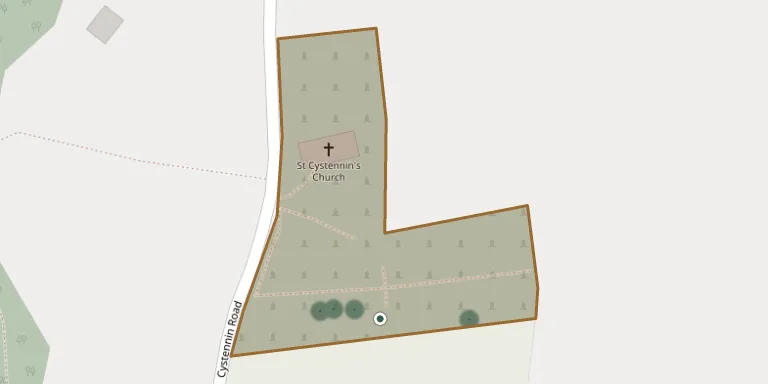
Llangwstenin Public Cemetery at Llandudno Junction is managed by Conwy County Council. It lies next to the Llangwstenin (St Cystennin's) churchyard, which is managed separately by the church. Llangystennin is a rural parish south-east of Llandudno and Llanrhos.
Cemetery location
GPS coordinates: 53.296249° N, 3.768538° W Directions in Google Maps (opens in a new tab)
Memorials
13 memorials, A–Z by surname.
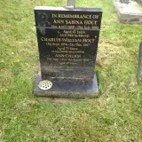 Ann Churm 1920 – 1990
- Ann Holt 1890 – 1952
- Charles Holt 1894 – 1967
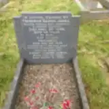 Sidney James 1895 – 1980
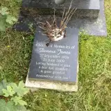 Dennis Jones 1926 – 2009
- Frederick Jones ? – 1952
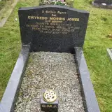 Gwynedd Jones 1919 – 2001
- Margaret Jones ? – 1979
 Edith Pryce 1901 – 1988
- Gwenllian Pryce 1932 – 1984
- Margaret Pryce 1911 – 1994
- Thomas Pryce 1902 – 1980
- William Pryce 1910 – 1997
Looking for someone who isn't listed? Request a photo.
Nearby cemeteries
The closest other burial grounds listed on EveryStone.
- Bron Y Nant Cemetery 650 m away · Colwyn Bay
- Mynwent Ffolt 1.1 km away · Glanwydden
- Saint Trillo Church 1.8 km away · Rhôs-on-Sea · 75 records
- Llanrhos Lawn Cemetery 3.1 km away · Llandudno · 88 records
- St. Hilary's Churchyard, Deganwy 3.1 km away · Deganwy
- Cemetery near Colwyn Bay 3.3 km away · Colwyn Bay
- Saint Ffraidd Churchyard and Extension 3.5 km away · Conwy
- Aberconwy Abbey 4.4 km away · Conwy
- Old Colwyn (Saint Catherine) Churchyard 4.4 km away · Old Colwyn
- Conwy (Saint Agnes) Cemetery 4.8 km away · Conwy · 9 records
Contribute with the app
Our website works smoothly on both desktop and mobile devices. Prefer a native app? Check it out below.
- Capture clear headstone photos
- Save GPS grave locations automatically
- Transcribe inscriptions with our AI
- Suggest corrections to existing records
Common questions
How big is Llangwstenin Cemetery?
Llangwstenin Cemetery covers about 6,920 m² (1.7 acres), about the size of a soccer field. It is the 20th largest of the 72 cemeteries we list in Conwy.
What is the oldest grave in this cemetery?
The oldest grave among the records we hold for Llangwstenin Cemetery is that of Frederick Samuel Jones, who died on April 26, 1952.