
Cemetery #12548
Almond Lane Cemetery
29
documented records
≈ 620–1,200
approx. capacity (graves)
0.031 km²
cemetery area
Nov 5, 2026
last modified
About this cemetery
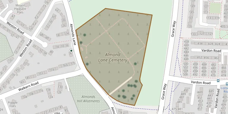
Almond Lane Cemetery is the older of Stevenage's two cemeteries, the other being on Weston Road. It is a fairly large cemetery between the old and new towns of Stevenage and is managed by the local council. Questions about visits or burials can go to +44 1438 367109; more information is available from stevenage.gov.uk.
Cemetery location
GPS: GPS coordinates: 51.916111° N, 0.195950° W Directions in Google Maps (opens in a new tab)
Memorials
29 memorials, A–Z by surname.
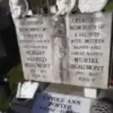 Muriel Beaumont 1940 – 2007
- Robert Beaumont 1932 – 1993
 Ernest Bradbury 1913 – 1990
- Ethel Bradbury 1917 – 1996
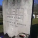 Florence Bygrave 1910 – 1990
- Walter Bygrave 1908 – 1987
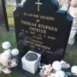 Joyce Chester 1925 – 2013
- Thomas Chester 1927 – 2005
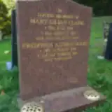 Frederick Clark 1927 – 2013
- Mary Clark 1929 – 1991
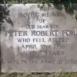 Peter Ford 1951 – 1958
 Val Hallett 1944 – 2019
 Peter Hanson 1959 – 1988
 Frank Knott 1926 – 2005
- Ken Knott ? – 1987
- Mary Knott 1935 – 2009
 Catherine Mumford 1917 – 2003
- Frank Mumford ? – 1988
 Betty Osborne 1920 – 1987
- Edward Osborne 1920 – 1995
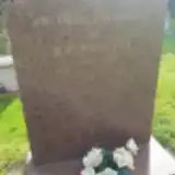 Joe Pettitt 1934 – 1994
- Carole Porter 1962 – 2020
 Gladys Verrier 1918 – 1992
- Walter Verrier 1916 – 1992
 Godfrey Waldock 1910 – 1990
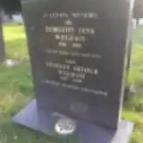 Dorothy Welham 1910 – 1990
- Stanley Welham 1917 – 1998
 Cyril Williams 1913 – 2001
- Valerie Williams 1914 – 1995
Looking for someone who isn't listed? Request a photo.
Nearby cemeteries
The closest other burial grounds listed on EveryStone.
- St Nicholas Churchyard 460 m away · Stevenage
- Weston Road Cemetery 650 m away · Stevenage
- St Marys Church, Graveley 2.5 km away · Graveley · 4 records
- Little Wymondley Cemetery 2.9 km away · Little Wymondley
- Shephall Cemetery 3.1 km away · Shephall
- Great Wymondley Cemetery 3.9 km away · Great Wymondley
- Aston, St Mary's Churchyard 4.3 km away · Aston
- St Ippolyts Cemetery 4.5 km away · St Ippolyts
- Baptist Chapel Churchyard Cemetery, Walkern 4.6 km away · Walkern
- Weston (Holy Trinity) Churchyard 4.9 km away · Weston · 7 records
Contribute with the app
Our website works smoothly on both desktop and mobile devices. Prefer a native app? Check it out below.
- Capture clear headstone photos
- Save GPS grave locations automatically
- Transcribe inscriptions with our AI
- Suggest corrections to existing records
Common questions
How big is Almond Lane Cemetery?
Almond Lane Cemetery covers about 31,000 m² (7.6 acres), about the size of 4 soccer fields. It is the 24th largest of the 216 cemeteries we list in Hertfordshire.
What is the oldest grave in this cemetery?
The oldest grave among the records we hold for Almond Lane Cemetery is that of Peter Robert Ford, who died on April 18, 1958 at the age of 7.