
30
documented records
≈ 68–140
approx. capacity (graves)
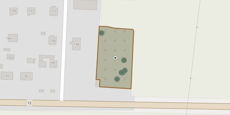
3,390 m²
cemetery area
Nov 5, 2026
last modified
About this cemetery
The former churchyard at Rostoklaty is an oval terrace around the church, enclosed by a sandstone wall dating from 1688. The enclosure has a gate and is listed as a heritage site.
Cemetery location
GPS coordinates: 50.071350° N, 14.805331° E Directions in Google Maps (opens in a new tab)
Memorials
30 memorials, A–Z by surname.
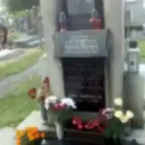 Anna Adamcová 1899 – 1983
- Jaroslav Adamec 1897 – 1959
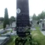 Antonín Boháč 1896 – 1914
- Josef Boháč 1866 – 1937
- Václav Boháč 1894 – 1919
- Anna Boháčová 1899 – 1938
- Blažena Boháčová 1917 – 1996
- Marie Boháčová 1876 – 1941
 Marie Brazdová 1874 – 1955
- Božena Hlaváčková 1914 – 1940
- Antonín Janke 1867 – 1952
- Františka Janková-ová 1869 – 1921
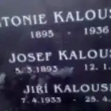 Jiří Kalousek 1933 – 2008
- Josef Kalousek 1893 – 1955
- Antonie Kalousková 1895 – 1936
- Marianne Kalousková 1938 – 2006
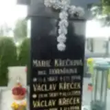 Václav Křeček 1914 – 1998
- Václav Křeček 1881 – 1959
- Marie Křečková 1883 – 1940
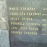 Marie Pokorná 1857 – 1936
- František Pokorný 1857 – 1941
- Hana Semerádová 1953 – 1999
- Josef Škoda 1881 – 1935
- Josef Škoda 1909 – 1986
- Bohumila Škodová 1888 – 1960
- Ludmila Škodová 1913 – 1992
- Jan Žížala 1894 – 1963
- Oldřich Žížala 1924 – 1990
- Hana Žížalová 1923 – 1974
- Marie Žížalová 1901 – 1977
Looking for someone who isn't listed? Request a photo.
Nearby cemeteries
The closest other burial grounds listed on EveryStone.
- Tismice Cemetery 2.3 km away · Tismice
- Tuklaty Cemetery 3.1 km away · Tuklaty
- Český Brod Cemetery 3.4 km away · Štolmíř
- Přišimasy Cemetery 3.7 km away · Přišimasy
- Černíky Cemetery 4.0 km away · Černíky
- Český Brod Cemetery 4.2 km away · Český Brod
- Úvaly Cemetery near Prague 4.8 km away · Úvaly · 132 records
- Přistoupim Cemetery 5.0 km away · Přistoupim
- Hradešín Cemetery 5.1 km away · Hradešín
- Vykáň Cemetery 5.2 km away · Vykáň
Contribute with the app
Our website works smoothly on both desktop and mobile devices. Prefer a native app? Check it out below.
- Capture clear headstone photos
- Save GPS grave locations automatically
- Transcribe inscriptions with our AI
- Suggest corrections to existing records
Common questions
How big is Rostoklaty Cemetery?
Rostoklaty Cemetery covers about 3,390 m² (0.8 acres), about half the size of a soccer field. It is the 302nd largest of the 906 cemeteries we list in Central Bohemian Region.
What is the oldest grave in this cemetery?
The oldest grave among the records we hold for Rostoklaty Cemetery is that of Antonín Boháč, who died on August 22, 1914 at the age of 17.