
22
documented records
≈ 22–34
approx. capacity (graves)
850 m²
cemetery area
Nov 5, 2026
last modified
About this cemetery
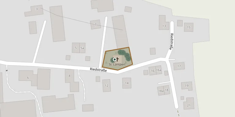
The cemetery at Riedenzhofen, in the municipality of Röhrmoos, is a walled churchyard with 28 grave plots surrounding the branch church of St. Lantpert. Riedenzhofen belonged to the parish of Vierkirchen until 1915, when it was transferred to the parish of Röhrmoos.
Cemetery location
GPS coordinates: 48.339489° N, 11.452070° E Directions in Google Maps (opens in a new tab)
Memorials
22 memorials, A–Z by surname.
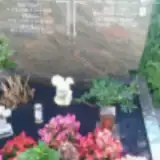 Konrad Burkhardt 1959 – 1960
- Maria Burkhardt 1933 – 2002
- Rudolf Burkhardt 1937 – 2010
 Monshoff Dora 1908 – 1950
 Kreszenz Heinzinger 1917 – 2001
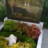 Josef Kollhammer 1937 – 1999
- Josef Kollhammer 1911 – 1962
- Maria Kollhammer 1909 – 1987
- Rosa Kollhammer 1937 – 2011
- Leonhard Mair 1894 – 1981
- Franz Nefzger 1913 – 1943
- Maria Nefzger 1875 – 1928
- Michael Nefzger 1902 – 1943
- Michael Nefzger 1874 – 1939
- Dora Perko Edle von Monshoff 1908 – 1950
- Georg Schreiber 1894 – 1914
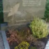 Agnes Wacht 1924 – 1997
- Johann Wacht 1891 – 1961
- Juliane Wacht 1896 – 1974
- Andreas Wagner 1875 – 1950
- Richard Wagner 1938 – 1990
- Johann Wallner 1908 – 1987
Looking for someone who isn't listed? Request a photo.
Nearby cemeteries
The closest other burial grounds listed on EveryStone.
- Kleininzemoos Cemetery 1.1 km away · Röhrmoos
- Roehrmoos am Kirchplatz Cemetery 1.4 km away · Röhrmoos · 120 records
- Am Kreuzhügel Cemetery 1.7 km away · Schönbrunn · 13 records
- Schönbrunn Cemetery 2.0 km away · Röhrmoos · 17 records
- Großinzemoos an der Churchyard 2.0 km away · Röhrmoos · 40 records
- St. Leonard and St. Anne Churchyard, Pasenbach 2.4 km away · Pasenbach · 54 records
- Großinzemoos Cemetery 2.4 km away · Röhrmoos
- Waldruh Amperland 2.7 km away · Reipertshofen
- Vierkirchen Cemetery 3.0 km away · Vierkirchen · 6 records
- Biberbach Cemetery 3.5 km away · Röhrmoos · 44 records
Contribute with the app
Our website works smoothly on both desktop and mobile devices. Prefer a native app? Check it out below.
- Capture clear headstone photos
- Save GPS grave locations automatically
- Transcribe inscriptions with our AI
- Suggest corrections to existing records
Common questions
How big is Riedenzhofen?
Riedenzhofen covers about 850 m² (0.2 acres), about the size of 3 tennis courts. It is the 475th smallest of the 5,401 cemeteries we list in Bavaria.
What is the oldest grave in this cemetery?
The oldest grave among the records we hold for Riedenzhofen is that of Georg Schreiber, who died on October 2, 1914 at the age of 19.