
Cemetery #13204
Tilehurst (Saint Michael) Churchyard
Also known as St Michael's Church · St Michael's Churchyard
40
documented records
≈ 360–710
approx. capacity (graves)
0.018 km²
cemetery area
Nov 5, 2026
last modified
About this cemetery
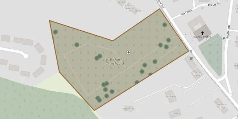
The churchyard of St Michael's Church in Tilehurst, a Church of England parish church in the Diocese of Oxford whose building dates from the 12th century. The church and its old churchyard lie within the St Michael's Conservation Area of Reading, and there is also a larger churchyard.
Cemetery location
GPS coordinates: 51.451099° N, 1.033650° W Directions in Google Maps (opens in a new tab)
Memorials
40 memorials, A–Z by surname.
 Janet Adams 1963 – 2008
 Leslie Allen 1912 – 2006
- Phyllis Allen 1911 – 1981
 Hollie Andrews 1987 – 1989
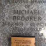 Michael Brooker 1938 – 2012
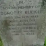 Henry Buckle ? – 1971
- Dorothy Buckley 1898 – 1943
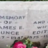 Edith Bunce 1875 – 1964
- James Bunce 1867 – 1947
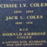 Cissie Coles 1900 – 1966
- Donald Coles 1927 – 2008
- Jack COles 1898 – 1974
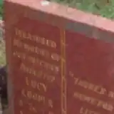 Lucy Cooper 1982 – 1983
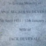 Annie Deverall 1921 – 2013
- Jack Deverall 1916 – 1999
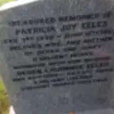 Derek Eeles 1959 – 2009
- Patricia Eeles 1930 – 1963
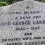 David Gardener 1940 – 1967
- Marie Gardener 1914 – 1979
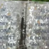 Rose Gowlett 1914 – 1985
- Stanley Gowlett 1905 – 1980
 John Hardy 1914 – 1985
 George Hawkins 1869 – 1950
- Ruth Hawkins 1869 – 1957
- William Hawkins 1904 – 1978
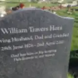 William Hora 1926 – 2010
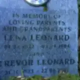 Lena Leonard 1922 – 1984
- Trevor Leonard 1923 – 2007
 Dorothy Malham 1901 – 1970
- Mark Malham 1903 – 1964
- Charles Melbourne 1877 – 1941
- Harriet Melbourne 1878 – 1950
 Harold Paddick 1905 – 1966
- Mary Paddick ? – 1963
 Annie Pope ? – 1973
- Joseph Pope 1880 – 1964
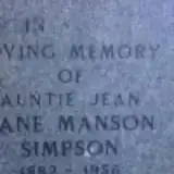 Jean Simpson 1882 – 1956
 Gladys Townend 1889 – 1963
- Philip Townend 1885 – 1971
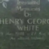 Henry White 1928 – 1992
Looking for someone who isn't listed? Request a photo.
Nearby cemeteries
The closest other burial grounds listed on EveryStone.
- Norcot Hill Cemetery 1.7 km away · Tilehurst
- Sulham Cemetery 3.0 km away · Sulham
- St Mary the Virgin Cemetery 3.2 km away · Purley on Thames
- Holy Trinity Church, Theale 3.6 km away · Theale · 9 records
- St. Margaret's Churchyard 3.8 km away · Mapledurham
- St. Peter's Churchyard 4.2 km away · Caversham · 5 records
- St. Mary's Churchyard 4.2 km away · Reading
- Burghfield Cemetery 4.5 km away · Burghfield · 29 records
- St. Laurence Churchyard 4.5 km away · Reading
- Caversham Cemetery 4.8 km away · Caversham · 13 records
Contribute with the app
Our website works smoothly on both desktop and mobile devices. Prefer a native app? Check it out below.
- Capture clear headstone photos
- Save GPS grave locations automatically
- Transcribe inscriptions with our AI
- Suggest corrections to existing records
Common questions
How big is Tilehurst (Saint Michael) Churchyard?
Tilehurst (Saint Michael) Churchyard covers about 18,000 m² (4.4 acres), about the size of 2 soccer fields. It is the 14th largest of the 131 cemeteries we list in Berkshire.
What is the oldest grave in this cemetery?
The oldest grave among the records we hold for Tilehurst (Saint Michael) Churchyard is that of Charles Bayley Melbourne, who died on October 14, 1941 at the age of 64.