
Cemetery #13803
Burngrange Cemetery
Also known as West Calder & Burngrange Cemetery · West Calder Cemetery
156
documented records
≈ 460–910
approx. capacity (graves)
0.023 km²
cemetery area
Nov 4, 2026
last modified
About this cemetery
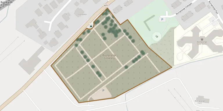
Burngrange Cemetery, also known as West Calder and Burngrange Cemetery, is the principal cemetery of West Calder in West Lothian. It lies on the western edge of the village, on the south side of the A71. The name recalls Burngrange, where an explosion at a shale mine on 10 January 1947 became a notable mining disaster. The Commonwealth War Graves Commission lists the cemetery.
Cemetery location
GPS coordinates: 55.847095° N, 3.583506° W Directions in Google Maps (opens in a new tab)
Memorials
Showing the first 50 of 156, A–Z by surname. Search all records
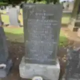 Catherine Addison ? – 1918
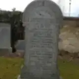 Agnes Aitken 1897 – 1922
- Alexander Aitken ? – 1918
- Arabella Aitken ? – 1911
- Mary Aitken ? – 1915
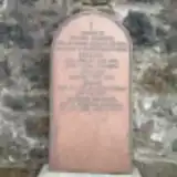 Hellen Anderson ? – 1874
- Hellen Anderson ? – 1876
- Margaret Anderson 1836 – 1909
- Alice Bellingham 1908 – 1979
- David Bellingham ? – 1973
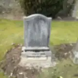 Henry Boyle 1884 – 1958
 Catherine Brownlee ? – 1885
 Leslie Bucknell ? – 1900
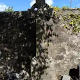 Annie Burns 1881 – 1932
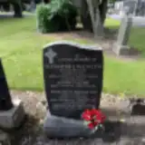 Agnes Calder ? – 1981
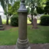 Annie Calder 1905 – 1982
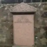 James Castle 1853 – 1897
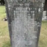 John Clarkson 1871 – 1934
- William Clarkson ? – 1929
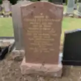 Jean Cunningham 1904 – 1999
- Thomas Cunningham ? – 1950
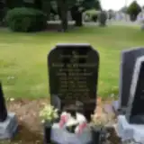 Jessie Davidson 1927 – 1975
- John Davidson 1922 – 1998
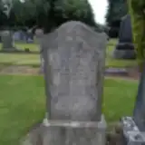 Alexander Dickson 1928 – 1929
 William Douglas 1819 – 1883
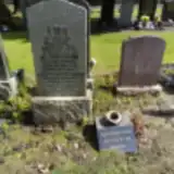 Agnes Fairley ? – 1973
- John Fairley ? – 1988
- William Fairley 1894 – 1976
 Mary Finnie ? – 1932
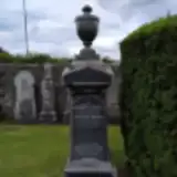 Archibald Forrest ? – 1918
- Lillias Forrest 1832 – 1901
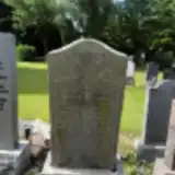 Lizzie Fraser 1898 – 1977
- William Fraser ? – 1964
- William Fraser ? – 1970
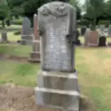 Elizabeth Gardner ? – 1924
- Cecilia Gausden ? – 2014
- Margaret Gibson ? – 1956
 Angus Gillies 1901 – 1974
 Alexander Gray 1750 – 1831
- David Gray ? – 1884
- George Gray ? – 1878
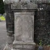 Mary Gray ? – 1889
- Robert Gray ? – 1880
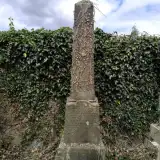 Margaret Haig 1850 – 1932
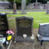 Agnes Hamilton ? – 2009
- Mary Hamilton ? – 1975
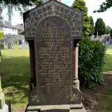 Archibald Kerr ? – 1877
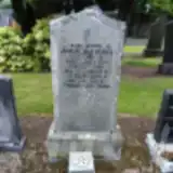 Georgina Kinsman ? – 1999
- Charles Lawson 1883 – 1962
 George Lind ? – 1881
Looking for someone who isn't listed? Request a photo.
Nearby cemeteries
The closest other burial grounds listed on EveryStone.
- West Calder Auld Kirk 910 m away · West Calder · 3 records
- Hermand Park Cemetery 1.7 km away · Polbeth · 11 records
- Adambrae Cemetery 4.4 km away · Livingston · 28 records
- Old Parish Church, Livingston 5.0 km away · Livingston · 91 records
- Kirkton Old 5.8 km away · Bathgate · 102 records
- Blaeberry Cemetery 5.9 km away · Whitburn
- Whitburn South Parish Church Cemetery 6.5 km away · Whitburn
- Bathgate Cemetery 7.0 km away · Bathgate · 50 records
- Boghead Cemetery 7.4 km away · Bathgate · 59 records
- Kirk of Calder 7.9 km away · Mid Calder · 27 records
Contribute with the app
Our website works smoothly on both desktop and mobile devices. Prefer a native app? Check it out below.
- Capture clear headstone photos
- Save GPS grave locations automatically
- Transcribe inscriptions with our AI
- Suggest corrections to existing records
Common questions
How big is Burngrange Cemetery?
Burngrange Cemetery covers about 23,000 m² (5.6 acres), about the size of 3 soccer fields. It is the 18th largest of the 76 cemeteries we list in Midlothian.
What is the oldest grave in this cemetery?
The oldest grave among the records we hold for Burngrange Cemetery is that of Alexander Gray, who died on December 13, 1831 at the age of 81.