
Cemetery #14112
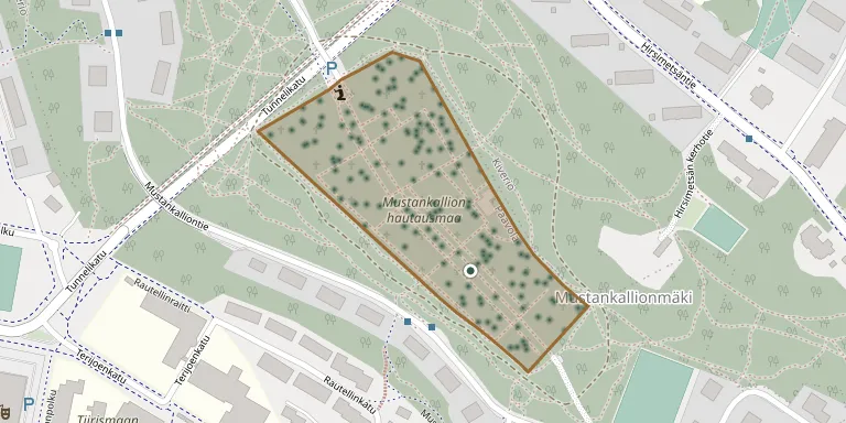
Mustakallio Cemetery, Lahti
Local name: Mustakallion hautausmaa, Lahti
Also known as Mustankallion hautausmaa
304
documented records
≈ 920–1,800
approx. capacity (graves)
0.046 km²
cemetery area
Nov 5, 2026
last modified
About this cemetery
Mustankallio Cemetery was inaugurated on 3 June 1917 under the name Uusi hautausmaa (New Cemetery) and is the second cemetery of the independent town of Lahti. It lies about two kilometres from the town centre on the Kiveriönmäki hill near the water tower. A burial area along the main path holds those killed in the air raids on Lahti between 1939 and 1944, and a chapel stands on the hill.
Cemetery location
GPS: GPS coordinates: 60.985687° N, 25.679600° E Directions in Google Maps (opens in a new tab)
Memorials
Showing the first 50 of 304, A–Z by last name. Search all records
 Juho Aaltonen 1885 – 1963
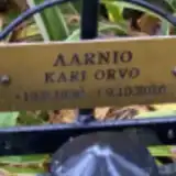 Kari Aarnio 1930 – 2016
 Aarne Ahonen 1917 – 1995
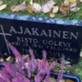 Impi Ajakainen 1901 – 1991
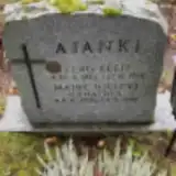 Eero Ajanki 1925 – 1998
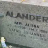 Impi Alander 1906 – 1990
- Vaind Alander 1906 – 1991
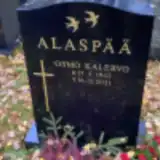 Osmo Alaspää 1942 – 2021
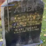 Anna-Liisa Alén 1919 – 1999
- Kalle Alén 1922 – 1997
- Kari Alén 1945 – 1945
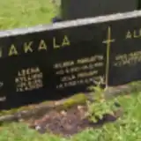 Aino Alhainen 1898 – 1979
- Hugo Alhainen 1893 – 1956
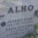 Jaakko Alho 1921 – 1994
 Eva Alt 1928 – 1985
- Helmi Alt 1920 – 1986
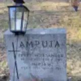 Erkki Ampuja 1917 – 1989
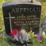 Anna Arffman 1912 – 1999
- Riitta Arffman 1952 – 2011
 Hugo Arola 1884 – 1933
- Suoma Arola 1892 – 1970
 Kaarlo Auvinen 1905 – 1961
- Kerttu Auvinen 1904 – 1958
- Ulla Auvinen 1942 – 1953
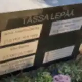 Anna Backa 1902 – 1946
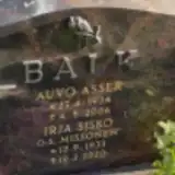 Auvo Balk 1934 – 2006
- Irja Balk 1933 – 2020
 Arvi Bkinqvust 1944 – 2009
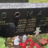 Enok Boman 1880 – 1936
- Hilma Boman 1881 – 1945
- Jarmo Boman 1948 – 2017
- Mikko Boman 1978 – 2020
- Paavo Boman 1921 – 1975
- Valma Boman 1920 – 2009
 Aili Ekholm 1906 – 1987
 Elin Ekman 1904 – 1994
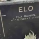 Eila Elo 1920 – 2000
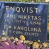 Ida Enqvist 1894 – 1979
- Saul Enqvist 1897 – 1948
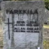 Eeva-Liisa Färkkilä 1925 – 1988
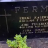 Airi Ferm 1931 – 2009
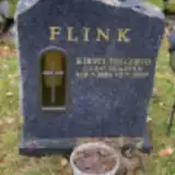 Kirsti Flink 1954 – 2007
 Aino Forsberg 1894 – 1964
- Juho Forsberg 1893 – 1985
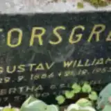 Gustav Forsgren 1886 – 1953
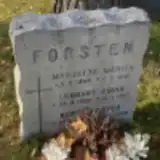 Kerttu Forsten ? – 1978
- Lennart Forsten 1908 – 1977
- Marjatta Forsten 1944 – 1946
 Veikko Glad 1926 – 2017
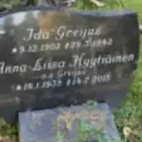 Ida Greijus 1902 – 1942
Looking for someone who isn't listed? Request a photo.
Nearby cemeteries
The closest other burial grounds listed on EveryStone.
- Lahti Church of the Cross Heroes' Cemetery 1.2 km away · Lahti · 31 records
- Lahti Old Cemetery 1.7 km away · Lahti · 410 records
- Lahti Railway Builders' Cemetery 2.5 km away · Lahti
- Punaisten joukkohaudan paikka 3.1 km away · Lahti
- Lahti West Cemetery 3.7 km away · Lahti · 333 records
- Levo Chapel and Cemetery, Lahti 4.1 km away · Lahti · 168 records
- Islaminuskoisten hautaosasto 4.6 km away · Lahti
- Tunnukseton hautaosasto 4.6 km away · Lahti
- Nastola Churchyard 14 km away · Lahti · 3 records
- Nastola Cemetery 14 km away · Lahti · 338 records
Contribute with the app
Our website works smoothly on both desktop and mobile devices. Prefer a native app? Check it out below.
- Capture clear headstone photos
- Save GPS grave locations automatically
- Transcribe inscriptions with our AI
- Suggest corrections to existing records
Common questions
How big is Mustakallio Cemetery, Lahti?
Mustakallio Cemetery, Lahti covers about 46,000 m² (11 acres), about the size of 6 soccer fields. It is the 4th largest of the 36 cemeteries we list in Päijät-Häme.
What is the oldest grave in this cemetery?
The oldest grave among the records we hold for Mustakallio Cemetery, Lahti is that of Lymin Talevine, who died on January 25, 1900 at the age of 34.