
23
documented records
≈ 260–530
approx. capacity (graves)
0.013 km²
cemetery area
Nov 5, 2026
last modified
About this cemetery
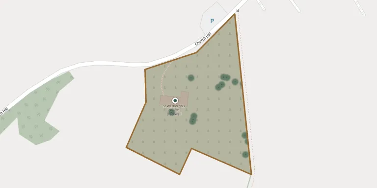
St. Werburgh's Churchyard surrounds the parish church at Blackwell, Derbyshire, three miles north-west of Alfreton. The present church was built around 1824 on the site of a Norman church and is thought to have Saxon origins. The churchyard contains the graves of four soldiers of the Second World War.
Cemetery location
GPS: GPS coordinates: 53.120983° N, 1.338068° W Directions in Google Maps (opens in a new tab)
Memorials
23 memorials, A–Z by last name.
 Elizabeth Bonsall 1867 – 1939
- Peter Bonsall ? – 1943
 Eddie Chamberlain 1918 – 1926
 Thomas Dalton ? – 1899
- Jennie Drury 1866 – 1897
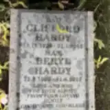 Clifford Hardy 1926 – 2005
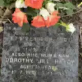 Edwin Hardy 1928 – 2000
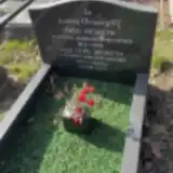 Fred Hesketh 1913 – 1995
- Sybil Hesketh 1922 – 2000
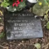 Sylvia Millington 1943 – 2000
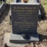 Margaret Morgan 1933 – 1991
 John Paulson 1826 – 1896
- Rebecca Paulson ? – 1913
 Emma Prince ? – 1940
- William Prince 1868 – 1948
 Hannah Sheriff ? – 1981
- Henry Sheriff 1905 – 1968
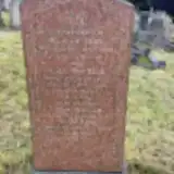 John Toon ? – 1947
- Mary Toon 1846 – 1924
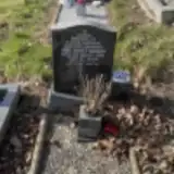 Jim Whittaker 1937 – 1994
- Toon William ? – 1906
 Eliza Woodward 1855 – 1937
- James Woodward ? – 1930
Looking for someone who isn't listed? Request a photo.
Nearby cemeteries
The closest other burial grounds listed on EveryStone.
- St. Michael and All Angels Churchyard 1.3 km away · South Normanton · 1 record
- Tibshelf Community Cemetery 2.5 km away · Tibshelf · 33 records
- St John the Baptist Churchyard 2.5 km away · Tibshelf · 63 records
- Huthwaite Cemetery 2.9 km away · Huthwaite
- St. Helen's Churchyard 3.5 km away · Pinxton
- Alfreton Cemetery 4.0 km away · Alfreton · 11 records
- Holy Cross Church, Morton 4.1 km away · Morton · 7 records
- Shirland Cemetery 4.3 km away · Shirland
- St Marys Church, Pilsley 4.4 km away · Pilsley · 3 records
- St. Leonard Churchyard 4.4 km away · Shirland · 18 records
Contribute with the app
Our website works smoothly on both desktop and mobile devices. Prefer a native app? Check it out below.
- Capture clear headstone photos
- Save GPS grave locations automatically
- Transcribe inscriptions with our AI
- Suggest corrections to existing records
Common questions
How big is St. Werburgh's Churchyard?
St. Werburgh's Churchyard covers about 13,000 m² (3.3 acres), about the size of 2 soccer fields. It is the 44th largest of the 319 cemeteries we list in Derbyshire.
What is the oldest grave in this cemetery?
The oldest grave among the records we hold for St. Werburgh's Churchyard is that of John Paulson, who died on October 7, 1896 at the age of 70.