
Cemetery #14650
Plumstead Cemetery
144
documented records
≈ 2,400–4,800
approx. capacity (graves)
0.121 km²
cemetery area
Nov 5, 2026
last modified
About this cemetery
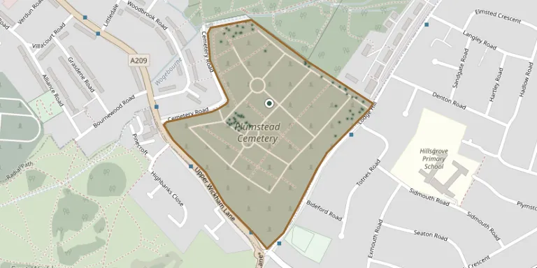
Plumstead Cemetery in southeast London was opened in 1890 by Woolwich Burial Board on former parkland, west of Woolwich Cemetery. It lies south-east of Woolwich, north of Wickham Lane, west of Lodge Hill and south of Bostall Wood. It holds a special plot for Woolwich's civilian war dead, and is a borough grade II site of grassland habitats.
Cemetery location
GPS coordinates: 51.476200° N, 0.112100° E Directions in Google Maps (opens in a new tab)
Memorials
Showing the first 50 of 144, A–Z by surname. Search all records
 Matilda Arnold 1869 – 1895
 Dorothy Arnup 1926 – 1997
 Esther Bayley ? – 1930
- Mary Bayley 1863 – 1920
 Sarah Blackie ? – 1885
 Jane Bowley ? – 1972
- Richard Bowley 1888 – 1965
 Charles Brand ? – 1866
- Daniel Brand ? – 1885
- Diana Brand 1834 – 1901
- George Brand 1885 – 1898
- Henry Brand ? – 1907
- Kate Brand ? – 1871
 Jane Bull ? – 1918
 Eliza Bussey ? – 1896
- Emma Bussey 1823 – 1894
- Fredrick Bussey ? – 1914
 Susannah Calder 1834 – 1917
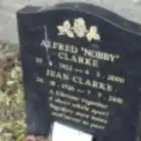 Alfred Clarke 1922 – 2000
- Jean Clarke 1926 – 2001
 Jennifer Cresswell 1912 – 1999
 Frederick Dance 1892 – 1956
 Paul Davis 1958 – 1959
 Annie Denoon ? – 1881
- Christina Denoon 1866 – 1872
- George Denoon ? – 1864
- Maria Denoon ? – 1872
- Walter Denoon ? – 1924
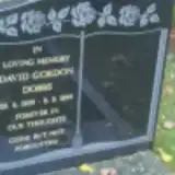 David Dobbs 1939 – 1996
 Rose Dodd 1923 – 1999
 Samuel Ellis ? – 1902
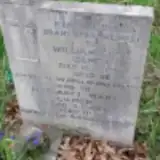 Margaret Gilmer 1914 – 1984
- William Gilmer ? – 1973
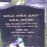 Michael Graggy 1945 – 2004
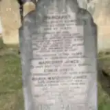 John Griffin ? – 1936
 Charles Hill 1910 – 1973
 Annie Hughes 1858 – 1922
 Lesmore Jarrett 1890 – 1965
 Ellen Jeff ? – 1928
- Richard Jeff 1862 – 1904
- Edwin Jones 1819 – 1908
- Edwin Jones ? – 1868
- Margaret Jones ? – 1892
- Margaret Jones ? – 1853
- Maria Jones ? – 1858
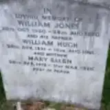 Mary Jones 1918 – 1988
- William Jones 1950 – 1970
- William Jones 1921 – 1981
 Caroline Kemm 1829 – 1924
- Edward Kemm ? – 1899
Looking for someone who isn't listed? Request a photo.
Nearby cemeteries
The closest other burial grounds listed on EveryStone.
- St. Michael’s Churchyard 470 m away · East Wickham
- Woolwich New Cemetery 820 m away · Woolwich
- Woolwich Cemetery 940 m away · Greenwich
- Woolwich Old Cemetery, Plumstead 1.0 km away · Plumstead
- Hillview Cemetery 1.7 km away · Welling · 5 records
- Bexleyheath Cemetery 2.8 km away · Bexleyheath · 78 records
- Chapel of Ease Bexleyheath 2.9 km away · Bexleyheath
- Erith Cemetery 2.9 km away · Erith
- Eltham Cemetery and Crematorium 3.1 km away · Eltham · 303 records
- St John the Baptist's Church 4.2 km away · Erith · 4 records
Contribute with the app
Our website works smoothly on both desktop and mobile devices. Prefer a native app? Check it out below.
- Capture clear headstone photos
- Save GPS grave locations automatically
- Transcribe inscriptions with our AI
- Suggest corrections to existing records
Common questions
How big is Plumstead Cemetery?
Plumstead Cemetery covers about 12.1 hectares (121,000 m²), about the size of 17 soccer fields. It is the 34th largest of the 321 cemeteries we list in London.
What is the oldest grave in this cemetery?
The oldest grave among the records we hold for Plumstead Cemetery is that of Margaret Jones, who died on July 22, 1853.