
Cemetery #14808
Ryhope Cemetery
79
documented records
≈ 570–1,100
approx. capacity (graves)
0.029 km²
cemetery area
Nov 6, 2026
last modified
About this cemetery
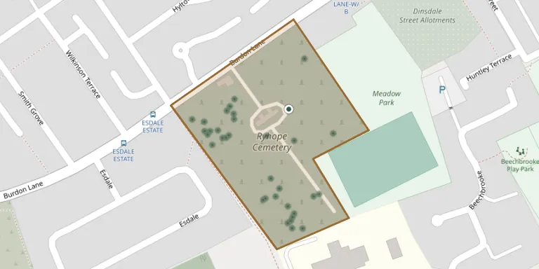
Ryhope Cemetery opened on 23 November 1898 and covers about 9.5 acres. It was established to serve the growing community of Ryhope, and the cemetery and its burial records are maintained by Sunderland City Council.
Cemetery location
GPS coordinates: 54.867802° N, 1.370000° W Directions in Google Maps (opens in a new tab)
Memorials
Showing the first 50 of 79, A–Z by surname. Search all records
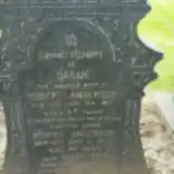 Robert Anderson 1854 – 1934
- Sarah Anderson ? – 1915
 William Bennet 1885 – 1950
- Ellen Bennett ? – 1951
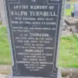 Margaret Bett ? – 1930
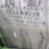 Elizabeth Brown 1858 – 1928
- William Brown ? – 1932
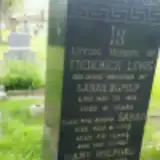 Sarah Burnip ? – 1979
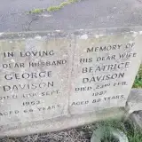 Beatrice Davison 1898 – 1987
- George Davison ? – 1963
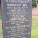 William Henderson ? – 1919
- Frederick Lewis ? – 1931
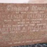 Arthur Pallister ? – 1975
- Leslie Pallister 1927 – 1946
- Pallister ? – 1959
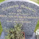 John Richardson 1908 – 1969
- May Richardson 1909 – 1998
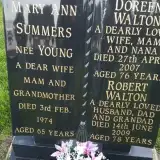 Mary Summers ? – 1974
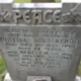 Rebecca Sutherland ? – 1962
- William Sutherland 1876 – 1940
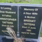 Bridget Tatters ? – 1993
- Christopher Tatters 1858 – 1920
- James Taylor ? – 1926
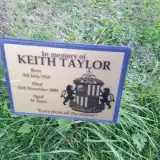 Keith Taylor 1958 – 2009
- William Taylor 1884 – 1919
- Turnbull Thomason ? – 1917
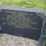 Beatrice Thompson ? – 1953
 George Thompson 1866 – 1930
- Richard Thompson 1899 – 1964
 Annie Thurloway 1872 – 1941
- John Thurloway 1872 – 1943
- Lily Thurloway ? – 1935
 James Tinmouth 1901 – 1977
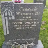 Joseph Tomlinson 1924 – 1968
 Ann Trotter 1924 – 1944
- Ann Trotter 1885 – 1949
- James Trotter ? – 1932
- John Trotter ? – 1933
- John Trotter ? – 1941
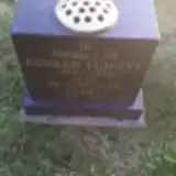 Edward Tumilty 1909 – 1955
- Ethel Tumilty 1910 – 2001
- Ellen Turnbull 1878 – 1945
- Ralph Turnbull ? – 1903
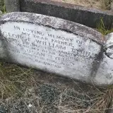 George Tyers 1874 – 1956
- Susan Tyers 1880 – 1957
- Ann Vine ? – 1911
- John Vine ? – 1912
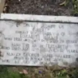 Elizabeth Walker ? – 1955
- George Walker 1891 – 1934
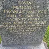 Mary Walker 1900 – 1973
Looking for someone who isn't listed? Request a photo.
Nearby cemeteries
The closest other burial grounds listed on EveryStone.
- St Pauls Church, Ryhope 550 m away · Ryhope
- Sunderland Cemetery 1.7 km away · Sunderland · 12 records
- St Leonard's RC 1.9 km away · Sunderland
- New Silksworth Cemetery 1.9 km away · New Silksworth
- St Matthew's Churchyard 2.5 km away · Silksworth
- Seaham Cemetery 2.8 km away · Seaham
- St Mary's Churchyard 2.8 km away · Seaham
- Christ Church, Seaham 2.9 km away · Seaham · 11 records
- St. John the Evangelist Churchyard 4.1 km away · Seaham · 4 records
- Princess Road Cemetery 4.3 km away · Seaham · 10 records
Contribute with the app
Our website works smoothly on both desktop and mobile devices. Prefer a native app? Check it out below.
- Capture clear headstone photos
- Save GPS grave locations automatically
- Transcribe inscriptions with our AI
- Suggest corrections to existing records
Common questions
How big is Ryhope Cemetery?
Ryhope Cemetery covers about 29,000 m² (7.1 acres), about the size of 4 soccer fields. It is the 29th largest of the 95 cemeteries we list in Tyne and Wear.
What is the oldest grave in this cemetery?
The oldest grave among the records we hold for Ryhope Cemetery is that of Sarah Wraith, who died on October 20, 1900 at the age of 58.