
82
documented records
≈ 180–360
approx. capacity (graves)
8,940 m²
cemetery area
Oct 29, 2026
last modified
About this cemetery
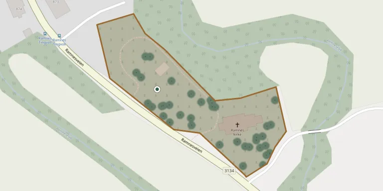
Ramnes kirkegård was originally a medieval churchyard, with the first graves laid around Ramnes Church, a stone long church thought to date from the 1100s. Ramnes was formerly a municipality of its own, merging with Våle into Re in 2002, and Re became part of Tønsberg in 2020.
Cemetery location
GPS coordinates: 59.346699° N, 10.253400° E Directions in Google Maps (opens in a new tab)
Memorials
Showing the first 50 of 82, A–Z by surname. Search all records
 Kilmar Aalborgen 1901 – 1982
- Lovise Aalborgen 1898 – 1983
 Bodil Aarhus 1901 – 1993
 Arnold Abrahamsen 1886 – 1962
- Klara Abrahamsen 1892 – 1973
- Ragnhild Abrahamsen 1920 – 2004
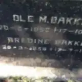 Bredine Bakke 1856 – 1943
 Dagny Bakke 1923 – 2000
- Ole Bakke 1853 – 1914
- Ole Bakke 1920 – 2008
 Anton Bøe 1857 – 1935
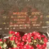 Hans Bøe 1895 – 1985
- Ingeborg Bøe 1903 – 1997
- Marie Bøe 1893 – 1954
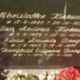 Borghild Borge 1909 – 1999
- Einar Borge 1905 – 1975
 Emil Bue 1918 – 2006
- Kristine Bue 1919 – 2013
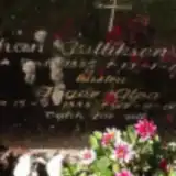 Inger Dahl 1888 – 1978
- Johan Dahl 1885 – 1970
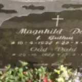 Magnhild Dahl 1922 – 1970
- Odd Dahl 1922 – 1988
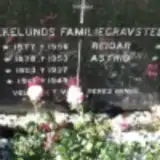 Aslaug Ekelund 1917 – 1949
- Astrid Ekelund 1906 – 1988
- Isak Ekelund 1903 – 1937
- Olaf Ekelund 1877 – 1956
- Reidar Ekelund 1911 – 1984
- Anna Eklund 1878 – 1953
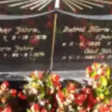 Anna Fahre 1889 – 1974
- Olaf Fahre 1923 – 2013
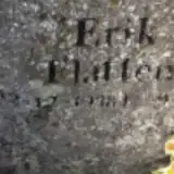 Erik Flåtten 1938 – 2007
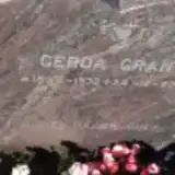 Gerda Gran 1932 – 2011
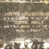 Hans Gustavsen 1893 – 1945
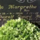 Hilda Hansen 1904 – 1958
- Thoralf Hansen ? – 1983
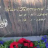 Karl Haug 1944 – 1997
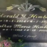 Ester Himberg 1912 – 2003
- Harald Himberg 1914 – 1984
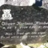 Oliver Himberg 2009 – 2009
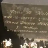 Anna Holt 1893 – 1969
- Asta Holt 1904 – 1986
- Hans Holt 1887 – 1963
 Camilla Horn 1905 – 2002
- Christian Horn 1899 – 1984
 Georg Hundstuen 1912 – 1996
- Gunvor Hundstuen 1913 – 2000
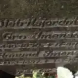 Aanund Imenes 1887 – 1962
- Gro Imenes 1890 – 1961
- Ludvig Jahre 1889 – 1972
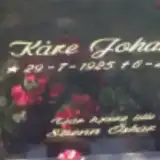 Kåre Johansen 1925 – 2013
Looking for someone who isn't listed? Request a photo.
Nearby cemeteries
The closest other burial grounds listed on EveryStone.
- Andebu Kirke 6.1 km away · Andebu · 64 records
- Undrumsdal Kirke 7.1 km away · Re · 40 records
- Fon Churchyard 7.7 km away · Re · 59 records
- Høyjord Stavkirke 7.9 km away · Andebu · 46 records
- Våle Cemetery 8.2 km away · Våle
- Sem Churchyard, Tønsberg, Norway 9.7 km away · Tønsberg · 375 records
- Vivestad Churchyard 11 km away · Re · 31 records
- Nykirke Churchyard 11 km away · Horten
- Slagen Cemetery 12 km away · Tønsberg · 149 records
- Skjee Churchyard 12 km away · Stokke Municipality · 86 records
Contribute with the app
Our website works smoothly on both desktop and mobile devices. Prefer a native app? Check it out below.
- Capture clear headstone photos
- Save GPS grave locations automatically
- Transcribe inscriptions with our AI
- Suggest corrections to existing records
Common questions
How big is Ramnes Kirke?
Ramnes Kirke covers about 8,940 m² (2.2 acres), about the size of a soccer field. It is the 27th largest of the 53 cemeteries we list in Vestfold.
What is the oldest grave in this cemetery?
The oldest grave among the records we hold for Ramnes Kirke is that of Ole M. Bakke, who died on October 17, 1914 at the age of 61.