
77
documented records
≈ 87–170
approx. capacity (graves)
4,370 m²
cemetery area
Nov 5, 2026
last modified
About this cemetery
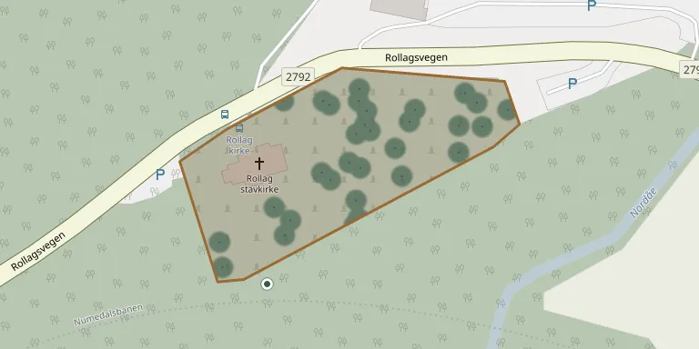
Flesberg Stavkirke lies in Buskerud, Norway.
Cemetery location
GPS coordinates: 60.020710° N, 9.273257° E Directions in Google Maps (opens in a new tab)
Memorials
Showing the first 50 of 77, A–Z by surname. Search all records
 Magne Aasen 1952 – 1954
 Ragna Bekjorden 1911 – 1983
- Gunhild Bekkjorden 1832 – 1909
- Ole Bekkjorden 1901 – 1977
 Gunhild Berg 1856 – 1912
- Jenny Berg 1911 – 1996
- Kittil Berg 1903 – 1983
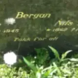 Eva Bergan 1861 – 1945
- Nils Bergan 1862 – 1959
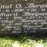 Knut Bergseid 1892 – 1956
- Marit Bergseid 1896 – 1990
- Olaf Bergseid 1921 – 2003
 Kjersti Bjørge 1892 – 1971
- Anne Bråten 1886 – 1946
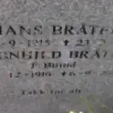 Hans Bråten 1915 – 2003
- Magnhild Bråten 1916 – 2007
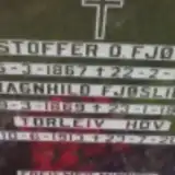 Kristoffer Fjøslien 1867 – 1950
- Ragnhild Fjøslien 1869 – 1960
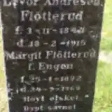 Margit Flötterud 1872 – 1969
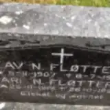 Kari Fløtterud 1915 – 1999
- Levor Fløtterud 1844 – 1915
- Olav Fløtterud 1907 – 1973
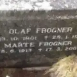 Marte Frogner 1913 – 2007
- Olaf Frogner 1901 – 1979
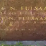 Narve Fulsaas 1918 – 1933
- Ola Fulsaas 1925 – 1991
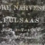 Tore Fulsaas 1844 – 1911
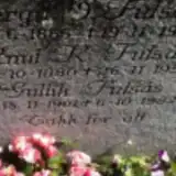 Bergit Fulsås 1866 – 1942
- Gullik Fulsås 1901 – 1982
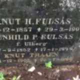 Gunhild Fulsås 1852 – 1949
- Knut Fulsås 1880 – 1959
- Knut Fulsås 1857 – 1900
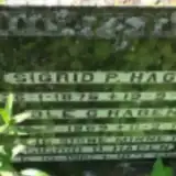 Ole Hagen 1869 – 1951
- Sigrid Hagen 1875 – 1944
- Sigrid Hagen 1916 – 1983
- Narve Hasen 1920 – 2012
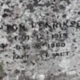 Anton Henriksen 1919 – 1960
- Tone Holtestaul 1902 – 1992
- Torleiv Hov 1913 – 2001
- Jøran Howlid 1926 – 2008
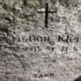 Kristian Kleiv 1915 – 2002
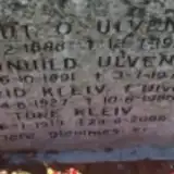 Sigrid Kleiv 1927 – 1986
- Tore Kleiv 1919 – 2006
 Anne Kongsjorden 1884 – 1960
 Gunulf Kongsjorden 1877 – 1960
- Nerid Kongsjorden 1873 – 1965
- Nevid Kongsjorden 1878 – 1965
- Ingeborg Mogan 1868 – 1952
 Helga Mogen 1850 – 1936
- Steinar Mogen 1885 – 1969
Looking for someone who isn't listed? Request a photo.
Nearby cemeteries
The closest other burial grounds listed on EveryStone.
- Rollag kirke Cemetery 50 m away · Rollag
- Lyngdal Cemetery 19 km away · Lyngdal
- Flesberg stavkirke 20 km away · Flesberg · 24 records
- Vatnås Churchyard 20 km away · Vatnås
- Prestfoss Cemetery 20 km away · Prestfoss
- Nore Churchyard 22 km away · Nore
- Nore Churchyard 22 km away · Nore · 70 records
- Hovin Cemetery 24 km away · Hovin
- Austbygde Kirke Cemetery 25 km away · Tinne
- Eggedal Kirke 26 km away · Eggedal
Contribute with the app
Our website works smoothly on both desktop and mobile devices. Prefer a native app? Check it out below.
- Capture clear headstone photos
- Save GPS grave locations automatically
- Transcribe inscriptions with our AI
- Suggest corrections to existing records
Common questions
How big is Flesberg Stavkirke?
Flesberg Stavkirke covers about 4,370 m² (1.1 acres), about half the size of a soccer field. It is the 20th smallest of the 79 cemeteries we list in Buskerud.
What is the oldest grave in this cemetery?
The oldest grave among the records we hold for Flesberg Stavkirke is that of Knut H Fulsås, who died in 1900 at the age of 43.