
17
documented records
≈ 170–340
approx. capacity (graves)
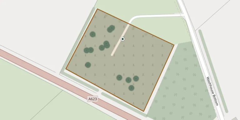
8,610 m²
cemetery area
Nov 5, 2026
last modified
About this cemetery
Tideswell Cemetery is managed by Tideswell Parish Council and sits by The Anchor in the Derbyshire Peak District village of Tideswell.
Cemetery location
GPS: 53.284664° N, 1.763973° W Directions in Google Maps (opens in a new tab)
Memorials
17 memorials, A–Z by last name.
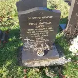 Joyce Baker 1923 – 2002
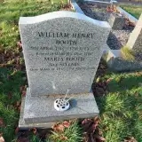 Maria Booth 1915 – 2008
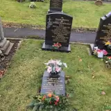 Janette Bradbury 1964 – 2023
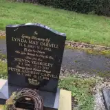 Lynda Carvill 1952 – 2012
- Peter Carvill 1950 – 2024
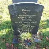 Brenda Frost 1933 – 1983
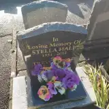 Stella Hall 1931 – 2012
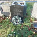 Glyn Harper 1955 – 1955
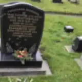 Alys Hattersley 1943 – 2011
- Elizabeth Hattersley ? – 2023
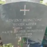 Alice Hunstone 1899 – 1984
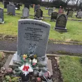 Gloria Kestle 1947 – 2018
- Stan Kestle 1952 – 2005
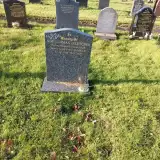 Noel Lomas-Fletcher 1926 – 2004
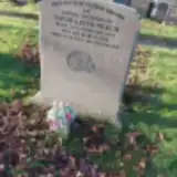 David Peach 1944 – 2010
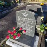 William Tricklebank 1941 – 2008
- Steven Yeardley 1981 – 2018
Looking for someone who isn't listed? Request a photo.
Nearby cemeteries
The closest other burial grounds listed on EveryStone.
- St John the Baptist Tideswell 900 m away · Tideswell · 19 records
- Litton Cemetery 2.2 km away · Litton · 3 records
- Methodist Churchyard 2.5 km away · Great Hucklow
- Wardlow Cemetery 2.9 km away · Wardlow
- St Margaret's Church, Wormhill 4.1 km away · Wormhill · 9 records
- Methodist Chapel Graveyard 4.9 km away · Bradwell
- St Barnabas Churchyard 4.9 km away · Bradwell · 43 records
- Bethlehem Churchyard 5.0 km away · Bradwell
- Charles King and Martyr Parish Churchyard 5.2 km away · Peak Forest · 2 records
- Methodist Church Graveyard, Peak Forest 5.3 km away · Peak Forest
Contribute with the app
Our website works smoothly on both desktop and mobile devices. Prefer a native app? Check it out below.
- Capture clear headstone photos
- Save GPS grave locations automatically
- Transcribe inscriptions with our AI
- Suggest corrections to existing records
Common questions
How big is Tideswell Parish Council Cemetery?
Tideswell Parish Council Cemetery covers about 8,610 m² (2.1 acres), about the size of a soccer field. It is the 78th largest of the 319 cemeteries we list in Derbyshire.
What is the oldest grave in this cemetery?
The oldest grave among the records we hold for Tideswell Parish Council Cemetery is that of Glyn Harper, who died on December 26, 1955 at the age of 0.