
18
documented records
≈ 420–850
approx. capacity (graves)
0.021 km²
cemetery area
Nov 5, 2026
last modified
About this cemetery
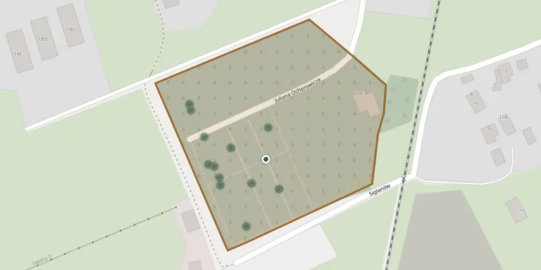
The municipal cemetery of Wisła lies in a valley surrounded by forests and peaks of the Silesian Beskids.
Cemetery location
GPS coordinates: 49.639603° N, 18.866371° E Directions in Google Maps (opens in a new tab)
Memorials
18 memorials, A–Z by surname.
 Adelajda Berger 1911 – 2013
 Józef Cieślar 1925 – 2006
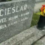 Maria Cieślar 1926 – 2014
- Paweł Cieślar 1921 – 2000
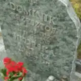 Krzysztof Dominik 1959 – 2016
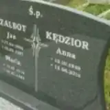 Anna Kędzior 1949 – 2014
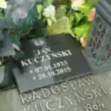 Jan Kuczyński 1933 – 2015
- Radosław Kuczyński 1984 – 2003
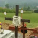 Gustaw Marek 1934 – 2016
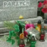 Emgelbert Parzych 1928 – 1988
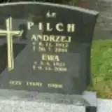 Andrzej Pilch 1912 – 2004
- Ewa Pilch 1917 – 2005
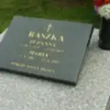 Maria Raszka 1902 – 1983
- Zuzanna Raszka 1924 – 2014
- Jan Szalbot 1906 – 1987
- Maria Szalbot 1914 – 1993
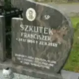 Franciszek Szkutek 1964 – 2005
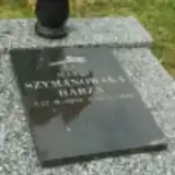 Maria Szymanowska-Habza 1929 – 2010
Looking for someone who isn't listed? Request a photo.
Nearby cemeteries
The closest other burial grounds listed on EveryStone.
- Na Groniczku Cemetery, Wisła 720 m away · Wisła · 19 records
- Wisła Parish Cemetery 2.5 km away · Wisła · 16 records
- Ustroń Parish Cemetery 5.9 km away · Ustroń
- Nýdek Cemetery 7.9 km away · Nýdek
- Nýdek Evangelical Cemetery 7.9 km away · Nýdek
- Walczakula Evangelical Cemetery 8.0 km away · Walczakula
- Istebna Old Cemetery 8.6 km away · Istebna · 1 record
- Istebna Parish Cemetery 8.6 km away · Istebna · 117 records
- Istebna Evangelical Cemetery 8.8 km away · Istebna
- Hrádek Evangelical Cemetery 9.4 km away · Hrádek
Contribute with the app
Our website works smoothly on both desktop and mobile devices. Prefer a native app? Check it out below.
- Capture clear headstone photos
- Save GPS grave locations automatically
- Transcribe inscriptions with our AI
- Suggest corrections to existing records
Common questions
How big is Wisła Municipal Cemetery?
Wisła Municipal Cemetery covers about 21,000 m² (5.2 acres), about the size of 3 soccer fields. It is the 166th largest of the 1,036 cemeteries we list in Silesian Voivodeship.
What is the oldest grave in this cemetery?
The oldest grave among the records we hold for Wisła Municipal Cemetery is that of Maria Raszka, who died on November 22, 1983 at the age of 81.