
Cemetery #15255
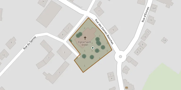
Saint-Didier Churchyard, Rhisnes
Local name: Église Saint-Didier de Rhisnes
Also known as Eglise Saint-Didier
36
documented records
≈ 65–130
approx. capacity (graves)
3,230 m²
cemetery area
Nov 5, 2026
last modified
About this cemetery
The churchyard belongs to the church of Saint-Didier in Rhisnes, part of La Bruyère. The church was burned in 1841 and rebuilt by the commune in 1841-1845, and its tower was destroyed in 1940 and restored in 1948. A heritage article describes the funerary heritage of Rhisnes through its epitaphs. Questions about the cemetery can be put by phone on +32 81 23 65 57.
Cemetery location
GPS: GPS coordinates: 50.504383° N, 4.803832° E Directions in Google Maps (opens in a new tab)
Memorials
36 memorials, A–Z by last name.
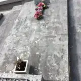 Aline Balau 1891 – 1960
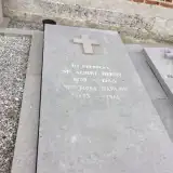 Albert Berny 1890 – 1945
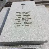 Leon Berwart 1881 – 1933
- Leon Berwart 1910 – 1947
- Victor Bilquin 1919 – 1995
 Adrienne Bonet 1818 – 1899
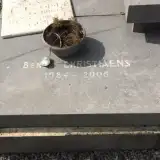 Benoit Christiaens 1984 – 2005
- Marcel Colinet 1919 – 2001
 Anette Defense 1870 – 1930
- Roman Defense 1870 – 1918
 Adrienne Delchambre 1863 – 1917
- Charles de Moriamé 1893 – 1980
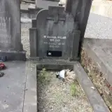 Angèle Denis 1892 – 1972
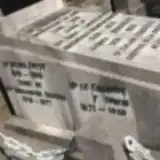 Bernardine Denison 1818 – 1877
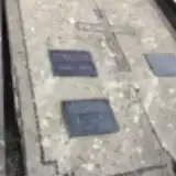 Marie Gruslin 1868 – 1950
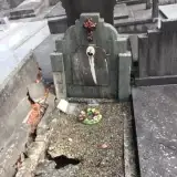 Fernand Guyaux 1913 – 1950
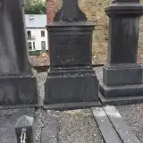 Lucien Guyaux 1852 – 1916
- Michel Guyot 1819 – 1900
- Elise Jeanfils 1885 – 1952
- Léon Masson 1863 – 1917
- Helene Moulard 1894 – 1989
- Maria Peukert 1947 – 2006
- Germaine Poncin 1897 – 1978
- Leopold Poncin 1862 – 1910
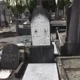 Richard Radelet 1954 – 1955
- Robert Radelet 1936 – 1948
- Roger Radelet 1920 – 1940
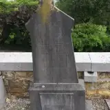 Fernand Rolain 1889 – 1925
- Gustave Rolain 1885 – 1948
- Leon Rolain 1883 – 1908
- Omar Rolain 1900 – 1918
- Therese Rolain 1855 – 1932
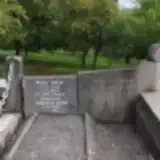 André Rolin 1888 – 1956
- Benoir Rolin 1929 – 2005
- Germaine Sablon 1922 – 2007
- Rosa Sablon 1893 – 1988
Looking for someone who isn't listed? Request a photo.
Nearby cemeteries
The closest other burial grounds listed on EveryStone.
- Rhisnes Cemetery 430 m away · La Bruyère
- Bovesse Cemetery 2.0 km away · La Bruyère · 28 records
- Emines Cemetery 2.8 km away · La Bruyère · 33 records
- Beau Vallon Cemetery 3.0 km away · Namur
- Suarlée Cemetery 3.1 km away · Suarlée
- Bricgniot Cemetery 3.2 km away · Namur
- Saint-Marc Cemetery 3.4 km away · Namur
- Eglise Saint-Denis 3.7 km away · La Bruyère · 21 records
- Saint-Denis Cemetery 3.9 km away · Saint-Denis
- Belgrade Cemetery 3.9 km away · Saint-Servais
Contribute with the app
Our website works smoothly on both desktop and mobile devices. Prefer a native app? Check it out below.
- Capture clear headstone photos
- Save GPS grave locations automatically
- Transcribe inscriptions with our AI
- Suggest corrections to existing records
Common questions
How big is Saint-Didier Churchyard, Rhisnes?
Saint-Didier Churchyard, Rhisnes covers about 3,230 m² (0.8 acres), about half the size of a soccer field. It is the 172nd largest of the 443 cemeteries we list in Namur.
What is the oldest grave in this cemetery?
The oldest grave among the records we hold for Saint-Didier Churchyard, Rhisnes is that of Bernardine Denison, who died in 1877 at the age of 59.