
178
documented records
≈ 610–1,200
approx. capacity (graves)
0.031 km²
cemetery area
Nov 5, 2026
last modified
About this cemetery
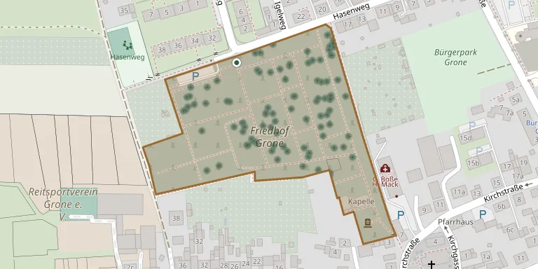
The cemetery is on Hasenweg in the Grone district of Göttingen and has been in use since 21 March 1843.
Cemetery location
GPS coordinates: 51.537251° N, 9.891510° E Directions in Google Maps (opens in a new tab)
Memorials
Showing the first 50 of 178, A–Z by surname. Search all records
 Irma Adams 1920 – 1997
- Wilhelm Adams 1912 – 2002
 Auguste Albrecht 1904 – 1992
 Sophie Backhau 1911 – 1994
- Alois Backhaus 1910 – 1981
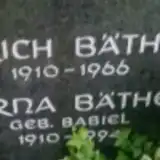 Erich Bäthe 1910 – 1966
- Erna Bäthe 1910 – 1994
 Reinhard Beuermann 1953 – 1984
 Erika Bliermann 1925 – 2009
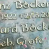 Heinz Böcker 1922 – 2009
- Irmgard Böcker 1922 – 2010
- Hermann Böning 1876 – 1965
- Minna Böning 1881 – 1967
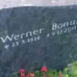 Werner Bonus 1914 – 2011
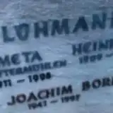 Hans Borisch 1941 – 1997
 Anna Danne 1895 – 1993
- Willy Danne 1897 – 1962
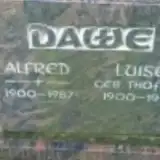 Alfred Daue 1900 – 1987
- Luise Dawe 1900 – 1990
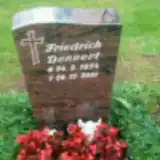 Friedrich Dennert 1924 – 2001
 Georg Dohrmann 1888 – 1957
- Hermine Dohrmann 1897 – 1993
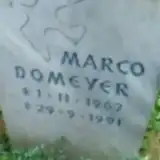 Marco Domeyer 1967 – 1991
 Christfried Doring ? – 1912
- Charlotte Döring 1910 – 1994
 Max Drager 1913 – 1984
- Gila Dräger 1917 – 2010
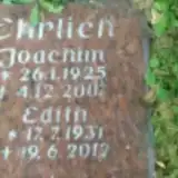 Edith Ehrlich 1931 – 2012
- Joachim Ehrlich 1925 – 2007
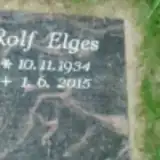 Rolf Elges 1934 – 2015
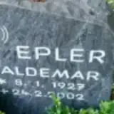 Waldemar Epler 1927 – 2002
 Hildegard Faustin 1928 – 2011
- Paul Faustin 1921 – 2008
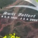 Rudi Fellert 1931 – 2005
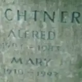 Alfred Fichtner 1904 – 1983
- Mary Fichtner 1910 – 1997
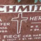 Emilie Fiege 1907 – 1994
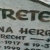 Hermann Freter 1914 – 1995
- Minna Freter 1917 – 1999
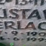 Gustav Gerlach 1904 – 1992
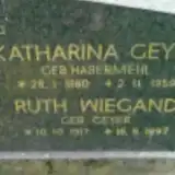 Katharina Geyer 1880 – 1959
 Klaus Giesler 1937 – 1995
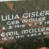 Lilia Gisler 1918 – 1999
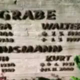 Marga Grabe 1904 – 1968
- Walter Grabe 1898 – 1997
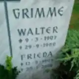 Frieda Grimme 1909 – 2000
- Walter Grimme 1907 – 1980
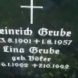 Heinrich Grube 1901 – 1957
- Lina Grube 1902 – 1992
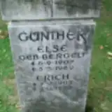 Else Günther 1907 – 1989
Looking for someone who isn't listed? Request a photo.
Nearby cemeteries
The closest other burial grounds listed on EveryStone.
- Göttingen Town Cemetery 1.4 km away · Göttingen · 539 records
- Göttingen Cemetery of Honour 1.4 km away · Göttingen
- Göttingen Jewish Cemetery 1.5 km away · Göttingen
- Hetjershausen Cemetery 2.1 km away · Göttingen
- Groß Ellershausen Cemetery 2.5 km away · Göttingen
- Elliehausen Cemetery 2.5 km away · Göttingen · 40 records
- Holtensen Cemetery 2.7 km away · Göttingen
- Holtensen War Graves 2.7 km away · Holtensen
- St. Bartholomew Cemetery, Göttingen 2.8 km away · Göttingen · 4 records
- Albani Cemetery, Göttingen 3.5 km away · Göttingen · 5 records
Contribute with the app
Our website works smoothly on both desktop and mobile devices. Prefer a native app? Check it out below.
- Capture clear headstone photos
- Save GPS grave locations automatically
- Transcribe inscriptions with our AI
- Suggest corrections to existing records
Common questions
How big is Grone Cemetery?
Grone Cemetery covers about 31,000 m² (7.6 acres), about the size of 4 soccer fields. It is the 242nd largest of the 3,526 cemeteries we list in Lower Saxony.
What is the oldest grave in this cemetery?
The oldest grave among the records we hold for Grone Cemetery is that of Christfried Doring, who died on April 18, 1912.