
153
documented records
≈ 160–230
approx. capacity (graves)
5,270 m²
cemetery area
Nov 5, 2026
last modified
About this cemetery
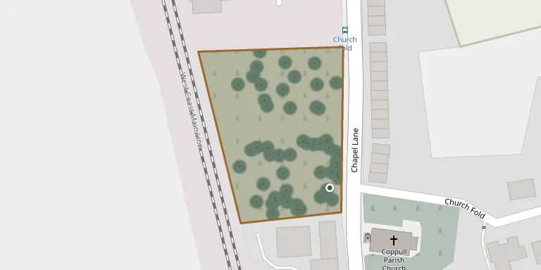
The extension to Coppull's parish churchyard lies just across Chapel Lane from the church. It is listed by the Commonwealth War Graves Commission. Visitors can read more on cwgc.org.
Cemetery location
GPS coordinates: 53.617020° N, 2.655542° W Directions in Google Maps (opens in a new tab)
Memorials
Showing the first 50 of 153, A–Z by surname. Search all records
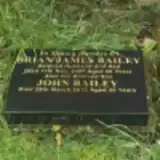 Brian Bailey ? – 2007
- John Bailey 1966 – 2012
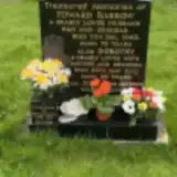 Dorothy Barrow 1915 – 2001
- Edward Barrow ? – 1983
- Norman Barrow 1948 – 2020
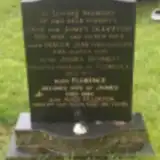 James Bennett ? – 1977
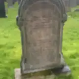 Esther Bolton ? – 1903
- Mary Bolton ? – 1943
- Moses Bolton 1867 – 1943
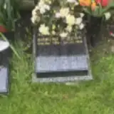 Robert Bolton 1936 – 2022
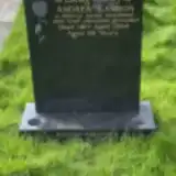 Andrew Cannon 1935 – 1994
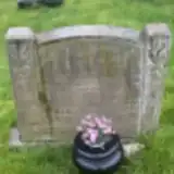 James Crowther ? – 1917
- James Crowther ? – 1940
- Margaret Crowther 1900 – 1965
- Sarah Crowther ? – 1942
 Seth Cubbin 1896 – 1971
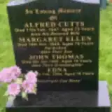 Alfred Cutts ? – 1947
- Edna Cutts 1926 – 2004
- John Cutts ? – 1980
- Margaret Cutts ? – 1949
 Ann Darbyshire 1886 – 1965
- Elizabeth Darbyshire ? – 1916
- Jane Darbyshire ? – 1915
- Peter Darbyshire ? – 1937
- Sarah Darbyshire ? – 1973
 Emma Devine 1891 – 1961
- Thomas Devine ? – 1952
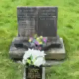 Annie Dyke 1912 – 2003
- Edna Dyke ? – 1968
- Wilfred Dyke ? – 1985
 Margaret Eastham ? – 1939
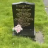 Annie Foster ? – 1942
- Georgina Foster ? – 1935
- John Foster 1866 – 1927
- May Foster ? – 1979
 Jane Frith ? – 1937
- John Frith 1864 – 1953
- Mary Gibbin ? – 1971
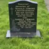 Isabella Gibbons 1913 – 1987
- Ronald Gibbons ? – 1984
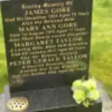 James Gore ? – 1954
- Mary Gore ? – 1972
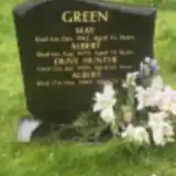 Albert Green ? – 1979
 James Green 1931 – 2007
- Mary Green 1937 – 2014
- May Green ? – 1943
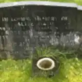 Alice Hall ? – 1882
- Robert Hall 1881 – 1955
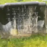 Eliza Hallam 1896 – 1957
- Thomas Hallam ? – 1961
Looking for someone who isn't listed? Request a photo.
Nearby cemeteries
The closest other burial grounds listed on EveryStone.
- Coppull Parish Church 20 m away · Coppull · 10 records
- St Oswald's Roman Catholic Church, Coppull 1.2 km away · Coppull · 43 records
- Christ Church 2.6 km away · Charnock Richard
- St Gregory, Weld Bank Church Cemetery 2.9 km away · Chorley
- Adlington Cemetery 3.2 km away · Adlington · 10 records
- St Wilfrid Churchyard 3.4 km away · Standish · 124 records
- St Joseph's Anderton 4.1 km away · Adlington
- St. Joseph's Roman Catholic Church Cemetery 4.1 km away · Wrightington
- St James the Great 4.1 km away · Wrightington
- Chorley Cemetery 4.3 km away · Chorley · 178 records
Contribute with the app
Our website works smoothly on both desktop and mobile devices. Prefer a native app? Check it out below.
- Capture clear headstone photos
- Save GPS grave locations automatically
- Transcribe inscriptions with our AI
- Suggest corrections to existing records
Common questions
How big is Coppull Parish Churchyard Extension?
Coppull Parish Churchyard Extension covers about 5,270 m² (1.3 acres), about half the size of a soccer field. It is the 130th largest of the 298 cemeteries we list in Lancashire.
What is the oldest grave in this cemetery?
The oldest grave among the records we hold for Coppull Parish Churchyard Extension is that of Alice Hall, who died on May 15, 1882.