
73
documented records
≈ 290–580
approx. capacity (graves)
0.014 km²
cemetery area
Nov 5, 2026
last modified
About this cemetery
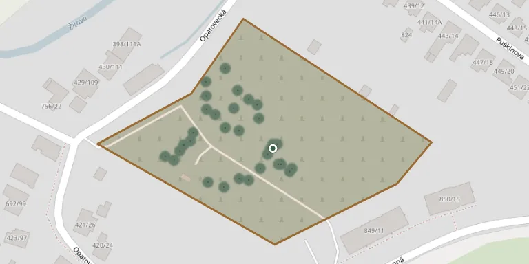
This cemetery is in the Opatovce part of Žitavany in the Nitra region, now part of Zlaté Moravce. Žitavany was formed from the earlier villages of Knažice and Opatovce nad Žitavou. The cemetery can be found online through billiongraves.com.
Cemetery location
GPS coordinates: 48.401321° N, 18.423187° E Directions in Google Maps (opens in a new tab)
Memorials
Showing the first 50 of 73, A–Z by surname. Search all records
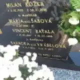 Vincent Baťala 1897 – 1978
- Barbora Baťalová 1894 – 1972
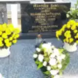 Helena Baťalová 1928 – 2011
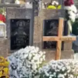 Michal Benček 1902 – 1975
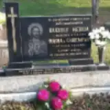 Mária Chrenová 1906 – 1992
 Karol Ferenc 1923 – 1990
 Flavián Furda 1893 – 1971
- Kamil Furda 1925 – 1975
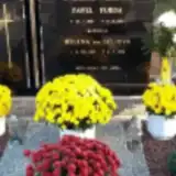 Pavel Furda 1927 – 2002
 Vital Furda 1898 – 1938
- Mária Furdová 1903 – 1960
- Paulína Furdová 1898 – 1981
 Pavlína Furdová 1893 – 1980
 Miroslav Gažo 1953 – 1990
- Štefan Gažo 1923 – 1988
- Helena Gažová 1915 – 1991
- Helena Géciová 1928 – 1998
 Jozef Gigel 1927 – 1985
- Elenka Gigelová 1903 – 1970
- Mária Gigelová 1930 – 2012
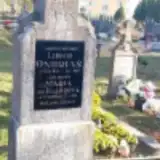 Mária Hasprová 1876 – 1932
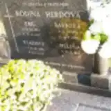 Emil Herda 1925 – 1985
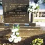 Jozef Herda 1943 – 1987
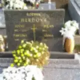 Jozef Herda 1912 – 1979
- Rudolf Herda 1903 – 1989
- Vladimír Herda 1952 – 2000
- Barbora Herdová 1930 – 2014
- Pavlína Herdová 1922 – 1995
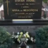 Štefan Ivanič 1923 – 2006
- Anna Ivaničová 1928 – 2014
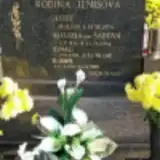 Ignác Jenis 1928 – 2010
- Jozef Jenis 1951 – 1974
- Vladimír Jenis 1956 – 2015
- Alojzia Jenisová 1931 – 1984
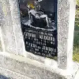 Izidor Klučiar 1892 – 1946
- Matilda Klučiarová 1900 – 1978
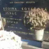 Ignác Kováč 1918 – 1982
 Ján Kováč 1902 – 1971
 Karol Kováč 1914 – 1990
- Štefan Kováč 1873 – 1961
- Helena Kováčová 1881 – 1961
- Helena Kováčová 1912 – 1995
- Mária Kováčová 1909 – 1972
- Paulína Kováčová 1924 – 1991
 Jozef Mášik 1909 – 1969
- Ondrej Mášik 1939 – 2002
- Helena Mášiková 1907 – 1985
- Mária Mášiková 1941 – 2002
 Jan Obert 1919 – 1990
- Irena Obertová 1919 – 2008
Looking for someone who isn't listed? Request a photo.
Nearby cemeteries
The closest other burial grounds listed on EveryStone.
- Žitavany/Kňažice 640 m away · Zlaté Moravce · 28 records
- Zlaté Moravce Jewish Cemetery 1.7 km away · Zlaté Moravce
- Topoľčianky 2.4 km away · Topoľčianky
- Zlaté Moravce Municipal Cemetery 2.8 km away · Zlaté Moravce · 642 records
- Zlaté Moravce Jewish Cemetery 3.9 km away · Zlaté Moravce
- Obyce Cemetery 3.9 km away · Obyce · 464 records
- Chyzerovce Cemetery 4.2 km away · Zlaté Moravce · 5 records
- Prílepy Cemetery 4.4 km away · Prílepy
- Hosťovce Cemetery 5.2 km away · Hosťovce
- Čierne Kľačany 5.5 km away · Čierne Kľačany
Contribute with the app
Our website works smoothly on both desktop and mobile devices. Prefer a native app? Check it out below.
- Capture clear headstone photos
- Save GPS grave locations automatically
- Transcribe inscriptions with our AI
- Suggest corrections to existing records
Common questions
How big is Žitavany / Opatovce?
Žitavany / Opatovce covers about 14,000 m² (3.6 acres), about the size of 2 soccer fields. It is the 103rd largest of the 467 cemeteries we list in Region of Nitra.
What is the oldest grave in this cemetery?
The oldest grave among the records we hold for Žitavany / Opatovce is that of Mária Hasprová, who died on February 25, 1932 at the age of 55.