
347
documented records
≈ 720–1,400
approx. capacity (graves)
0.036 km²
cemetery area
Nov 6, 2026
last modified
About this cemetery
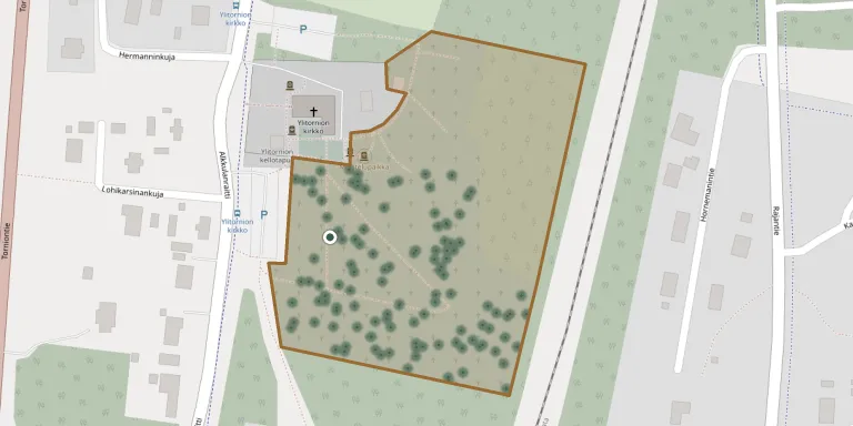
The parish of Ylitornio has four separate cemetery areas, each of a different type. The old cemetery was drawn up as a map between 1928 and 1934.
Cemetery location
GPS coordinates: 66.313553° N, 23.670254° E Directions in Google Maps (opens in a new tab)
Memorials
Showing the first 50 of 347, A–Z by surname. Search all records
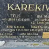 Ari Birger 1946 – 2021
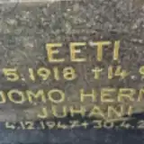 Tuomo Eeti 1918 – 1991
 Anna Erkheikki 1891 – 1966
- Pekka Erkheikki 1895 – 1992
 Arkki Granath 1864 – 1921
- Ebba Granath 1899 – 1945
- Eero Granath 1934 – 2010
- Entti Granath 1901 – 1901
- Isak Granath 1889 – 1956
 Erkki Häkkinen 1933 – 2021
 Alfhilda Harri 1891 – 1974
- Aune Harri 1920 – 1994
- Otto Harri 1916 – 1987
 Vilma Hernesaho 1923 – 2004
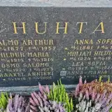 Anna Huhta 1881 – 1970
- Anna-Maria Huhta ? – 2005
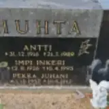 Antti Huhta 1916 – 1989
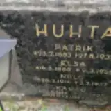 Elsa Huhta 1888 – 1961
- Helvi Huhta 1963 – 2025
- Hildur Huhta 1914 – 1914
- Impi Huhta 1926 – 1995
- Jouko Huhta 1919 – 1991
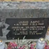 Juho Huhta 1889 – 1969
- Kauko Huhta 1916 – 1927
- Lea Huhta 1917 – 1926
- Marija Huhta 1897 – 1982
- Mirjam Huhta 1924 – 1924
- Niilo Huhta 1914 – 1927
- Niilo Huhta 1925 – 2000
- Osmo Huhta 1920 – 1923
- Patrik Huhta 1883 – 1932
- Pekka Huhta 1957 – 2012
- Raakel Huhta 1916 – 2005
- Seija Huhta 1968 – 2025
- Väinö Huhta 1953 – 2019
 Antti Huhtanen 1899 – 1986
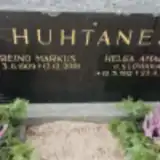 Helga Huhtanen 1912 – 1978
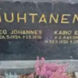 Kaino Huhtanen 1926 – 1997
- Leo Huhtanen 1924 – 1976
- Reino Huhtanen 1909 – 2001
- Arthur Huhta Salmo 1877 – 1952
- Lydia Huhtianen 1901 – 2002
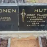 Aina Huttula 1882 – 1963
- Eeva Huttula 1923 – 1925
- Henrik Huttula 1915 – 1921
- Josef Huttula 1878 – 1952
- Kaariina Huttula 1913 – 1916
 Liisa Huttula 1923 – 1943
- Nanni Huttula 1902 – 1974
 Sinikka Huttula 1941 – 1977
Looking for someone who isn't listed? Request a photo.
Nearby cemeteries
The closest other burial grounds listed on EveryStone.
- Ylitornio Heroes' Cemetery 70 m away · Ylitornio · 2 records
- Övertorneå Churchyard 8.6 km away · Övertorneå · 9 records
- Övertorneå Woodland Cemetery 11 km away · Haapakylä
- Hietaniemi Churchyard 11 km away · Norrbotten · 26 records
- Karungi Churchyard 33 km away · Karungi · 4 records
- Karunki Huruvaara Cemetery 34 km away · Tornio · 5 records
- Karunki Cemetery 34 km away · Lapland
- Grelsby Cemetery 37 km away · Överkalix
- Bränna Churchyard 37 km away · Överkalix · 2 records
- Svanstein Churchyard 39 km away · Svanstein
Contribute with the app
Our website works smoothly on both desktop and mobile devices. Prefer a native app? Check it out below.
- Capture clear headstone photos
- Save GPS grave locations automatically
- Transcribe inscriptions with our AI
- Suggest corrections to existing records
Common questions
How big is Ylitornio Cemetery?
Ylitornio Cemetery covers about 36,000 m² (8.9 acres), about the size of 5 soccer fields. It is the 10th largest of the 79 cemeteries we list in Lapland.
What is the oldest grave in this cemetery?
The oldest grave among the records we hold for Ylitornio Cemetery is that of Kristina Lantto, who died on August 26, 1901 at the age of 47.