
Cemetery #171579
Christkindl Cemetery
Local name: Friedhof Christkindl
Also known as Friedhof mit Mauer und Friedhofskapelle
86
documented records
≈ 86–130
approx. capacity (graves)
2,050 m²
cemetery area
Nov 6, 2026
last modified
About this cemetery
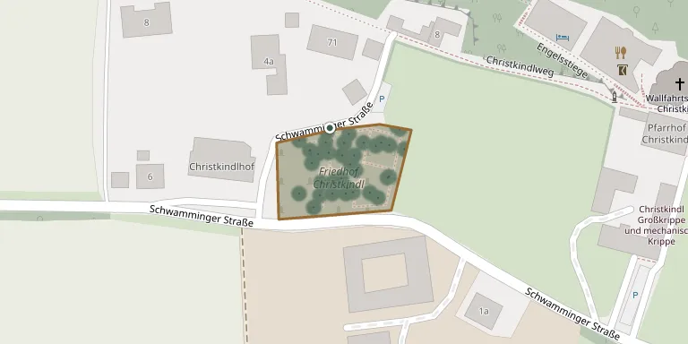
The cemetery lies west of the pilgrimage church of Christkindl, near Steyr in Upper Austria, and was laid out in 1784. It is managed by the parish of Steyr-Christkindl.
Cemetery location
GPS coordinates: 48.038110° N, 14.385390° E Directions in Google Maps (opens in a new tab)
Memorials
Showing the first 50 of 86, A–Z by surname. Search all records
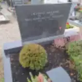 Franz Ahammer 1916 – 1978
- Margarethe Ahammer 1920 – 2005
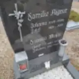 Josef Aigner 1921 – 2015
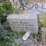 Ernst Andesner 1906 – 1976
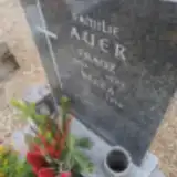 Berta Auer 1923 – 2018
- Franz Auer 1894 – 1969
 Berta Bloderer 1916 – 1996
- Johann Bloderer 1912 – 1996
 Alfred Brunner 1941 – 2023
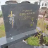 Josef Brunner 1934 – 2022
- Maria Brunner 1939 – 2017
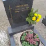 Josef Ehrenhuber 1925 – 1982
- Maria Ehrenhuber 1931 – 2007
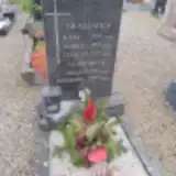 Karl Grassauer 1902 – 1931
- Leopold Grassauer 1874 – 1967
- Maria Grassauer 1879 – 1954
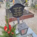 Ingrid Habringer 1954 – 2008
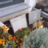 Theresia Hencke 1953 – 2023
 Günter Himmelbauer 1939 – 2003
- Heidi Himmelbauer 1941 – 2022
 Maria Jegel 1927 – 2018
- Peter Jegel 1919 – 1988
 Franz Jost 1917 – 1945
 Hildegard Kerbl 1933 – 2013
- Josef Kerbl 1930 – 2010
- Franziska Kirchner 1927 – 2020
 Andrea Kötterl 1969 – 2014
 Monika Kranzl 1943 – 2014
 Wolfgang Kronberger 1932 – 2022
 Edmund Kubicka 1932 – 2002
- Hildegard Kubicka 1935 – 2011
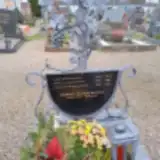 Maria Lanzerstorfer 1926 – 1990
- Leopold Lederbauer 1902 – 1968
- Maria Lederbauer 1908 – 1969
- Josef Leimhofer 1908 – 1983
- Katharina Leimhofer 1903 – 1992
- Elisabeth Mader 1938 – 2021
- Karl Mader 1931 – 2014
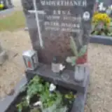 Erna Maderthaner 1931 – 2013
- Gisela Mayr 1945 – 1969
- Maria Mayr 1923 – 1950
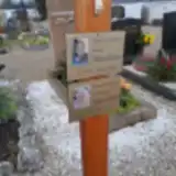 Anna Mitterschiffthaler 1928 – 2023
 Anna Josefa Mitterschiffthaler 1926 – 2015
- Hildegard Mitterschiffthaler 1938 – 2024
- Karl Mitterschiffthaler 1918 – 1995
- Karl Mitterschiffthaler 1905 – 1993
- Magdalena Mitterschiffthaler 1898 – 1978
- Mathias Nosrak 1884 – 1974
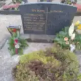 Georg Osternacher 1906 – 1967
- Maria Osternacher 1893 – 1970
Looking for someone who isn't listed? Request a photo.
Nearby cemeteries
The closest other burial grounds listed on EveryStone.
- Garsten Cemetery 2.1 km away · Garsten Nord
- Steyr Jewish Cemetery 2.6 km away · Steyr · 6 records
- Steyr Tabor Earth Cemetery 2.7 km away · Steyr · 434 records
- Steyr Tabor Urn Cemetery 2.9 km away · Steyr · 152 records
- St. Ulrich bei Steyr Cemetery 3.3 km away · Sankt Ulrich bei Steyr · 86 records
- Steyr-Gleink Cemetery 4.2 km away · Steyr · 154 records
- Wolfern Cemetery 4.9 km away · Wolfern
- Aschach an der Steyr 5.0 km away · Aschach an der Steyr · 73 records
- Sierning Cemetery 6.0 km away · Sierning · 90 records
- Dietach Cemetery 6.1 km away · Dietach
Contribute with the app
Our website works smoothly on both desktop and mobile devices. Prefer a native app? Check it out below.
- Capture clear headstone photos
- Save GPS grave locations automatically
- Transcribe inscriptions with our AI
- Suggest corrections to existing records
Common questions
How big is Christkindl Cemetery?
Christkindl Cemetery covers about 2,050 m² (0.5 acres), about the size of 8 tennis courts. It is the 171st smallest of the 489 cemeteries we list in Upper Austria.
What is the oldest grave in this cemetery?
The oldest grave among the records we hold for Christkindl Cemetery is that of Karl Grassauer, who died in 1931 at the age of 29.