
Cemetery #171615
Kasten bei Böheimkirchen
Also known as Pfarrkirche Kasten bei Böheimkirchen
69
documented records
≈ 69–110
approx. capacity (graves)
2,740 m²
cemetery area
Nov 6, 2026
last modified
About this cemetery
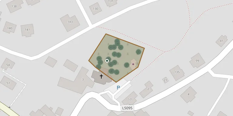
The cemetery surrounds the parish church of Kasten bei Böheimkirchen, which stands on slightly raised ground northwest of the village centre and is enclosed by the churchyard wall. The church was documented in 1248 as a branch of the parish church of Böheimkirchen, and its own parish was founded in 1265. The parish was incorporated into the St. Pölten abbey until 1784.
Cemetery location
GPS coordinates: 48.154298° N, 15.780340° E Directions in Google Maps (opens in a new tab)
Memorials
Showing the first 50 of 69, A–Z by surname. Search all records
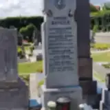 Alois Berger 1887 – 1975
- Anton Berger 1921 – 1943
- Antonia Berger 1891 – 1968
- Josef Berger 1923 – 2012
- Leopold Berger 1895 – 1915
- Stefanie Berger 1925 – 2019
- Berger ? – 1920
- Berger ? – 1931
 Amalia Eigenbauer 1891 – 1973
- Gerhard Eigenbauer 1960 – 1981
- Johann Eigenbauer 1880 – 1946
- Johann Eigenbauer 1923 – 2007
- Maria Eigenbauer 1919 – 1993
 Anton Gnant 1897 – 1967
- Robert Gnant 1946 – 1967
- Rosa Gnant 1905 – 1997
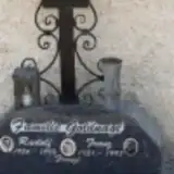 Franz Goldnagl 1931 – 1997
- Rudolf Goldnagl 1956 – 1993
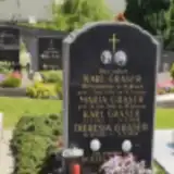 Karl Graser ? – 1938
- Karl Graser 1912 – 1989
- Maria Graser ? – 1968
- Theresia Graser 1923 – 2009
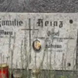 Johann Heinz 1925 – 2012
- Josef Heinz 1884 – 1971
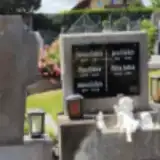 Anna Hollick 1875 – 1922
- Johann Hollick 1871 – 1950
- Josef Hollick 1901 – 1949
- Lorenz Hollick 1847 – 1911
- Maria Hollick 1896 – 1992
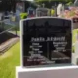 Alois Kitzbrecht 1917 – 1945
- Aloisia Kitzbrecht 1925 – 2021
- Franz Kitzbrecht 1926 – 2014
- Johann Kitzbrecht 1910 – 1942
- Johann Kitzbrecht 1876 – 1961
- Magdalena Kitzbrecht 1886 – 1947
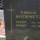 Josef Kotrnetz 1951 – 2004
- Josef Kotrnetz 1923 – 1976
 Karl Kritsch 1920 – 2002
- Ludmilla Kritsch 1892 – 1975
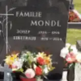 Edeltraud Mondl 1938 – 2004
- Josef Mondl 1934 – 1994
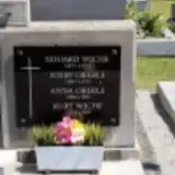 Anna Oberle 1906 – 1995
- Josef Oberle 1897 – 1975
 Alois Petz 1921 – 1989
- Barbara Petz 1919 – 1989
 Johanna Rehak 1913 – 1982
- Anna Ritzbrecht 1918 – 1965
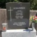 Anna Schachner 1911 – 1984
- Leopold Schachner 1912 – 1985
- Leopoldine Schachner 1952 – 2020
Looking for someone who isn't listed? Request a photo.
Nearby cemeteries
The closest other burial grounds listed on EveryStone.
- Stössing Cemetery 3.9 km away · Stössing · 50 records
- Kirchstetten Cemetery 4.2 km away · Kirchstetten
- St. Vitus Catholic Filial Church and Former Cemetery, Kirchstetten 4.3 km away · Kirchstetten
- Hochstrass Monastery Cemetery 4.4 km away · Hochstrass
- Böheimkirchen New Cemetery 4.7 km away · Böheimkirchen
- Böheimkirchen Cemetery 4.9 km away · Böheimkirchen · 42 records
- Ollersbach Cemetery 5.3 km away · Neulengbach · 68 records
- Totzenbach Cemetery 5.9 km away · Totzenbach
- Michelbach Markt Cemetery 6.5 km away · Michelbach · 77 records
- Wald Cemetery, Pyhra 6.8 km away · Pyhra · 27 records
Contribute with the app
Our website works smoothly on both desktop and mobile devices. Prefer a native app? Check it out below.
- Capture clear headstone photos
- Save GPS grave locations automatically
- Transcribe inscriptions with our AI
- Suggest corrections to existing records
Common questions
How big is Kasten bei Böheimkirchen?
Kasten bei Böheimkirchen covers about 2,740 m² (0.7 acres), about the size of 10 tennis courts. It is the 539th largest of the 1,114 cemeteries we list in Lower Austria.
What is the oldest grave in this cemetery?
The oldest grave among the records we hold for Kasten bei Böheimkirchen is that of Lorenz Hollick, who died in 1911 at the age of 64.