
56
documented records
≈ 76–150
approx. capacity (graves)
3,780 m²
cemetery area
Nov 5, 2026
last modified
About this cemetery
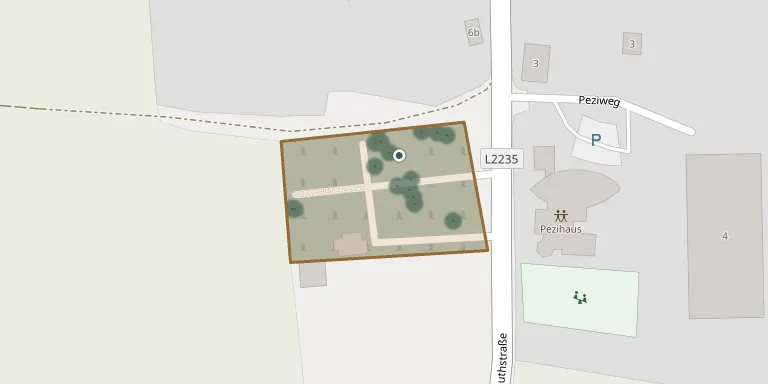
Rappoltenkirchen Cemetery is the cemetery of the village of Rappoltenkirchen, which belongs to the market town of Sieghartskirchen in Lower Austria.
Cemetery location
GPS coordinates: 48.232519° N, 16.014505° E Directions in Google Maps (opens in a new tab)
Memorials
Showing the first 50 of 56, A–Z by surname. Search all records
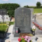 Anna Allmayer 1910 – 1995
- Antonia Allmayer 1915 – 1997
- Cäcilia Allmayer 1874 – 1956
- Georg Allmayer 1914 – 1945
- Josef Allmayer 1874 – 1943
- Siegmund Allmayer 1834 – 1919
- Theresia Allmayer 1836 – 1890
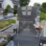 Maria Berger 1899 – 1980
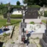 Johann Endres 1930 – 1985
- Maria Endres 1928 – 1958
- Maria Endres 1927 – 1997
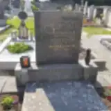 Albin Fisch 1901 – 1975
- Maria Fisch 1908 – 1995
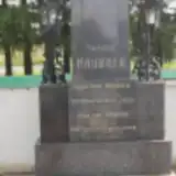 Carl Haubner 1878 – 1941
- Karl Haubner 1851 – 1911
- Maria Haubner 1850 – 1916
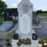 Elisabeth Hofrichter 1900 – 1968
- Johann Hofrichter 1899 – 1978
- Maria Hofrichter 1930 – 2017
- Richard Hofrichter 1936 – 1958
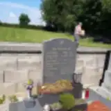 Ernst Ille 1931 – 2016
- Gerta Ille 1934 – 2019
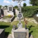 Magdalena Janisch 1893 – 1966
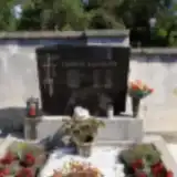 Brigitta Kainrath 1947 – 1947
- Franz Kainrath 1914 – 2007
- Hedwig Kainrath 1922 – 1986
- Maria Kainrath 1922 – 1970
- Maria Kainrath 1918 – 1947
- Maria Knodler 1877 – 1962
- Karl Knödler 1872 – 1936
- Agnes Kornherr 1925 – 1988
- Franz Kornherr 1926 – 2012
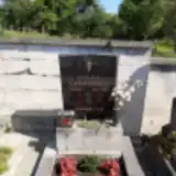 Franz Kurzbauer 1926 – 1988
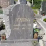 Josefa Löffler 1936 – 2000
- Josef Lohner 1932 – 2013
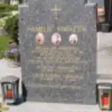 Gustav Mrazek 1882 – 1962
- Leopoldine Mrazek 1888 – 1968
- Wilhelm Mrazek 1917 – 1940
 Alois Reisinger 1907 – 1940
- Josef Reisinger 1936 – 1997
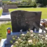 Friedrich Schauer 1950 – 2009
- Gisela Schauer ? – 2009
- Johann Schauer ? – 1996
- Aloisia Schubert 1919 – 1993
- Aloisia Schubert 1876 – 1963
- Franz Schubert 1905 – 1945
- Josef Schubert 1879 – 1953
- Theresie Schubert 1907 – 1971
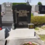 Franz Schütz ? – 1876
- Josefa Spärk 1910 – 1977
Looking for someone who isn't listed? Request a photo.
Nearby cemeteries
The closest other burial grounds listed on EveryStone.
- Kogl Cemetery 1.9 km away · Sieghartskirchen · 30 records
- Sieghartskirchen Cemetery 2.6 km away · Sieghartskirchen · 103 records
- Abstetten Cemetery 4.0 km away · Gollarn · 6 records
- Johannesberg Cemetery 4.6 km away · Asperhofen · 52 records
- Ried am Riederberg Cemetery 4.9 km away · Ried am Riederberg
- Furth Cemetery 5.6 km away · Stein
- Baumgarten am Tullnerfeld Churchyard 5.8 km away · Baumgarten am Tullnerfeld
- Judenau Cemetery 6.0 km away · Judenau-Baumgarten · 29 records
- Ollern Cemetery 6.0 km away · Ollern
- Eichgraben Cemetery 6.1 km away · Eichgraben · 185 records
Contribute with the app
Our website works smoothly on both desktop and mobile devices. Prefer a native app? Check it out below.
- Capture clear headstone photos
- Save GPS grave locations automatically
- Transcribe inscriptions with our AI
- Suggest corrections to existing records
Common questions
How big is Rappoltenkirchen Cemetery?
Rappoltenkirchen Cemetery covers about 3,780 m² (0.9 acres), about half the size of a soccer field. It is the 375th largest of the 1,114 cemeteries we list in Lower Austria.
What is the oldest grave in this cemetery?
The oldest grave among the records we hold for Rappoltenkirchen Cemetery is that of Franz Schütz, who died on May 31, 1876.