
95
documented records
≈ 95–150
approx. capacity (graves)
3,780 m²
cemetery area
Nov 5, 2026
last modified
About this cemetery
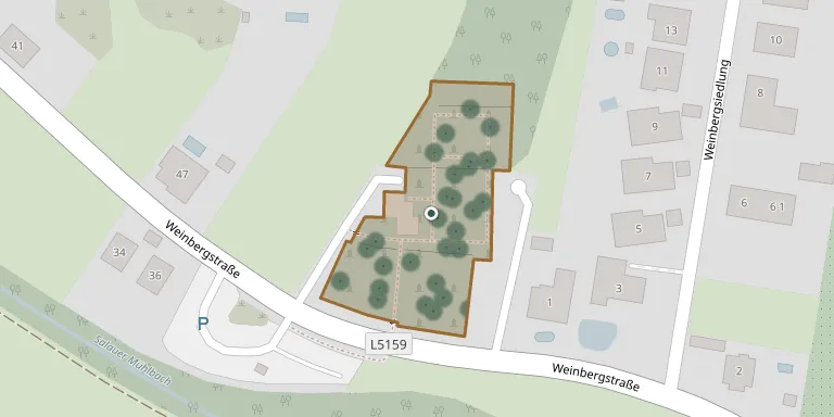
The municipal cemetery of Prinzersdorf lies on a slope near the Mühlbach and was built in 1963 together with its mortuary hall. Growing demand for urn graves led to an extension, documented as the Waldfriedhof Prinzersdorf and credited to the architects Ernst Beneder and Anja Fischer. The market municipality of Prinzersdorf administers it under its own cemetery regulations.
Cemetery location
GPS coordinates: 48.197896° N, 15.520871° E Directions in Google Maps (opens in a new tab)
Memorials
Showing the first 50 of 95, A–Z by surname. Search all records
 Barbara Bauer 1909 – 2001
- Gertraud Bauer 1932 – 2022
- Helmut Bauer 1930 – 2008
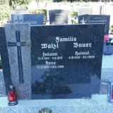 Helmut Bauer 1959 – 2022
- Leopold Bauer 1906 – 1992
 Josefine Bleyer 1908 – 1989
- Karl Bleyer 1932 – 1989
- Leopold Bleyer 1906 – 1987
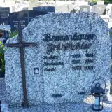 Hubert Brosenbauer 1907 – 1981
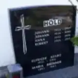 Maria Brünner 1891 – 1945
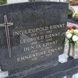 Dunja Ernst 1950 – 2006
- Ernestine Ernst 1924 – 2013
- Leopold Ernst 1915 – 1967
- Leopold Ernst 1948 – 2002
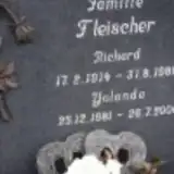 Richard Fleischer 1914 – 1988
- Yolanda Fleischer 1981 – 2006
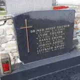 Hanna Frank 1909 – 1974
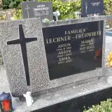 Erika Frühwirth 1940 – 2007
- Maria Frühwirth 1913 – 1968
- Michael Frühwirth 1921 – 1992
 Josef Fuchs 1947 – 2001
 Margit Gartner 1976 – 2022
 Josef Götzinger 1903 – 1993
- Kurt Götzinger 1937 – 1956
- Rosa Götzinger 1909 – 1989
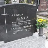 Josef Grabner 1928 – 2016
- Leopoldine Grabner 1926 – 2014
- Ewald Grünbichler 1973 – 2003
- Franziska Grünbichler 1917 – 1996
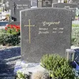 Franz Gugerel 1911 – 1996
- Josefa Gugerel 1919 – 2011
 Maria Hajek 1910 – 1991
- Anna Höld 1933 – 2006
- Johann Höld 1954 – 2000
- Johann Höld 1926 – 1989
- Robert Höld 1956 – 2015
- Franz Hora 1935 – 1995
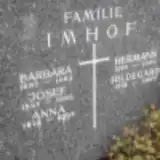 Anna Imhof 1919 – 2007
- Barbara Imhof 1887 – 1962
- Hermann Imhof 1916 – 1960
- Hildegard Imhof 1918 – 2007
- Josef Imhof 1887 – 1966
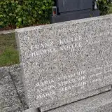 Franz Koller 1926 – 2009
- Hertha Koller 1930 – 2010
 Richard König 1942 – 1997
- Johann Kropf 1916 – 2016
- Luitraud Kropf 1933 – 2020
- Anton Lechner 1940 – 2006
- Anton Lechner 1906 – 1945
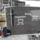 Josefa Lengenfelder 1920 – 2009
Looking for someone who isn't listed? Request a photo.
Nearby cemeteries
The closest other burial grounds listed on EveryStone.
- Markersdorf an der Pielach Cemetery 2.0 km away · Markersdorf an der Pielach
- Gerersdorf Cemetery 2.6 km away · Gemeinde Gerersdorf · 41 records
- Hafnerbach Cemetery 3.0 km away · Hafnerbach
- Haindorf Cemetery 4.0 km away · Haindorf
- Sankt Margarethen an der Sierning Cemetery 5.0 km away · Sankt Margarethen an der Sierning
- Pfarre Neidling 5.0 km away · Neidling · 127 records
- St. Michael Catholic Parish Churchyard, Haunoldstein 5.1 km away · Haunoldstein
- Haunoldstein Cemetery 5.2 km away · Haunoldstein
- Ruhewald Hohenegg 5.3 km away · Stein
- Ober-Grafendorf Cemetery 5.5 km away · Ober-Grafendorf
Contribute with the app
Our website works smoothly on both desktop and mobile devices. Prefer a native app? Check it out below.
- Capture clear headstone photos
- Save GPS grave locations automatically
- Transcribe inscriptions with our AI
- Suggest corrections to existing records
Common questions
How big is Prinzersdorf?
Prinzersdorf covers about 3,780 m² (0.9 acres), about half the size of a soccer field. It is the 378th largest of the 1,114 cemeteries we list in Lower Austria.
What is the oldest grave in this cemetery?
The oldest grave among the records we hold for Prinzersdorf is that of Maria Straschik, who died on April 1, 1928 at the age of 47.