
78
documented records
≈ 120–250
approx. capacity (graves)
6,210 m²
cemetery area
Nov 5, 2026
last modified
About this cemetery
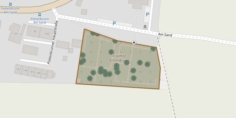
Pottenbrunn Cemetery is one of the six district cemeteries of the city of St. Pölten in Lower Austria. These are Stattersdorf, Viehofen, Radlberg, Pottenbrunn and two others, alongside the main cemetery. It lies near Schloss Pottenbrunn.
Cemetery location
GPS coordinates: 48.240880° N, 15.706260° E Directions in Google Maps (opens in a new tab)
Memorials
Showing the first 50 of 78, A–Z by surname. Search all records
 Franz Austin 1916 – 1942
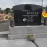 Aloisia Burger 1925 – 2012
- Josef Burger 1925 – 1994
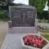 Josefa Eidler 1897 – 1991
- Rudolf Eidler 1912 – 1956
 Anna Frech 1914 – 1985
- Johann Frech 1948 – 1987
 Manfred Gassl 1941 – 1999
- Traude Grassl 1942 – 1994
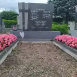 Franz Grübl 1890 – 1971
- Hedwig Grübl 1926 – 2022
- Josefa Grübl 1888 – 1963
- Käthe Grübl 1917 – 1935
- Rudolf Grübl 1921 – 2015
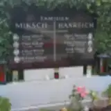 Franz Hanreich 1885 – 1968
- Maria Hanreich 1885 – 1963
 Josef Heiss 1917 – 2009
- Rosa Heiss 1886 – 1962
- Josef Huber 1893 – 1970
- Josefine Huber 1904 – 1965
 Anna Hufnagel 1910 – 1998
- Hufnagl Hufnagel ? – 1946
- Cäcilia Hufnagl 1887 – 1965
- Karl Hufnagl 1874 – 1956
- Karl Hufnagl 1912 – 2009
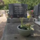 Anna Karner 1944 – 1995
- Franz Karner 1902 – 1977
- Hermann Karner ? – 2020
- Rosa Karner 1895 – 1980
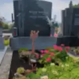 Aloisia Katinger 1912 – 1988
- Rudolf Katinger 1939 – 1986
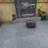 Johann Kerschner 1933 – 2023
- Wilhelmine Kerschner 1937 – 1994
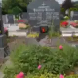 Barbara Klaus 1891 – 1961
- Johann Klaus 1883 – 1967
- Johann Klaus 1918 – 2000
- Josefa Klaus 1923 – 2016
- Leopold Klaus 1923 – 1942
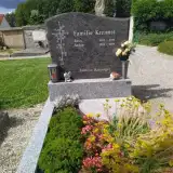 Anton Kreimel 1924 – 2019
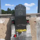 Johanna Kreimel 1861 – 1944
- Karl Kreimel 1854 – 1933
- Karl Kreimel 1897 – 1977
- Rosa Kreimel 1924 – 2010
- Theresia Kreimel 1904 – 1996
- Alfred Mayer 1927 – 2006
- Maria Mayer 1927 – 1977
- Alfred Miksch 1920 – 1977
- Anna Miksch 1889 – 1967
- Edith Miksch 1923 – 2000
- Franz Miksch 1955 – 2021
Looking for someone who isn't listed? Request a photo.
Nearby cemeteries
The closest other burial grounds listed on EveryStone.
- Unterradlberg Cemetery 2.7 km away · Radlberg
- Jeutendorf Cemetery 2.9 km away · Jeutendorf
- Kapelln Cemetery 4.4 km away · Gemeinde Kapelln · 25 records
- Kleinhain Cemetery 4.7 km away · Kleinhain
- Viehofen Cemetery 4.9 km away · Sankt Pölten · 5 records
- Herzogenburg Soviet Military Cemetery 5.2 km away · Herzogenburg
- Herzogenburg War Memorial Chapel and Cemetery 5.3 km away · Herzogenburg
- Böheimkirchen Cemetery 6.4 km away · Böheimkirchen · 42 records
- St. Andrä Cemetery 6.4 km away · Sankt Andrä an der Traisen
- Böheimkirchen New Cemetery 6.5 km away · Böheimkirchen
Contribute with the app
Our website works smoothly on both desktop and mobile devices. Prefer a native app? Check it out below.
- Capture clear headstone photos
- Save GPS grave locations automatically
- Transcribe inscriptions with our AI
- Suggest corrections to existing records
Common questions
How big is Pottenbrunn Cemetery?
Pottenbrunn Cemetery covers about 6,210 m² (1.5 acres), about the size of a soccer field. It is the 213th largest of the 1,114 cemeteries we list in Lower Austria.
What is the oldest grave in this cemetery?
The oldest grave among the records we hold for Pottenbrunn Cemetery is that of Karl Kreimel, who died in 1933 at the age of 79.