
Cemetery #171646
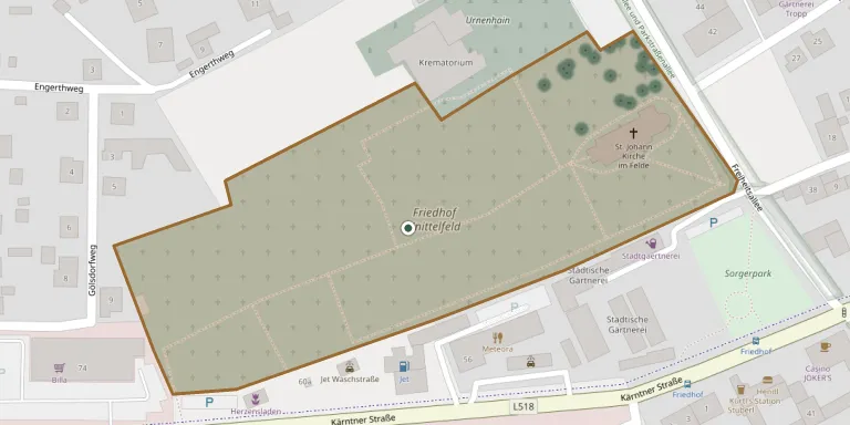
Knittelfeld Municipal Cemetery
Local name: Städtischer Friedhof Knittelfeld
Also known as Friedhof Knittelfeld · St. Johann im Felde · Knittelfeld Urn Grove · Urnenhain
83
documented records
≈ 620–1,200
approx. capacity (graves)
0.031 km²
cemetery area
Nov 5, 2026
last modified
About this cemetery
The Städtischer Friedhof is the municipal cemetery of the town of Knittelfeld in the Murtal District of Styria, administered by the town.
Cemetery location
GPS: GPS coordinates: 47.211488° N, 14.817603° E Directions in Google Maps (opens in a new tab)
Memorials
Showing the first 50 of 83, A–Z by surname. Search all records
 Rosa Anreiter 1916 – 2001
- Rudolf Anreiter 1909 – 1981
- Josef Arras ? – 1922
- Rosa Arras 1888 – 1980
- Herbert Baumgartner 1927 – 2003
 Eduard Brandl 1929 – 2017
- Eduard Brandl 1902 – 1983
- Rosa Brandl 1904 – 1999
 Adelheid Brunnegger 1919 – 2011
- Adolf Brunnegger 1920 – 2006
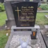 Franz Cutka 1899 – 1970
- Maria Cutka 1908 – 1978
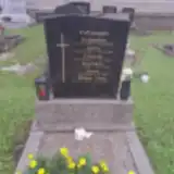 Juliane Draxl 1927 – 2014
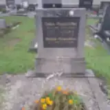 Anton Gaiswinkler 1920 – 1953
- Martina Gaiswinkler 1925 – 2011
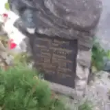 Antonia Gugenberger 1854 – 1931
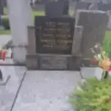 Antonia Heitzer 1862 – 1959
- Martin Heitzer 1878 – 1950
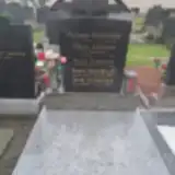 Hans Jermann 1891 – 1945
- Maria Jermann 1889 – 1945
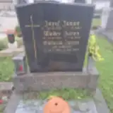 Josef Juvan 1919 – 1980
- Viktoria Juvan 1925 – 2020
- Walter Juvan 1951 – 1998
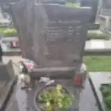 Hubert Kaufschitz 1914 – 2009
- Ferdinand Kautschitz 1889 – 1971
- Josefa Kautschitz 1927 – 2017
- Mathilde Kautschitz 1898 – 1984
- Paula Kautschitz 1891 – 1939
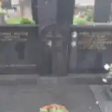 Ernest Kleinhapl 1920 – 1996
- Maria Kleinhapl 1915 – 1991
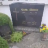 Anna Kollmann 1898 – 1948
- Anton Kollmann 1924 – 2000
- Anton Kollmann 1870 – 1942
- Maria Kollmann 1875 – 1963
- Richard Kollmann 1893 – 1954
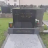 Karl Leitgeb 1908 – 1991
- Thea Leitgeb 1910 – 1978
- Dominikus Mayerhofer 1921 – 2015
- Sophie Mayerhofer 1928 – 1999
- Thomas Moser 1918 – 1991
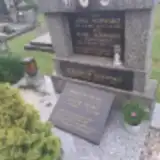 Ottilie Pecko 1897 – 1988
- Wilhelm Pecko 1898 – 1973
- Richard Pirzl 1950 – 2018
- Gerhard Quanditsch 1941 – 1942
- Josef Quanditsch 1911 – 2002
- Maria Quanditsch 1917 – 1999
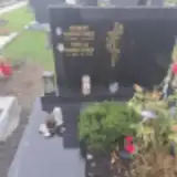 Herbert Rabensteiner 1926 – 2002
- Theresia Rabensteiner 1923 – 2010
- Anton Regner 1873 – 1945
- Josefine Regner ? – 1908
Looking for someone who isn't listed? Request a photo.
Nearby cemeteries
The closest other burial grounds listed on EveryStone.
- Knittelfeld Jewish Cemetery 1.5 km away · Knittelfeld
- Großlobming Cemetery 2.5 km away · Großlobming
- Spielberg Cemetery 3.5 km away · Lind
- Sankt Margarethen bei Knittelfeld Cemetery 3.6 km away · Ugendorf
- Kobenz Cemetery 4.5 km away · Kobenz
- Schönberg Cemetery 4.6 km away · Schönberg
- Zeltweg Village Cemetery 4.6 km away · Zeltweg
- St. Lorenzen/Knittelfeld Cemetery 7.0 km away · Sankt Lorenzen bei Knittelfeld
- St. Thomas Catholic Parish Churchyard, Kleinlobming 7.0 km away · Kleinlobming
- Sankt Marein bei Knittelfeld Cemetery 7.1 km away · Sankt Marein bei Knittelfeld
Contribute with the app
Our website works smoothly on both desktop and mobile devices. Prefer a native app? Check it out below.
- Capture clear headstone photos
- Save GPS grave locations automatically
- Transcribe inscriptions with our AI
- Suggest corrections to existing records
Common questions
How big is Knittelfeld Municipal Cemetery?
Knittelfeld Municipal Cemetery covers about 31,000 m² (7.6 acres), about the size of 4 soccer fields. It is the 11th largest of the 441 cemeteries we list in Styria.
What is the oldest grave in this cemetery?
The oldest grave among the records we hold for Knittelfeld Municipal Cemetery is that of Josefine Regner, who died in 1908.