
14
documented records
≈ 14–25
approx. capacity (graves)
630 m²
cemetery area
Oct 29, 2026
last modified
About this cemetery
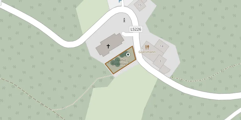
The cemetery in Plankenstein, in the municipality of Texingtal, Melk District, Lower Austria, has a record of war dead from the First and Second World Wars. The parish of Plankenstein was established in 1786, and masses were held in the castle chapel because there was no church.
Cemetery location
GPS coordinates: 48.023410° N, 15.279960° E Directions in Google Maps (opens in a new tab)
Memorials
14 memorials, A–Z by surname.
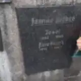 Josef Bieber 1908 – 1965
- Diebre Friedrich 1949 – 1964
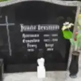 Ernestine Grasmann 1902 – 1998
 Franz Grasmann 1947 – 2009
- Franz Grasmann 1902 – 1984
- Hermann Grasmann 1904 – 1963
- Maria Grasmann 1906 – 1991
- Franz Heigl 1935 – 1989
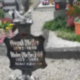 August Pfeffer 1892 – 1979
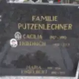 Cäcilia Putzenlechner 1927 – 1993
- Engelbert Putzenlechner 1892 – 1972
- Friedrich Putzenlechner 1928 – 2019
- Maria Putzenlechner 1901 – 1956
- Josef Winter-Pfeffer 1937 – 1983
Looking for someone who isn't listed? Request a photo.
Nearby cemeteries
The closest other burial grounds listed on EveryStone.
- Sankt Gotthard Cemetery 4.0 km away · Sankt Gotthard · 30 records
- Texing Cemetery 4.0 km away · Texing
- St. Georgen an der Leys Cemetery 4.2 km away · Sankt Georgen an der Leys
- Frankenfels Cemetery 5.7 km away · Gemeinde Frankenfels · 255 records
- Oberndorf an der Melk Cemetery 6.1 km away · Altenmarkt
- Kirnberg an der Mank Cemetery 6.2 km away · Kirnberg an der Mank
- Sankt Anton an der Jeßnitz Cemetery 8.8 km away · Sankt Anton an der Jessnitz · 69 records
- Scheibbs Cemetery 9.3 km away · Scheibbs
- Loich Cemetery 9.4 km away · Loich · 57 records
- Puchenstuben Cemetery 11 km away · Gemeinde Puchenstuben · 21 records
Contribute with the app
Our website works smoothly on both desktop and mobile devices. Prefer a native app? Check it out below.
- Capture clear headstone photos
- Save GPS grave locations automatically
- Transcribe inscriptions with our AI
- Suggest corrections to existing records
Common questions
How big is Plankenstein Cemetery?
Plankenstein Cemetery covers about 630 m² (0.2 acres), about the size of 2 tennis courts. It is the 50th smallest of the 1,114 cemeteries we list in Lower Austria.
What is the oldest grave in this cemetery?
The oldest grave among the records we hold for Plankenstein Cemetery is that of Maria Putzenlechner, who died in 1956 at the age of 55.