
Cemetery #171757
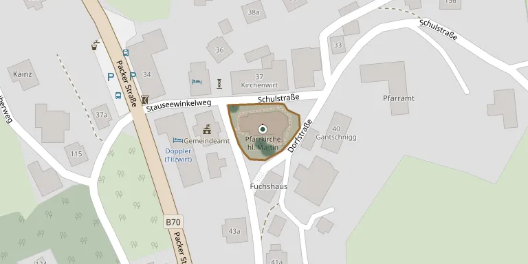
Pack Parish Cemetery
Local name: Pfarrfriedhof Pack
Also known as Pfarrkirche Pack
17
documented records
≈ 21–42
approx. capacity (graves)
1,060 m²
cemetery area
Nov 5, 2026
last modified
About this cemetery
This parish cemetery surrounds the parish church of St. Martin in Pack, part of Hirschegg-Pack in Styria. The church and the cemetery are protected monuments. The parish of Pack dates back to 1245, and since 2015 Pack has been merged with the municipality of Hirschegg.
Cemetery location
GPS coordinates: 46.977727° N, 14.984895° E Directions in Google Maps (opens in a new tab)
Memorials
17 memorials, A–Z by surname.
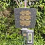 Gottfried Buchegger 1894 – 1988
- Juliane Buchegger 1900 – 1986
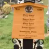 Johann Kainz 1895 – 1971
- Maria Kainz 1894 – 1943
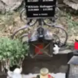 Elfriede Kollegger 1960 – 1965
- Franz Kollegger 1937 – 1991
- Hildegard Pongratz 1925 – 2020
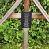 Franz Rößl 1888 – 1957
- Johann Rößl 1922 – 2019
- Kurt Rößl 1949 – 2010
- Maria Rößl 1884 – 1950
- Matthias Rößl 1853 – 1936
- Michael Rößl 1976 – 2020
- Rosa Rößl 1926 – 2018
- Juliana Spary 1851 – 1929
- Maria Spary 1914 – 1990
- Simpferrosa Wieser 1872 – 1923
Looking for someone who isn't listed? Request a photo.
Nearby cemeteries
The closest other burial grounds listed on EveryStone.
- Hirschegg Cemetery 5.0 km away · Hirschegg Rein
- Pfarrkirche Modriach 6.1 km away · Modriach
- Preitenegg Parish Cemetery 6.3 km away · Preitenegg
- Preitenegg Cemetery 6.3 km away · Preitenegg
- Edelschrott 7.3 km away · Edelschrott
- St. Martin am Wöllmißberg Cemetery 9.7 km away · Sankt Martin am Wöllmißberg
- St. Magdalene Catholic Parish Churchyard, Theissenegg 11 km away · Theissenegg
- Maria Lankowitz Cemetery 11 km away · Maria Lankowitz
- St. Giles Catholic Parish Churchyard, Erzberg 12 km away · Erzberg · 4 records
- Köflach Cemetery 13 km away · Köflach
Contribute with the app
Our website works smoothly on both desktop and mobile devices. Prefer a native app? Check it out below.
- Capture clear headstone photos
- Save GPS grave locations automatically
- Transcribe inscriptions with our AI
- Suggest corrections to existing records
Common questions
How big is Pack Parish Cemetery?
Pack Parish Cemetery covers about 1,060 m² (0.3 acres), about the size of 4 tennis courts. It is the 58th smallest of the 441 cemeteries we list in Styria.
What is the oldest grave in this cemetery?
The oldest grave among the records we hold for Pack Parish Cemetery is that of Simpferrosa Wieser, who died in 1923 at the age of 51.