
13
documented records
≈ 13–20
approx. capacity (graves)
280 m²
cemetery area
Nov 5, 2026
last modified
About this cemetery
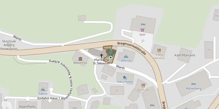
Warth Cemetery lies in Gemeinde Warth, Vorarlberg, Austria.
Cemetery location
GPS coordinates: 47.259004° N, 10.181998° E Directions in Google Maps (opens in a new tab)
Memorials
13 memorials, A–Z by surname.
 Josef Bickel 1891 – 1918
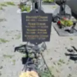 Brunold Drexel 1930 – 2015
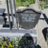 Gaudenz Drexel 1936 – 1977
- Helena Drexel 1932 – 2012
- Kreszentia Drexel 1891 – 1954
- Roman Drexel 1885 – 1964
- Rosa Drexel 1920 – 2005
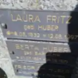 Laura Fritz 1932 – 1997
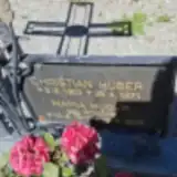 Christian Huber 1902 – 1971
- Josef Huber 1893 – 1916
- Maria Huber 1912 – 2005
 Otto Strolz 1925 – 1945
- Friedolin Weißenbach 1919 – 1943
Looking for someone who isn't listed? Request a photo.
Nearby cemeteries
The closest other burial grounds listed on EveryStone.
- Lech am Arlberg Cemetery 6.2 km away · Gemeinde Lech · 68 records
- Schröcken Cemetery 6.8 km away · Gemeinde Schröcken · 12 records
- Sankt Jodok Cemetery 7.5 km away · Mittelberg · 3 records
- Dickenau Village Cemetery 8.5 km away · Dickenau
- Hirschegg Cemetery 9.3 km away · Hirschegg
- Hägerau Cemetery 9.6 km away · Hägerau
- Kaisers Cemetery 10 km away · Kaisers
- Riezlern Cemetery 11 km away · Riezlern
- Holzgau Cemetery 12 km away · Holzgau
- Schoppernau Cemetery 14 km away · Schoppernau · 15 records
Contribute with the app
Our website works smoothly on both desktop and mobile devices. Prefer a native app? Check it out below.
- Capture clear headstone photos
- Save GPS grave locations automatically
- Transcribe inscriptions with our AI
- Suggest corrections to existing records
Common questions
How big is Warth Cemetery?
Warth Cemetery covers about 280 m², about the size of a tennis court. It is the 9th smallest of the 151 cemeteries we list in Vorarlberg.
What is the oldest grave in this cemetery?
The oldest grave among the records we hold for Warth Cemetery is that of Josef Huber, who died in 1916 at the age of 23.