
Cemetery #172428
Statte Cemetery
Local name: Cimetière de Statte
29
documented records
≈ 94–190
approx. capacity (graves)
4,690 m²
cemetery area
Nov 5, 2026
last modified
About this cemetery
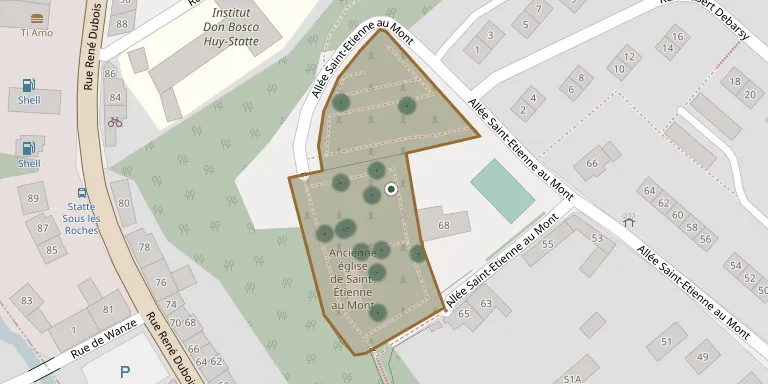
The Cimetière de Statte is a historic cemetery surrounding the former church of Saint-Étienne-au-Mont in Statte, a district of Huy. It is one of the cemeteries managed by the town of Huy.
Cemetery location
GPS coordinates: 50.531172° N, 5.220722° E Directions in Google Maps (opens in a new tab)
Memorials
29 memorials, A–Z by surname.
 Mariette Adam 1902 – 1979
 Jean Courtoy 1903 – 1974
 Denise Delleur 1930 – 2007
 Jules Dessart 1863 – 1935
 Armand Faniel 1873 – 1933
 Cécile Fossoul 1904 – 1975
- Félicien Fossoul 1891 – 1966
- Grevesse Fossoul ? – 1934
- Jeanne Fossoul 1893 – 1981
- Marie Fossoul 1889 – 1959
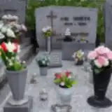 Marcelle Godefroid 1929 – 2016
 Lucie Gosuin 1890 – 1953
 Laure Grad 1878 – 1960
- Jeanne Grosjean 1870 – 1943
- Lucie Habets ? – 1953
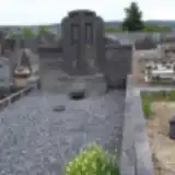 Simone Lamproye 1906 – 1994
 Désiré Lefebvre 1888 – 1949
 Marie Libois 1921 – 2000
- Bernard Louviaux 1959 – 1995
- Franeis Marionex 1877 – 1964
- Georges Sapin 1931 – 1932
- Georges Sapin 1891 – 1968
- Gerilda Sapin 1894 – 1953
- José Sapin 1928 – 1975
- Joseph Sapin ? – 1928
- Arthur Stasse 1876 – 1948
 Lorana Sylvain 1918 – 1980
- José Ubieta 1925 – 1988
- Paul Williquet 1898 – 1923
Looking for someone who isn't listed? Request a photo.
Nearby cemeteries
The closest other burial grounds listed on EveryStone.
- Ahin Cemetery 790 m away · Huy · 22 records
- La Buissiere Cemetery 1.1 km away · Huy · 143 records
- Wanze Cemetery 1.3 km away · Wanze
- Saint Léonard Cemetery 1.9 km away · Huy · 26 records
- Antheit Communal Cemetery 2.7 km away · Wanze · 10 records
- Bas Oha Cemetery 2.7 km away · Wanze · 21 records
- Antheit Commonwealth War Grave 2.7 km away · Antheit
- Huy La Sarte Communal Cemetery 3.0 km away · Huy · 32 records
- Sainte Marguerite Cemetery 3.1 km away · Huy · 31 records
- Moha Cemetery 3.4 km away · Wanze · 40 records
Contribute with the app
Our website works smoothly on both desktop and mobile devices. Prefer a native app? Check it out below.
- Capture clear headstone photos
- Save GPS grave locations automatically
- Transcribe inscriptions with our AI
- Suggest corrections to existing records
Common questions
How big is Statte Cemetery?
Statte Cemetery covers about 4,690 m² (1.2 acres), about half the size of a soccer field. It is the 174th largest of the 531 cemeteries we list in Liège.
What is the oldest grave in this cemetery?
The oldest grave among the records we hold for Statte Cemetery is that of Paul Williquet, who died in 1923 at the age of 25.