
49
documented records
≈ 270–540
approx. capacity (graves)
0.014 km²
cemetery area
Nov 5, 2026
last modified
About this cemetery
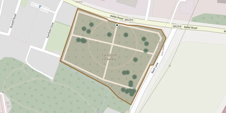
Carnforth Cemetery on Kellet Road was opened in 1925 and was originally administered by Carnforth Urban District Council. It is now managed by Lancaster City Council.
Cemetery location
GPS coordinates: 54.124542° N, 2.758782° W Directions in Google Maps (opens in a new tab)
Memorials
49 memorials, A–Z by surname.
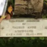 Valerie Ashworth 1948 – 1988
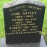 Jack Astley 1915 – 1944
- John Astley 1884 – 1964
- Robert Astley 1912 – 1930
- Sarah Astley 1885 – 1965
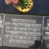 Charles Bloomer 1928 – 1992
- Mary Bloomer 1927 – 2005
 Elizabeth Boak 1863 – 1938
- Robert Boak ? – 1969
- William Boak 1868 – 1928
 Desmond Cousins 1926 – 2012
- Nancy Cousins 1926 – 2015
 Colin Cunningham 1943 – 1996
 Harry Hargreaves 1909 – 1983
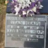 Olive Heaps 1924 – 2010
- Stan Heaps 1920 – 2005
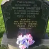 Gladys Irene 1920 – 1990
 Isabella Jackson 1866 – 1948
- John Jackson 1875 – 1952
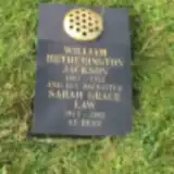 William Jackson 1867 – 1952
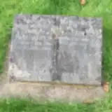 Joseph Kirkpatrick 1901 – 1964
- Nellie Kirkpatrick 1901 – 1972
- Sarah Law 1913 – 2003
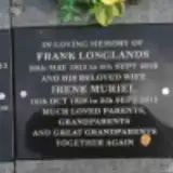 Frank Longlands 1933 – 2012
- Irene Longlands 1928 – 2013
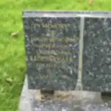 Len Mayall 1911 – 1996
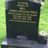 James Pinch 1948 – 2010
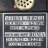 Alfred Purnell 1924 – 1999
- Roma Purnell 1925 – 2019
 Lynne Relph 1951 – 2005
 Geoff Rogerson 1939 – 2015
 Kathleen Rogerson 1936 – 2016
- Pauline Rogerson 1937 – 2017
- Hadwin Shooter 1919 – 1983
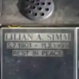 Lilian Simm 1901 – 1999
 Leslie Stavert 1912 – 1977
- Muriel Stavert 1912 – 2007
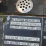 Colin Stewart 1922 – 2017
- Gladys Stewart 1921 – 2003
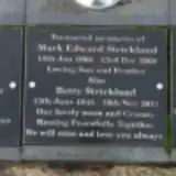 Betty Strickland 1944 – 2011
- Mark Strickland 1966 – 2008
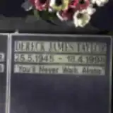 Dereck Taylor 1945 – 1998
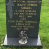 Edna Turnbull 1904 – 1995
- Ralph Turnbull 1903 – 1988
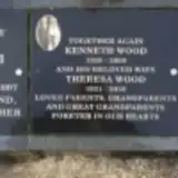 Kenneth Wood 1929 – 2009
- Theresa Wood 1931 – 2018
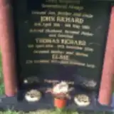 Elsie Woodhouse 1933 – 2008
- John Woodhouse 1961 – 1986
- Thomas Woodhouse 1934 – 2006
Looking for someone who isn't listed? Request a photo.
Nearby cemeteries
The closest other burial grounds listed on EveryStone.
- St. Oswald Churchyard 2.3 km away · Lancaster · 10 records
- Holy Trinity Churchyard 3.2 km away · Lancaster · 13 records
- Christ Church United Reform Church 3.4 km away · Lancaster · 60 records
- Church of St. John 4.7 km away · Yealand Conyers
- Bottomdale Cemetery, Slyne 4.9 km away · Slyne · 25 records
- Halton Burial Ground 5.2 km away · Halton · 23 records
- St Wilfrid's Churchyard 5.4 km away · Lancaster
- St. Paul Churchyard 6.6 km away · Lancaster · 8 records
- St. John The Evangelist Churchyard 6.7 km away · Lancaster · 5 records
- St. John Old Churchyard Extension 6.8 km away · Lancaster
Contribute with the app
Our website works smoothly on both desktop and mobile devices. Prefer a native app? Check it out below.
- Capture clear headstone photos
- Save GPS grave locations automatically
- Transcribe inscriptions with our AI
- Suggest corrections to existing records
Common questions
How big is Carnforth Cemetery?
Carnforth Cemetery covers about 14,000 m² (3.4 acres), about the size of 2 soccer fields. It is the 48th largest of the 298 cemeteries we list in Lancashire.
What is the oldest grave in this cemetery?
The oldest grave among the records we hold for Carnforth Cemetery is that of William Wilson Boak, who died on December 30, 1928 at the age of 60.