
22
documented records
≈ 79–160
approx. capacity (graves)
3,960 m²
cemetery area
Nov 5, 2026
last modified
About this cemetery
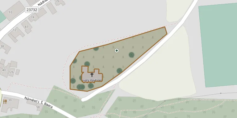
The cemetery lies in the south-eastern part of the town of Klobuky in Central Bohemia, and the Church of St Lawrence stands within its grounds. The cemetery's telephone number is +420 725 438 288, and you can find out more through klobuky.cz.
Cemetery location
GPS coordinates: 50.294102° N, 13.993600° E Directions in Google Maps (opens in a new tab)
Memorials
22 memorials, A–Z by surname.
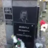 Vladislav Formánek 1974 – 2011
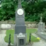 Josef Franc 1857 – 1907
 Marie Jagriková 1890 – 1940
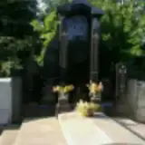 Jiří Malypetr 1909 – 1991
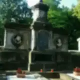 Miloslava Perlíková 1884 – 1935
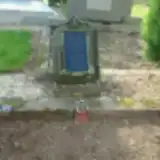 Kateřina Pokorná 1871 – 1922
- Josef Pokorný 1841 – 1928
- Ladislav Richtr 1930 – 2003
- Vincenc Richtr 1889 – 1940
- Marie Richtrová 1896 – 1975
- Pavlína Richtrová 1923 – 1984
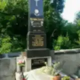 Antonín Šaroch 1892 – 1913
 Josef Švec 1922 – 1980
- Anna Švecová 1920 – 2017
 Václav Toman 1845 – 1911
- Vlaďa Verner 1854 – 1964
- Vladimír Verner 1894 – 1970
- Vladimír Verner 1921 – 2005
- Marie Vernerová 1919 – 2008
- Marie Vernerová 1895 – 1960
 Linhart Vohanka 1898 – 1963
- Bela Zapová 1892 – 1909
Looking for someone who isn't listed? Request a photo.
Nearby cemeteries
The closest other burial grounds listed on EveryStone.
- Peruc Cemetery, Telce 1.8 km away · Peruc
- Páleček Cemetery 2.7 km away · Klobuky · 5 records
- Úherce Cemetery 2.7 km away · Úherce
- Hořešovice Cemetery 3.1 km away · Hořešovice · 4 records
- Kvílice Cemetery 3.9 km away · Kvílice · 41 records
- Vraný Cemetery 4.0 km away · Vraný
- Páleč Cemetery 4.5 km away · Páleč
- Dřínov Cemetery 5.5 km away · Dřínov
- Peruc Cemetery 5.8 km away · Peruc · 17 records
- Peruc Cemetery 5.9 km away · Peruc
Contribute with the app
Our website works smoothly on both desktop and mobile devices. Prefer a native app? Check it out below.
- Capture clear headstone photos
- Save GPS grave locations automatically
- Transcribe inscriptions with our AI
- Suggest corrections to existing records
Common questions
How big is Klobuky Cemetery?
Klobuky Cemetery covers about 3,960 m² (1 acre), about half the size of a soccer field. It is the 223rd largest of the 906 cemeteries we list in Central Bohemian Region.
What is the oldest grave in this cemetery?
The oldest grave among the records we hold for Klobuky Cemetery is that of Josef Franc, who died on March 25, 1907 at the age of 50.