
19
documented records
≈ 180–350
approx. capacity (graves)
8,760 m²
cemetery area
Oct 29, 2026
last modified
About this cemetery
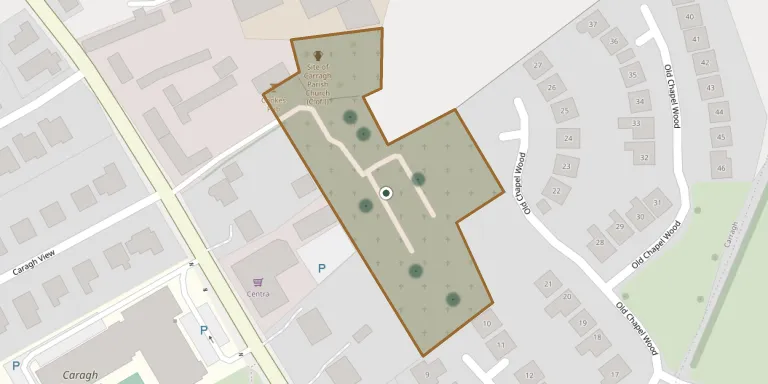
Caragh Cemetery is a burial ground in the village of Caragh (also spelled Carragh) in County Kildare, on the R409 road. It is still active today, although the first edition six-inch Ordnance Survey map of 1838 makes no mention of it.
Cemetery location
GPS coordinates: 53.237766° N, 6.728000° W Directions in Google Maps (opens in a new tab)
Memorials
19 memorials, A–Z by surname.
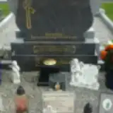 Patrick Cunningham 1935 – 2001
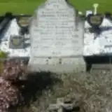 Bridget Donnelly ? – 1947
- Catherine Donnelly ? – 1894
- Edward Donnelly ? – 1940
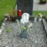 James Donnelly 1914 – 1985
- Jim Donnelly ? – 1975
- Josephine Donnelly ? – 1984
- Thomas Donnelly 1821 – 1883
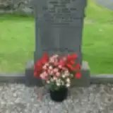 Brigid Losty ? – 1973
- Christopher Losty 1899 – 1992
- John Losty ? – 1975
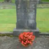 John Monahan ? – 1965
- Mary Monahan ? – 1993
- Michael Monahan 1883 – 1953
- Michael Monahan ? – 1933
- Winifred Monahan ? – 1994
 James Ward 1880 – 1955
- Mary Ward 1885 – 1969
- Patrick Ward 1910 – 1978
Looking for someone who isn't listed? Request a photo.
Nearby cemeteries
The closest other burial grounds listed on EveryStone.
- Killybegs (Old), Prosperous 4.3 km away · Prosperous · 6 records
- Maudlins Cemetery 4.6 km away · Naas
- Bodenstown Churchyard 5.3 km away · Bodenstown
- Saint Corban Cemetery 5.3 km away · Kildare · 130 records
- New Killybegs Cemetery, Prosperous 5.4 km away · An Chorrchoill
- Maudlins Cemetery 5.5 km away · Naas
- Clane Abbey Cemetery 6.4 km away · Clane
- Clane Church of Ireland Churchyard 6.5 km away · Clane
- Garden of Remembrance 6.5 km away · Clane
- Downings Grave Yard 6.6 km away · Prosperous
Contribute with the app
Our website works smoothly on both desktop and mobile devices. Prefer a native app? Check it out below.
- Capture clear headstone photos
- Save GPS grave locations automatically
- Transcribe inscriptions with our AI
- Suggest corrections to existing records
Common questions
How big is Caragh Cemetery?
Caragh Cemetery covers about 8,760 m² (2.2 acres), about the size of a soccer field. It is the 19th largest of the 105 cemeteries we list in County Kildare.
What is the oldest grave in this cemetery?
The oldest grave among the records we hold for Caragh Cemetery is that of Thomas Donnelly, who died on June 7, 1883 at the age of 62.