
Cemetery #17927
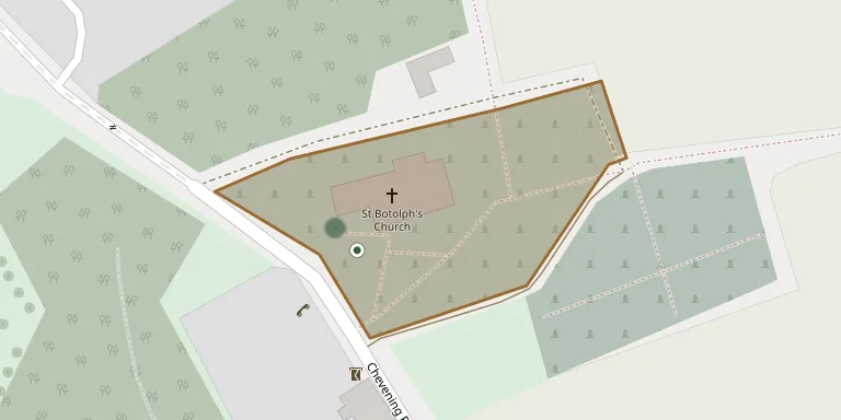
St Botolph Churchyard
Also known as Chevening (Saint Botolph) Churchyard · St Botolphs Church, Chevening
17
documented records
≈ 130–250
approx. capacity (graves)
6,340 m²
cemetery area
Nov 6, 2026
last modified
About this cemetery
The churchyard surrounds the Church of St Botolph in Chevening, Kent, a medieval Grade I listed building of Norman origin. In the post-medieval period the church had a close connection with the Lennard (later Lords Dacre) and Stanhope families of nearby Chevening.
Cemetery location
GPS coordinates: 51.298763° N, 0.134518° E Directions in Google Maps (opens in a new tab)
Memorials
17 memorials, A–Z by surname.
 Abraham Barham 1773 – 1849
 Mabel Blake ? – 1972
- William Blake 1879 – 1947
 Rose Chavasse 1925 – 2020
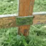 Katharne Draper 1927 – 2022
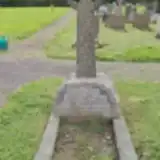 Constance Jackson 1869 – 1942
- Mary Jackson ? – 1917
- Jackson 1860 – 1944
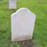 Derek Johnson 1949 – 2014
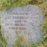 Amy Pett 1898 – 1972
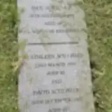 David Sculpher 1913 – 1998
- Kathleen Sculpher ? – 1995
- Paul Sculpher ? – 1991
- Royston Sculpher ? – 2022
 Emily Smith 1882 – 1974
- Walter Smith ? – 1948
 Gladys Spencer 1913 – 1990
Looking for someone who isn't listed? Request a photo.
Nearby cemeteries
The closest other burial grounds listed on EveryStone.
- Dunton Green Cemetery 1.9 km away · Dunton Green
- St Katharine Churchyard 2.5 km away · Knockholt · 1 record
- Sundridge (Saint Mary) Churchyard 2.7 km away · Sundridge · 3 records
- Brasted (Saint Martin) Churchyard 3.0 km away · Brasted · 2 records
- St Mary the Virgin Churchyard 3.0 km away · Riverhead
- St. Margaret Churchyard 4.1 km away · Halstead · 14 records
- Otford Cemetery car park 4.2 km away · Otford · 5 records
- Otford (Saint Bartholomew Churchyard) 4.2 km away · Otford · 1 record
- Bluebell Cemetery 4.7 km away · Halstead
- Greatness Park Cemetery 4.9 km away · Sevenoaks · 16 records
Contribute with the app
Our website works smoothly on both desktop and mobile devices. Prefer a native app? Check it out below.
- Capture clear headstone photos
- Save GPS grave locations automatically
- Transcribe inscriptions with our AI
- Suggest corrections to existing records
Common questions
How big is St Botolph Churchyard?
St Botolph Churchyard covers about 6,340 m² (1.6 acres), about the size of a soccer field. It is the 169th largest of the 475 cemeteries we list in Kent.
What is the oldest grave in this cemetery?
The oldest grave among the records we hold for St Botolph Churchyard is that of Abraham Barham, who died on February 2, 1849 at the age of 75.