
467
documented records
≈ 470–700
approx. capacity (graves)
0.011 km²
cemetery area
Nov 5, 2026
last modified
About this cemetery
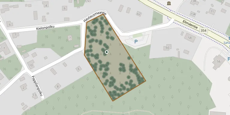
The cemetery lies about one kilometre west of Anjala church, south of the Anjala-Elimäki road along Hautausmaantie, in Kouvola. It is managed by the Kouvola parishes and has both grass-covered and sand-covered graves, some with kerbstones. An archive photograph is captioned as the resting place of the Wrede family.
Cemetery location
GPS coordinates: 60.690155° N, 26.790806° E Directions in Google Maps (opens in a new tab)
Memorials
Showing the first 50 of 467, A–Z by surname. Search all records
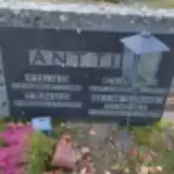 Elviira Anttila 1894 – 1934
- Helmi Anttila 1918 – 2009
- Tenho Anttila 1920 – 1995
- Vilho Anttila 1916 – 1918
 Antti Arola 1865 – 1948
- Elisabet Arola 1863 – 1930
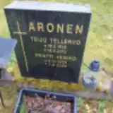 Pentti Aronen 1933 – 2020
- Teiju Aronen 1935 – 2013
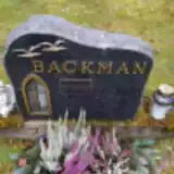 Stig Backman 1946 – 2015
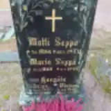 Arvo Haapala 1907 – 1929
- Veino Haapala 1907 – 1962
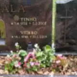 Jussi Hautala 1943 – 2010
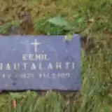 Eemil Hautalahti 1875 – 1919
 Maria Heikkilä 1856 – 1929
 Matti Heikkilä 1874 – 1955
 Rauha Heikkilä 1907 – 1967
- Sirkka Heikkilä 1939 – 2019
- Sofia Heikkilä 1870 – 1940
- Tilda Heikkilä 1887 – 1919
- Uuno Heikkilä 1895 – 1966
 Harry Heimonen 1910 – 1969
- Silla Heimonen 1911 – 1991
- Veikko Heimonen 1932 – 1984
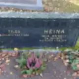 Irja Heinä 1939 – 2014
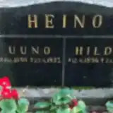 Hilda Heino 1896 – 1986
- Uuno Heino 1898 – 1937
 Hilda Hietala 1915 – 1977
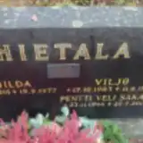 Pentti Hietala 1944 – 2012
- Viljo Hietala 1903 – 1991
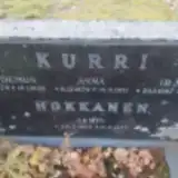 Lempi Hokkanen 1905 – 1977
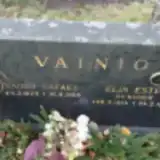 Arno Huovila 1942 – 2018
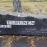 Leena Hytönen 1934 – 2018
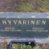 Helvi Hyvärinen 1909 – 1980
- Pauli Hyvärinen 1899 – 1968
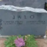 Pirkko-Liisa Jalo 1946 – 2002
 Elli Juurela 1898 – 1986
- Sakari Juurela 1880 – 1958
- Vilhelmiina Juurela 1871 – 1944
 Frans Kivimäki 1858 – 1930
- Juho Kivimäki 1901 – 1907
- Rauha Kivimäki 1891 – 1947
- Tilda Kivimäki 1860 – 1916
- Tyyne Kivimäki 1888 – 1911
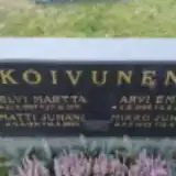 Arvi Koivunen 1904 – 1974
- Helvi Koivunen 1907 – 1971
- Kaija Koivunen 1926 – 2023
- Matti Koivunen 1931 – 2003
- Mikko Koivunen 1942 – 2011
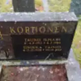 Tauno Korhonen 1912 – 1988
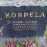 Martta Korpela 1921 – 2019
Looking for someone who isn't listed? Request a photo.
Nearby cemeteries
The closest other burial grounds listed on EveryStone.
- Anjala Kirkkovuori Cemetery 690 m away · Kouvola
- Wrede Cemetery, Paaranmäki 690 m away · Paaranmäki · 8 records
- Paaranmäki Heroes' Cemetery 880 m away · Paaranmäki
- Huruksela Cemetery 4.1 km away · Kotka · 28 records
- Inkeroinen Karhukangas Cemetery 4.2 km away · Kymenlaakso · 258 records
- Muhniemi Cemetery 4.8 km away · Kouvola · 342 records
- Ummeljoki Heroes' Cemetery 8.8 km away · Ummeljoki
- Välikangas Cemetery 12 km away · Kouvola · 815 records
- Sippola Upper Cemetery 13 km away · Sippola · 8 records
- Sippola Lower Cemetery 13 km away · Kouvola · 4 records
Contribute with the app
Our website works smoothly on both desktop and mobile devices. Prefer a native app? Check it out below.
- Capture clear headstone photos
- Save GPS grave locations automatically
- Transcribe inscriptions with our AI
- Suggest corrections to existing records
Common questions
How big is Anjala Cemetery?
Anjala Cemetery covers about 11,000 m² (2.6 acres), about the size of a soccer field. It is the 29th smallest of the 59 cemeteries we list in Kymenlaakso.
What is the oldest grave in this cemetery?
The oldest grave among the records we hold for Anjala Cemetery is that of Tuomas Tihula, who died on February 28, 1897 at the age of 48.