
Cemetery #180663
Račja Vas Cemetery
Local name: Groblje Račja Vas
Also known as Pokopališče Račja vas
19
documented records
≈ 19–30
approx. capacity (graves)
760 m²
cemetery area
Nov 5, 2026
last modified
About this cemetery
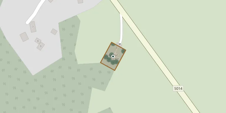
Račja Vas Cemetery serves the village of Račja Vas in the municipality of Lanišće, Istria County. The village lies on the Ćićarija plateau at 692 metres above sea level, about 4 km north-west of Lanišće. Photographs of around 90 graves have been recorded here.
Cemetery location
GPS coordinates: 45.424342° N, 14.098356° E Directions in Google Maps (opens in a new tab)
Memorials
19 memorials, A–Z by surname.
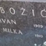 Ivan Božić 1909 – 1976
- Milka Božić 1910 – 1978
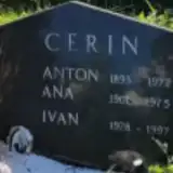 Ana Cerin 1901 – 1975
- Anton Cerin 1893 – 1972
- Ivan Cerin 1928 – 1997
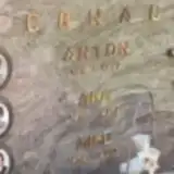 Ana Crnac 1917 – 2010
- Anton Crnac 1914 – 1979
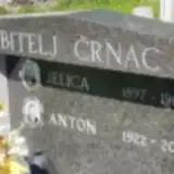 Andela Črnac 1916 – 1989
- Anton Črnac 1910 – 1981
- Anton Črnac 1922 – 2011
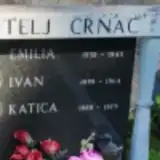 Emilia Črnac 1932 – 1945
- Ivan Črnac 1898 – 1964
- Jelica Črnac 1897 – 1981
- Katica Črnac 1889 – 1979
- Miro Črnac 1949 – 2009
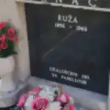 Ruža Črnac 1896 – 1968
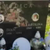 Ivan Medica 1908 – 1944
- Karlo Medica 1913 – 1944
- Karolina Medica 1940 – 2020
Looking for someone who isn't listed? Request a photo.
Nearby cemeteries
The closest other burial grounds listed on EveryStone.
- Lanišće Cemetery 2.0 km away · Lanišće · 43 records
- Roč Cemetery 5.2 km away · Forčići
- Vele Mune Cemetery 6.5 km away · Vele Mune
- Slum Cemetery 8.0 km away · Slum
- Pokopališče Brest 8.2 km away · Buzet
- Lupoglav Cemetery 9.0 km away · Lupoglav · 2 records
- Hum Cemetery 9.2 km away · Hum
- Lesišćina Cemetery 9.8 km away · Lesišćina
- Golac pri Materiji Cemetery 10 km away · Golac pri Materiji
- Buzet Cemetery 11 km away · Buzet · 36 records
Contribute with the app
Our website works smoothly on both desktop and mobile devices. Prefer a native app? Check it out below.
- Capture clear headstone photos
- Save GPS grave locations automatically
- Transcribe inscriptions with our AI
- Suggest corrections to existing records
Common questions
How big is Račja Vas Cemetery?
Račja Vas Cemetery covers about 760 m² (0.2 acres), about the size of 3 tennis courts. It is the 18th smallest of the 124 cemeteries we list in Istria.
What is the oldest grave in this cemetery?
The oldest grave among the records we hold for Račja Vas Cemetery is that of Karlo Medica, who died in 1944 at the age of 31.