
64
documented records
≈ 66–130
approx. capacity (graves)
3,310 m²
cemetery area
Nov 5, 2026
last modified
About this cemetery
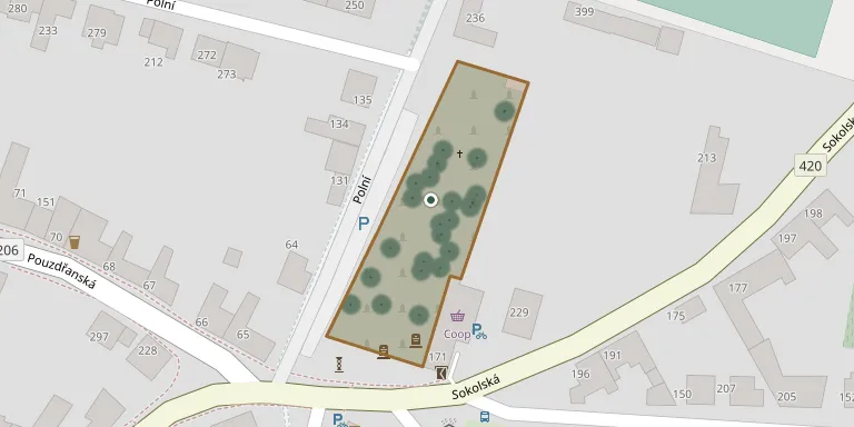
The village of Strachotín carried out a project to repair the cemetery building, with support from MAS Hustopečsko. After 1989 a memorial to the liberators was moved to the cemetery. The village church was originally surrounded by a burial ground.
Cemetery location
GPS coordinates: 48.906460° N, 16.653570° E Directions in Google Maps (opens in a new tab)
Memorials
Showing the first 50 of 64, A–Z by surname. Search all records
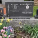 Bohuslav Babirád 1921 – 1975
- Zdenka Babirádová 1932 – 2002
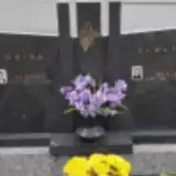 Marie Bohatá 1928 – 2014
- Bohumil Bohatý 1924 – 1989
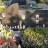 Josef Bromek 1943 – 1986
- Josef Bromek 1926 – 1961
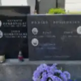 Lydie Dobrovolná 1939 – 2019
- Antonín Dobrovolný 1936 – 2008
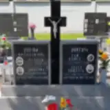 Julie Dubcová 1899 – 1981
- Jan Dubec 1898 – 1956
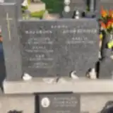 Martin Dvořáček 1972 – 2004
- Radoslav Dvořáček 1965 – 2007
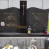 Pavla Furchová 1914 – 2000
 František Hangya 1935 – 1990
 Josef Kaňa 1895 – 1960
- Marie Kaňová 1907 – 1987
 Jan Karas 1946 – 2017
- Jan Karas 1905 – 1956
 Jana Kepáková 1980 – 2002
- Otakar Kolegar 1925 – 1997
- Jozefína Kolegarová 1924 – 2008
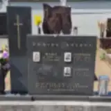 František Kot 1934 – 1991
- František Kotov 1914 – 1985
- Marie Kotová 1911 – 2000
- Jana Křivánková 1969 – 2007
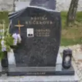 Eduard Kučera 1941 – 2021
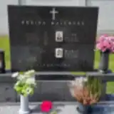 Marie Malhocká 1914 – 1992
- Jan Malhocký 1914 – 1974
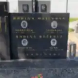 František Malina 1892 – 1962
- Veronika Malinová 1899 – 1982
- Jana Matýšková 1957 – 2014
- Jan Mazur 1924 – 1990
- Pavel Mazur 1899 – 1945
- Jenovefa Mazurová 1898 – 1968
- Jiřina Mazůrová 1926 – 2014
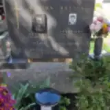 Apolonie Mikulicová 1893 – 1975
- Jan Ondryáš 1927 – 2015
- Jaroslav Pekařík 1924 – 1949
- Ludmila Pekaříková 1924 – 1992
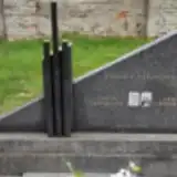 Ludvík Peřina 1913 – 1960
- Anna Peřinová 1918 – 2006
- Antonie Podbrecka 1918 – 2003
- Vladimír Posledníkov 1914 – 1998
- Anna Posledníková 1893 – 1967
- Anna Posledníková 1918 – 1975
- Miroslav Ráček 1931 – 1976
- Věra Ráčková 1933 – 2001
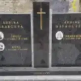 Drahomíra Rathouzská 1943 – 2014
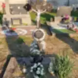 Rudolf Rosprým 1903 – 1969
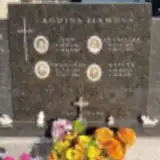 Františka Slámová 1901 – 1967
Looking for someone who isn't listed? Request a photo.
Nearby cemeteries
The closest other burial grounds listed on EveryStone.
- Dolní Věstonice Cemetery 2.2 km away · Dolní Věstonice · 28 records
- Popice Cemetery 2.7 km away · Popice
- Pouzdřany Cemetery 3.2 km away · Pouzdřany
- Pavlov Cemetery 3.7 km away · Pavlov · 41 records
- Horní Věstonice Cemetery 4.2 km away · Horní Věstonice · 32 records
- Šakvice Cemetery 4.3 km away · Šakvice · 30 records
- Starovice Cemetery 6.3 km away · Starovice · 59 records
- Perná Cemetery 6.4 km away · Perná · 3 records
- Hustopeče Jewish Cemetery 6.4 km away · Hustopeče
- Ivaň Cemetery 6.4 km away · Ivaň
Contribute with the app
Our website works smoothly on both desktop and mobile devices. Prefer a native app? Check it out below.
- Capture clear headstone photos
- Save GPS grave locations automatically
- Transcribe inscriptions with our AI
- Suggest corrections to existing records
Common questions
How big is Strachotín Cemetery?
Strachotín Cemetery covers about 3,310 m² (0.8 acres), about half the size of a soccer field. It is the 254th largest of the 569 cemeteries we list in South Moravian Region.
What is the oldest grave in this cemetery?
The oldest grave among the records we hold for Strachotín Cemetery is that of Pavel Mazur, who died on December 31, 1945 at the age of 46.