
Cemetery #181049
Rajhrad Cemetery
Local name: Hřbitov Rajhrad
Also known as Hřbitov v Rajhradě
530
documented records
≈ 530–800
approx. capacity (graves)
0.011 km²
cemetery area
Nov 5, 2026
last modified
About this cemetery
The cemetery is run by the town of Rajhrad, and its operation is governed by a burial-ground regulation.
Cemetery location
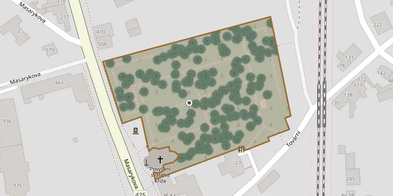
GPS coordinates: 49.091194° N, 16.603994° E Directions in Google Maps (opens in a new tab)
Memorials
Showing the first 50 of 530, A–Z by surname. Search all records
 Václav Alexa 1942 – 2004
 Antonín Bábor 1878 – 1942
 Jiří Balák 1983 – 1985
- Vojtěch Balák 1922 – 1994
- Anežka Baláková 1924 – 2003
 Jaroslav Bednař 1927 – 1994
 Čeněk Bednář 1910 – 1983
 František Bednář 1901 – 1964
 František Bednář 1921 – 2001
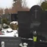 František Bednář 1914 – 1988
- František Bednář 1939 – 1980
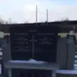 Jan Bednář 1907 – 1926
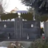 Jan Bednář 1919 – 1995
- Pavel Bednář 1953 – 2012
- Tomáš Bednář 1877 – 1953
- Jarmila Bednařová 1926 – 2009
- Anna Bednářová 1916 – 2007
- Božena Bednářová 1915 – 2001
- Cecilie Bednářová 1881 – 1953
- Filoména Bednářová 1887 – 1947
- Františka Bednářová 1878 – 1959
- Ludmila Bednářová 1925 – 2004
- Marie Bednářová 1923 – 1989
- Štěpánka Bednářová 1908 – 1971
- Vlasta Bednářová 1926 – 2011
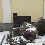 Adolf Bělík 1904 – 1966
 František Bělík 1898 – 1953
 Jan Bělík 1868 – 1946
- Emílie Bělíková 1912 – 1992
- Marie Bělíková 1946 – 2010
 František Beneš 1905 – 1958
- Anna Benešová 1908 – 1974
 Zdeněk Beránek 1941 – 1943
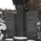 František Bilek 1909 – 1982
- Olinek Bilek 1941 – 1943
- Vladimír Bilek 1944 – 1989
- František Bílek 1939 – 1996
- Františka Bílková 1909 – 1983
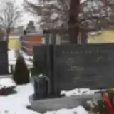 Josef Bouška 1935 – 2002
- Václav Bouška 1895 – 1951
- Anna Boušková 1897 – 1970
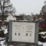 Vladimír Božek 1889 – 1973
- Marie Božková 1891 – 1972
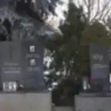 Jaroslav Brabec 1948 – 2004
 Julius Brázda 1904 – 1994
 Alois Brnka 1920 – 1978
- Věra Brnková 1920 – 1990
 František Broskva 1915 – 1987
- Kateřina Broskvová 1893 – 1974
- Ludmila Broskvová 1915 – 2000
Looking for someone who isn't listed? Request a photo.
Nearby cemeteries
The closest other burial grounds listed on EveryStone.
- Opatovice Cemetery near Brno 3.2 km away · Opatovice · 93 records
- Želešice Cemetery 3.6 km away · Želešice
- Modřice Cemetery 3.9 km away · Modřice · 148 records
- Syrovice Cemetery 4.1 km away · Syrovice · 94 records
- Vojkovice Cemetery 4.6 km away · Vojkovice · 43 records
- Blučina Cemetery 5.8 km away · Blučina · 210 records
- Hrušovany u Brna Cemetery 5.9 km away · Hrušovany u Brna · 327 records
- Ořechov Cemetery 6.0 km away · Ořechov · 153 records
- Moravany Cemetery 6.1 km away · Moravany · 91 records
- Měnín Cemetery 6.7 km away · Měnín · 152 records
Contribute with the app
Our website works smoothly on both desktop and mobile devices. Prefer a native app? Check it out below.
- Capture clear headstone photos
- Save GPS grave locations automatically
- Transcribe inscriptions with our AI
- Suggest corrections to existing records
Common questions
How big is Rajhrad Cemetery?
Rajhrad Cemetery covers about 11,000 m² (2.7 acres), about the size of 2 soccer fields. It is the 52nd largest of the 569 cemeteries we list in South Moravian Region.
What is the oldest grave in this cemetery?
The oldest grave among the records we hold for Rajhrad Cemetery is that of Friedrich Klein, who died on September 30, 1835 at the age of 79.