
67
documented records
≈ 150–300
approx. capacity (graves)
7,610 m²
cemetery area
Nov 5, 2026
last modified
About this cemetery
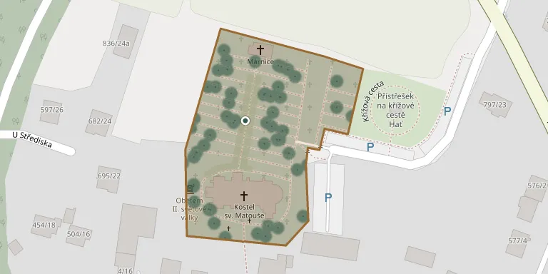
The cemetery surrounds the Church of St Matthew in Hať. A funeral hall stands in its northern part, and a memorial to the victims of the First World War stands by the main gate.
Cemetery location
GPS coordinates: 49.948479° N, 18.237034° E Directions in Google Maps (opens in a new tab)
Memorials
Showing the first 50 of 67, A–Z by surname. Search all records
 Reinhold Badaj 1923 – 1979
 Dalter Cajka 1943 – 1987
 Marie Cigan 1884 – 1947
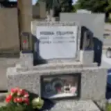 Hedvika Cigánová 1912 – 1999
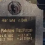 Karel Dragoun 1920 – 2015
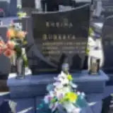 Jindřich Dudek 1951 – 2018
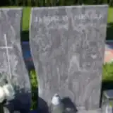 Jaroslav Fikáček 1948 – 2014
 Albert Florian 1880 – 1950
 Viktorie Florianová 1913 – 1999
 Lubomír Gaj 1962 – 1993
 Pavel Gajda 1916 – 1987
- Marta Gajdová 1922 – 2004
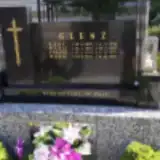 Karl Glenz 1885 – 1916
- Marie Glenzová 1921 – 1991
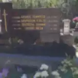 František Gospoš 1886 – 1963
- Terezie Gospošová 1886 – 1959
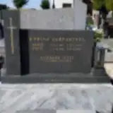 Gergard Gsyl 1940 – 1989
 Valter Hajný 1934 – 2008
 Marie Hanzlíková 1922 – 2001
 Štefan Horváth 1931 – 1997
 Vilém Hruška 1954 – 2007
 Berta Jarošová 1906 – 1985
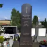 Josef Kalvar 1906 – 1947
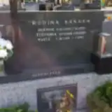 Marta Káňová 1935 – 1993
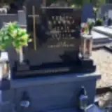 Jan Kempný 1922 – 2012
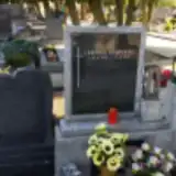 Ludmila Klapcová 1928 – 1995
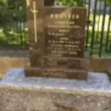 Reinhold Kolaska 1927 – 2010
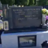 Arnošt Konečný 1938 – 1992
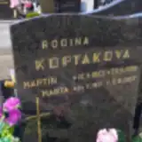 Marta Koptáková 1921 – 2002
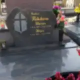 Alois Kotula 1938 – 2020
 Anna Kozáková 1934 – 2003
 Jan Krejčík 1949 – 2004
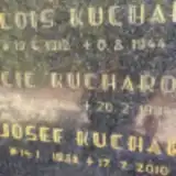 Alois Kuchař 1912 – 1944
 Leo Kuchař 1926 – 1985
- Günter Kupetz 1944 – 2020
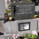 Ferdinand Kupka 1907 – 1958
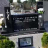 Gertruda Kusinová 1928 – 2012
- Alois Lasak 1914 – 1995
- Marie Lasáková 1920 – 2004
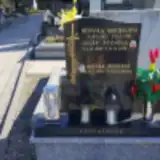 Hedvika Machalová 1913 – 1991
 Karel Matuschka 1925 – 1944
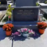 Emil Mikeska 1913 – 1988
 Ludmila Mikeska 1877 – 1936
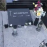 Zita Mlynarčíková 1939 – 2021
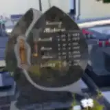 Anna Mokrá 1945 – 2005
- Augustin Nawrath 1920 – 1944
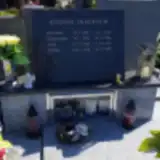 Anežka Olecká 1928 – 2005
- Josef Otava 1906 – 1945
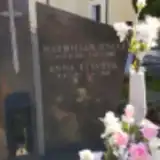 Maxmilian Otava 1905 – 1988
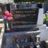 Vilém Pavlík 1949 – 1993
Looking for someone who isn't listed? Request a photo.
Nearby cemeteries
The closest other burial grounds listed on EveryStone.
- Darkovice Cemetery 1.3 km away · Darkovice
- Owsiszcze Cemetery 3.2 km away · Owsiszcze · 2 records
- Šilheřovice Cemetery 3.4 km away · Šilheřovice · 38 records
- Vřesina Cemetery near Opava 3.4 km away · Vřesina · 60 records
- Markvartovice Cemetery 3.5 km away · Markvartovice · 8 records
- Rudyszwałd Parish Cemetery 3.9 km away · Rudyszwałd · 31 records
- Krzyżanowice Cemetery 4.1 km away · Krzyżanowice
- Píšť Cemetery 4.6 km away · Píšť · 10 records
- Roszków Parish Cemetery 4.7 km away · Roszków
- Závada Cemetery 4.8 km away · Závada · 9 records
Contribute with the app
Our website works smoothly on both desktop and mobile devices. Prefer a native app? Check it out below.
- Capture clear headstone photos
- Save GPS grave locations automatically
- Transcribe inscriptions with our AI
- Suggest corrections to existing records
Common questions
How big is Hať Cemetery?
Hať Cemetery covers about 7,610 m² (1.9 acres), about the size of a soccer field. It is the 93rd largest of the 472 cemeteries we list in Moravian-Silesian Region.
What is the oldest grave in this cemetery?
The oldest grave among the records we hold for Hať Cemetery is that of Karl Glenz, who died on May 6, 1916 at the age of 30.