
Cemetery #181198
Mělník St. Wenceslas Churchyard
Local name: Hřbitov u sv. Václava Mělník
Also known as Hřbitov sv. Václava · Městský hřbitov Mělník
38
documented records
≈ 340–690
approx. capacity (graves)
0.017 km²
cemetery area
Nov 4, 2026
last modified
About this cemetery
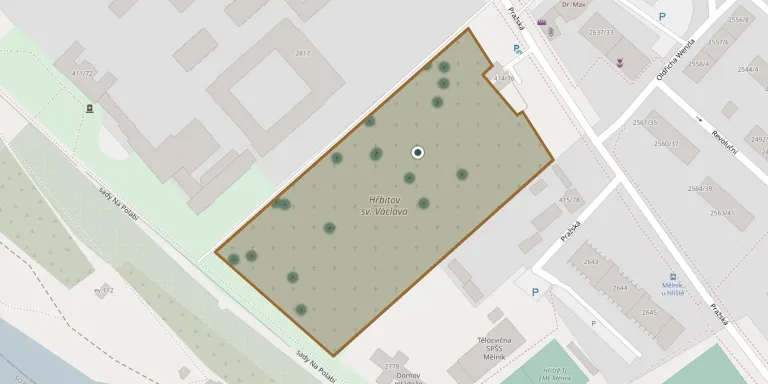
The main town cemetery of Mělník lies on Pražská street, in the south-east of the town near the Elbe (Labe). The first burial ground grew up around the original church of St. Wenceslas, which was abolished by the religious reforms of Joseph II in 1791. After that the space served only for burials, as the growing town stopped burying at churches in the centre. A new columbarium with around 130 urn niches is being built near the entrance. Questions about visits or burials can go to +420 315 623 005; more information is available from m.melnik.cz.
Cemetery location
GPS coordinates: 50.345180° N, 14.484150° E Directions in Google Maps (opens in a new tab)
Memorials
38 memorials, A–Z by surname.
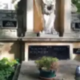 František Bílek 1925 – 2004
- Jiří Bílek 1960 – 2016
- Josef Bílek 1894 – 1964
- Milena Bílková 1930 – 1983
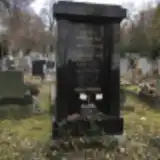 Anna Červáková 1886 – 1937
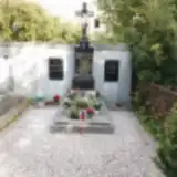 Alois Dvořák 1851 – 1921
- Růžena Dvořáková 1857 – 1922
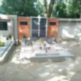 Adolf Fišer 1878 – 1970
- Františka Janovská 1827 – 1913
- Josef Janovský 1824 – 1907
- Růžena Kopejská 1889 – 1962
- Václav Kopejský 1886 – 1961
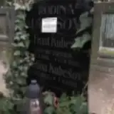 Josefina Kubešová 1873 – 1932
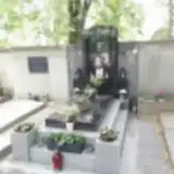 Josef Kulhavý 1932 – 2005
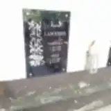 Josef Langer 1909 – 1991
- Veronika Langerova 1908 – 1983
 Miroslav Ložek 1939 – 1985
 Anežka Pechová 1892 – 1954
 Ladislav Řezníček 1914 – 1993
 Rudolf Rohel 1882 – 1969
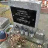 Marie Schneiderová 1903 – 1981
 Karel Schuster 1870 – 1960
- Adéla Schusterová 1880 – 1957
- Adolf Steinz 1939 – 2022
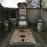 Karel Štěpán 1882 – 1947
- Václav Štěpán 1838 – 1917
- Augustina Štěpánová 1870 – 1881
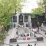 Bohumil Tříska 1915 – 1975
- Karel Tříska 1917 – 1982
- Václav Tříska 1945 – 2002
- Josefa Třísková 1920 – 1991
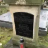 Anna Vejdělková 1838 – 1918
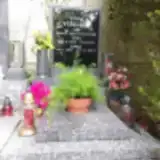 Věra Veselá 1925 – 2012
- Jiří Veselý 1923 – 1988
- Karel Veselý 1945 – 2013
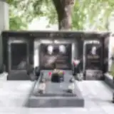 Jaroslav Wertheim 1959 – 2021
- Václav Wertheim 1930 – 2007
- Františka Wertheimová 1930 – 1979
Looking for someone who isn't listed? Request a photo.
Nearby cemeteries
The closest other burial grounds listed on EveryStone.
- Hořín Cemetery 1.5 km away · Hořín · 5 records
- Mělník Jewish Cemetery 1.6 km away · Mělník
- Vrbno u Mělníka Cemetery 2.7 km away · Hořín
- Church of the Exaltation of the Holy Cross Churchyard, Hořín-Vrbno 3.4 km away · Hořín · 1 record
- Mělník Ráji Cemetery 3.5 km away · Mělník · 3 records
- Mělník Cemetery, Chloumek, Church of the Holy Trinity 3.5 km away · Mělník · 26 records
- Záboří Evangelical Cemetery 4.3 km away · Záboří
- Vliněves Cemetery 4.3 km away · Dolní Beřkovice
- Kly-Záboří Cemetery 4.9 km away · Kly
- Zálezlice Cemetery 5.4 km away · Zálezlice
Contribute with the app
Our website works smoothly on both desktop and mobile devices. Prefer a native app? Check it out below.
- Capture clear headstone photos
- Save GPS grave locations automatically
- Transcribe inscriptions with our AI
- Suggest corrections to existing records
Common questions
How big is Mělník St. Wenceslas Churchyard?
Mělník St. Wenceslas Churchyard covers about 17,000 m² (4.2 acres), about the size of 2 soccer fields. It is the 20th largest of the 906 cemeteries we list in Central Bohemian Region.
What is the oldest grave in this cemetery?
The oldest grave among the records we hold for Mělník St. Wenceslas Churchyard is that of Augustina Štěpánová, who died on August 1, 1881 at the age of 10.