
15
documented records
≈ 40–80
approx. capacity (graves)
2,010 m²
cemetery area
Nov 5, 2026
last modified
About this cemetery
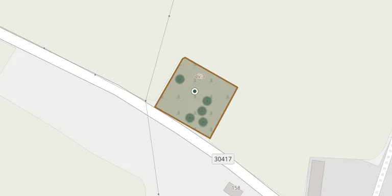
The cemetery of Studnice lies almost at the end of the village, on the road towards Kulířov. The whole area is enclosed by a stone wall.
Cemetery location
GPS coordinates: 50.423187° N, 16.086776° E Directions in Google Maps (opens in a new tab)
Memorials
15 memorials, A–Z by surname.
 Adolf Chmelař 1901 – 1913
- Adolf Chmelař 1858 – 1936
- Anna Chmelařová 1866 – 1937
- Blažena Chmelařová 1899 – 1924
- Josef Hlavsa 1887 – 1918
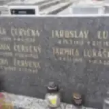 Jaroslav Lukáš 1911 – 1997
 Augustin Novák 1880 – 1951
- Emilie Nováková 1881 – 1933
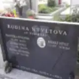 Rudolf Nývlt 1937 – 2010
- Rudolf Nývlt 1906 – 1975
- Františeka Nývltová 1910 – 1971
- Růžena Nývltová 1908 – 1984
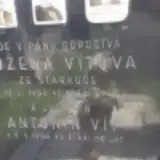 Antonín Vít 1884 – 1964
- Antonín Vít ? – 1955
- Božena Vítová 1881 – 1950
Looking for someone who isn't listed? Request a photo.
Nearby cemeteries
The closest other burial grounds listed on EveryStone.
- Žernov Cemetery near Česká Skalice 2.2 km away · Žernov · 1 record
- Studnice-Starkoč Cemetery 2.2 km away · Studnice · 1 record
- Česká Skalice Austro-Prussian War Cemetery 3.1 km away · Česká Skalice
- Náchod War Cemetery 1866 3.9 km away · Náchod
- Boušín-Slatina nad Úpou Cemetery 4.3 km away · Slatina nad Úpou · 12 records
- Provodov-Šonov Cemetery, Provodov 4.4 km away · Provodov-Šonov · 22 records
- Česká Skalice Cemetery 4.5 km away · Česká Skalice
- Náchod War Cemetery 4.5 km away · Náchod · 1 record
- Provodov-Šonov Cemetery, Šonov, near Nové Město nad Metují 4.7 km away · Provodov-Šonov · 10 records
- Náchod New Jewish Cemetery 4.9 km away · Náchod
Contribute with the app
Our website works smoothly on both desktop and mobile devices. Prefer a native app? Check it out below.
- Capture clear headstone photos
- Save GPS grave locations automatically
- Transcribe inscriptions with our AI
- Suggest corrections to existing records
Common questions
How big is Studnice Cemetery near Náchod?
Studnice Cemetery near Náchod covers about 2,010 m² (0.5 acres), about the size of 8 tennis courts. It is the 215th smallest of the 466 cemeteries we list in Hradec Králové Region.
What is the oldest grave in this cemetery?
The oldest grave among the records we hold for Studnice Cemetery near Náchod is that of Adolf Chmelař, who died on January 3, 1913 at the age of 11.