
31
documented records
≈ 85–170
approx. capacity (graves)
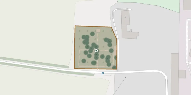
4,250 m²
cemetery area
Oct 18, 2026
last modified
About this cemetery
The cemetery of Kunín covers an area of roughly 65 by 70 metres and is operated by the municipality as a public burial ground. The grave rental period is 18 years. It is described locally as the most significant village cemetery in the Moravian Gate region. Call +420 739 048 115 to speak to the cemetery, or look at kunin-hrbitov.webnode.cz for more.
Cemetery location
GPS coordinates: 49.643098° N, 17.986235° E Directions in Google Maps (opens in a new tab)
Memorials
31 memorials, A–Z by surname.
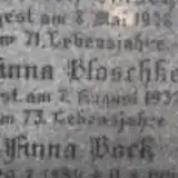 Anna Beck 1884 – 1943
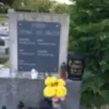 František Bělunek 1932 – 1995
 Anton Brisuda 1922 – 2005
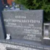 Jan Brisuda 1927 – 1973
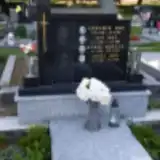 Jan Buš 1923 – 1987
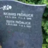 Richard Fröhlich 1914 – 1985
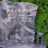 Jan Hájek 1993 – 1993
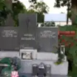 Zdenka Horáková 1948 – 2020
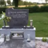 Vít Horňáček 1963 – 1999
 Štěpán Hrabec 1916 – 1980
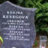 Jaromír Keseg 1962 – 1983
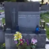 Miroslav Klosek 1953 – 1991
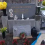 Žofia Koláčková 1932 – 1997
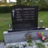 Josef Kremling 1898 – 1970
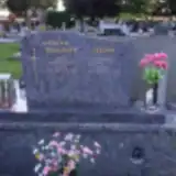 Miloslav Kuba 1928 – 2002
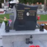 Pavlína Kurajská 1909 – 1981
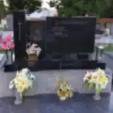 Milan Kužílek 1930 – 2000
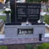 Petr Maňák 1951 – 1997
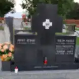 Vilém Mauer 1899 – 1967
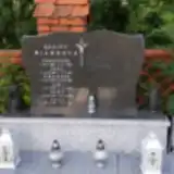 Pavla Michnová 1951 – 2014
 Štěpán Mrlina 1880 – 1961
 Ladislav Navrátil 1939 – 1972
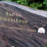 Jaroslav Omaník 1945 – 2014
 Vojtěch Podzemný 1925 – 1982
 Antonie Řepíková 1900 – 1991
 Jindřiška Rýdlová 1920 – 2014
 Aloisie Skočková 1909 – 1992
 Marie Švecová 1906 – 1980
 Emilie Tučková 1944 – 2010
 Jan Vaněk 1891 – 1951
 Ludmila Zlámalíková 1922 – 2008
Looking for someone who isn't listed? Request a photo.
Nearby cemeteries
The closest other burial grounds listed on EveryStone.
- Hukovice Cemetery 2.7 km away · Bartošovice · 8 records
- Suchdol nad Odrou Cemetery 4.3 km away · Suchdol nad Odrou
- Suchdol nad Odrou Evangelical Cemetery 4.3 km away · Suchdol
- Bernartice nad Odrou Cemetery 4.7 km away · Bernartice nad Odrou
- Hladké Životice Cemetery 4.8 km away · Hladké Životice · 23 records
- Nový Jičín Municipal Cemetery 5.5 km away · Nový Jičín · 119 records
- Bartošovice Cemetery 5.9 km away · Bartošovice · 118 records
- Pustějov Cemetery 6.3 km away · Pustějov · 175 records
- Kletné Cemetery 6.4 km away · Kletné
- Libhošť Cemetery, Nový Jičín 6.7 km away · Libhošť
Contribute with the app
Our website works smoothly on both desktop and mobile devices. Prefer a native app? Check it out below.
- Capture clear headstone photos
- Save GPS grave locations automatically
- Transcribe inscriptions with our AI
- Suggest corrections to existing records
Common questions
How big is Kunín Cemetery?
Kunín Cemetery covers about 4,250 m² (1 acre), about half the size of a soccer field. It is the 188th largest of the 472 cemeteries we list in Moravian-Silesian Region.
What is the oldest grave in this cemetery?
The oldest grave among the records we hold for Kunín Cemetery is that of Anna Beck, who died on August 11, 1943 at the age of 59.