
Cemetery #181368
Slaný Cemetery
Local name: Hřbitov Slaný
Also known as Městský hřbitov, Slaný
63
documented records
≈ 610–1,200
approx. capacity (graves)
0.030 km²
cemetery area
Nov 5, 2026
last modified
About this cemetery
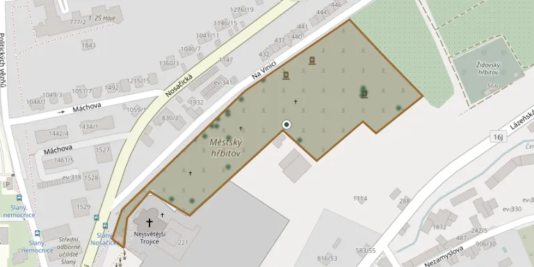
The municipal cemetery in Slaný lies in the north-eastern part of the town, on Na Vinici street. It originated in 1576 as the second historical cemetery of the town, in the locality known as Na Golgotě. The oldest surviving plaque is the epitaph of the Slaný burgher Jiřík Balas, his wife and children, and the eastern part holds a Red Army military burial ground.
Cemetery location
GPS coordinates: 50.234929° N, 14.090456° E Directions in Google Maps (opens in a new tab)
Memorials
Showing the first 50 of 63, A–Z by surname. Search all records
 Petron Audolenský 1862 – 1946
 Anděla Benešová 1850 – 1873
 Ludmila Bílá 1812 – 1904
- Jan Bílý 1810 – 1884
- Julius Domenegoni ? – 1922
- Marie Domenegoni 1855 – 1946
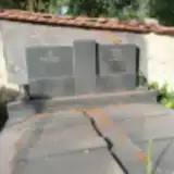 Miloš Hamza 1922 – 2002
 Anežka Hrubá ? – 1941
- Josefa Hrubá ? – 1996
- Antonín Hrubý 1841 – 1909
- František Hrubý ? – 1960
- Václav Hrubý ? – 1893
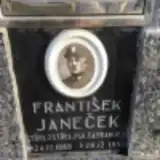 František Janeček 1889 – 1957
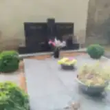 Karel Kapr 1926 – 2017
- Gisela Kaprová 1931 – 1996
- Bruno Klarner 1927 – 1999
- František Klarner 1816 – 1885
- Johanna Klarnerová ? – 1868
- Terezie Klarnerová ? – 1895
- Terezie Klarnerová 1815 – 1832
 Bedřich Kořínek 1884 – 1914
- František Kořínek 1845 – 1922
- František Kořínek 1853 – 1899
- Anna Kořínková 1855 – 1919
 Jaromír Kotyk 1906 – 1959
- Božena Kotyková 1916 – 1991
 Jindřich Kožíšek 1921 – 1931
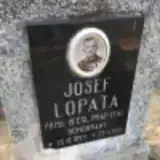 Josef Lopata 1894 – 1965
 Josef Loučka 1940 – 2002
- Hana Loučková 1943 – 2020
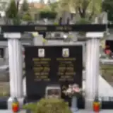 Zdeněk Mrázek 1929 – 1987
 Vlastiček Novák 1943 – 1944
- Vlastimil Novák 1919 – 2001
- Anna Nováková 1922 – 1969
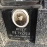 Josef Petržíla 1885 – 1961
- Anna Pokorná 1902 – 1997
- Alois Pokorný 1898 – 1962
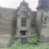 Anna Sacherová 1820 – 1875
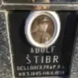 Adolf Štibr 1885 – 1959
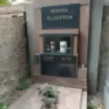 Aloisie Tlustá 1898 – 1978
- Rudolf Tlustý 1896 – 1984
- Vlastimil Tlustý 1930 – 2015
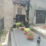 Karel Urbánek ? – 1962
- Karel Urbánek ? – 2005
- Františka Urbánková 1836 – 1904
- Jaroslav Vokoun 1891 – 1954
- Karel Vokoun 1892 – 1946
- Vladimir Vokoun 1918 – 1946
- Božena Vokounová 1896 – 1955
 Antonín Wassermann 1861 – 1865
Looking for someone who isn't listed? Request a photo.
Nearby cemeteries
The closest other burial grounds listed on EveryStone.
- Slaný Jewish Cemetery 260 m away · Slaný
- Slaný Cemetery, Dolín 3.1 km away · Slaný
- Knovíz Cemetery 4.2 km away · Knovíz · 14 records
- Beřovice Cemetery 4.3 km away · Beřovice
- Tuřany Cemetery 4.5 km away · Libovice
- Třebichovice Cemetery 4.6 km away · Třebichovice
- Pchery Cemetery 4.7 km away · Pchery
- Přelíc Cemetery 4.7 km away · Přelíc
- Dřínov Cemetery 4.9 km away · Dřínov
- Zlonice Cemetery 5.0 km away · Zlonice · 47 records
Contribute with the app
Our website works smoothly on both desktop and mobile devices. Prefer a native app? Check it out below.
- Capture clear headstone photos
- Save GPS grave locations automatically
- Transcribe inscriptions with our AI
- Suggest corrections to existing records
Common questions
How big is Slaný Cemetery?
Slaný Cemetery covers about 30,000 m² (7.5 acres), about the size of 4 soccer fields. It is the 12th largest of the 906 cemeteries we list in Central Bohemian Region.
What is the oldest grave in this cemetery?
The oldest grave among the records we hold for Slaný Cemetery is that of Terezie Klarnerová, who died in 1832 at the age of 17.