
41
documented records
≈ 130–260
approx. capacity (graves)
6,540 m²
cemetery area
Nov 5, 2026
last modified
About this cemetery
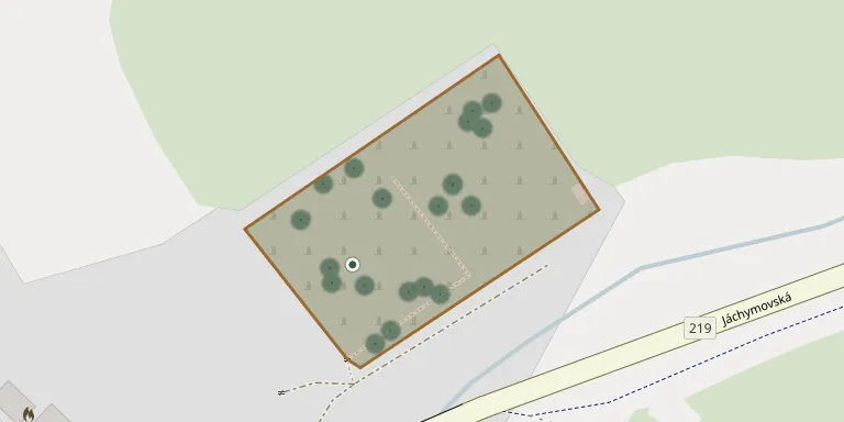
The public burial ground of Pernink lies on the edge of the village, on the left side of the road towards Abertamy. The village was known as Baerringen until after the First World War, when it was part of Austria-Hungary.
Cemetery location
GPS coordinates: 50.365107° N, 12.787661° E Directions in Google Maps (opens in a new tab)
Memorials
41 memorials, A–Z by surname.
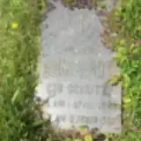 Anna Endt 1848 – 1908
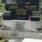 Alfred Enzmann 1923 – 1944
- Justine Enzmann 1898 – 1969
- Karl Enzmann 1899 – 1981
- Josef Friede 1869 – 1939
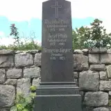 Nemesius Geyer 1848 – 1921
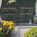 Gerhard Grund 1941 – 2015
- Josef Grund 1911 – 1989
- Karin Grundová 1943 – 2013
- Marie Grundová 1913 – 1989
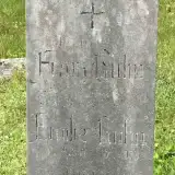 Franz Gülin ? – 1923
 Ferdinand Hoffman 1899 – 1969
- Barbora Hoffmanová 1855 – 1949
- Karla Hoffmanová 1901 – 1972
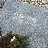 Lydia Holá 1944 – 2017
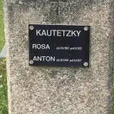 Anton Kautetzky 1896 – 1957
- Rosa Kautetzky 1902 – 1952
 August Kolitsch 1903 – 1938
 Anton Kraus 1881 – 1941
- Theresia Kraus 1884 – 1964
- Emilie Kuhn 1865 – 1953
 Florian Lenhart 1881 – 1948
- Marie Lenhert 1885 – 1968
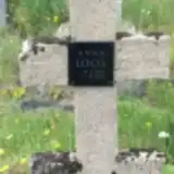 Anna Loos 1863 – 1939
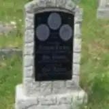 Anna Moebach 1851 – 1935
- Emilie Moebach 1877 – 1919
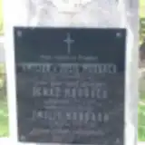 Emilie Morbach 1884 – 1962
- Ferdinand Morbach 1853 – 1938
- Ignaz Morbach 1883 – 1956
- Josef Pfob 1827 – 1908
- Theodor Pfob 1817 – 1890
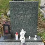 Ernst Preis 1889 – 1970
 Johann Rimpl 1882 – 1931
 Oldřich Sobota 1925 – 1986
- Hilda Sobotová 1919 – 1962
 Ernst Weber 1900 – 1951
- Wilhelm Weber 1868 – 1949
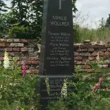 Hermine Wöllner 1859 – 1927
- Marie Wöllner 1835 – 1913
- Theodor Wöllner 1816 – 1890
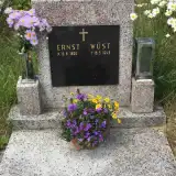 Ernst Wüst 1899 – 1943
Looking for someone who isn't listed? Request a photo.
Nearby cemeteries
The closest other burial grounds listed on EveryStone.
- Abertamy Cemetery 2.2 km away · Abertamy · 1 record
- Horní Blatná Cemetery 3.0 km away · Horní Blatná · 29 records
- Nové Hamry Cemetery 4.5 km away · Nové Hamry
- Nejdek Jewish Cemetery 6.5 km away · Nejdek
- Nejdek Cemetery 6.5 km away · Nejdek · 35 records
- Hroznětín Jewish Cemetery 7.8 km away · Hroznětín
- Johanngeorgenstadt Cemetery 7.9 km away · Johanngeorgenstadt
- Vysoká Pec Cemetery 7.9 km away · Rudné
- Děpoltovice Cemetery 7.9 km away · Děpoltovice · 18 records
- Hroznětín Cemetery 8.5 km away · Hroznětín
Contribute with the app
Our website works smoothly on both desktop and mobile devices. Prefer a native app? Check it out below.
- Capture clear headstone photos
- Save GPS grave locations automatically
- Transcribe inscriptions with our AI
- Suggest corrections to existing records
Common questions
How big is Pernink Cemetery?
Pernink Cemetery covers about 6,540 m² (1.6 acres), about the size of a soccer field. It is the 42nd largest of the 153 cemeteries we list in Karlovy Vary Region.
What is the oldest grave in this cemetery?
The oldest grave among the records we hold for Pernink Cemetery is that of Theodor Wöllner, who died on July 20, 1890 at the age of 73.