
15
documented records
≈ 94–190
approx. capacity (graves)
4,700 m²
cemetery area
Nov 5, 2026
last modified
About this cemetery
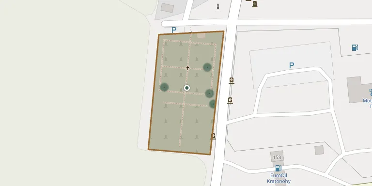
The municipal cemetery in Kratonohy has a wall of exposed brick, built in 2025 and financed entirely by the municipality. A memorial to the victims of the First and Second World Wars stands at the edge of the village next to the cemetery.
Cemetery location
GPS coordinates: 50.167105° N, 15.599838° E Directions in Google Maps (opens in a new tab)
Memorials
15 memorials, A–Z by surname.
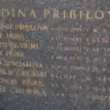 Miluše Časlavská 1929 – 2007
- Jaroslav Časlavský 1924 – 1990
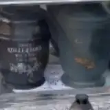 Marie Kollertová 1921 – 2002
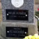 Václav Petráček 1895 – 1974
- Anežka Petráčková 1898 – 1982
- František Přibil 1922 – 1976
- Jaroslav Přibil 1924 – 1993
- Josef Přibil 1920 – 1980
- Josef Přibil 1883 – 1953
- Antonie Přibilová 1901 – 1938
 Josef Vejvoda 1894 – 1984
- Marenka Vejvodová 1924 – 1936
- Marie Vejvodová 1898 – 1987
- Božena Vosáhlová 1926 – 2010
- Anna Zemljaková 1909 – 1987
Looking for someone who isn't listed? Request a photo.
Nearby cemeteries
The closest other burial grounds listed on EveryStone.
- Babice Cemetery 3.3 km away · Babice
- Káranice Cemetery 3.6 km away · Káranice
- Roudnice Cemetery 3.7 km away · Roudnice · 26 records
- Kosičky Cemetery 3.9 km away · Kosičky
- Dobřenice Cemetery 3.9 km away · Dobřenice · 20 records
- Boharyně Cemetery 4.4 km away · Boharyně · 5 records
- Boharyně Cemetery 4.8 km away · Zvíkov
- Stará Voda Cemetery 5.0 km away · Stará Voda · 5 records
- Kosice Cemetery 5.8 km away · Kosice
- Chýšť Cemetery 5.9 km away · Chýšť
Contribute with the app
Our website works smoothly on both desktop and mobile devices. Prefer a native app? Check it out below.
- Capture clear headstone photos
- Save GPS grave locations automatically
- Transcribe inscriptions with our AI
- Suggest corrections to existing records
Common questions
How big is Kratonohy Cemetery?
Kratonohy Cemetery covers about 4,700 m² (1.2 acres), about half the size of a soccer field. It is the 95th largest of the 466 cemeteries we list in Hradec Králové Region.
What is the oldest grave in this cemetery?
The oldest grave among the records we hold for Kratonohy Cemetery is that of Marenka Vejvodová, who died on May 16, 1936 at the age of 11.