
85
documented records
≈ 85–130
approx. capacity (graves)
1,620 m²
cemetery area
Nov 5, 2026
last modified
About this cemetery
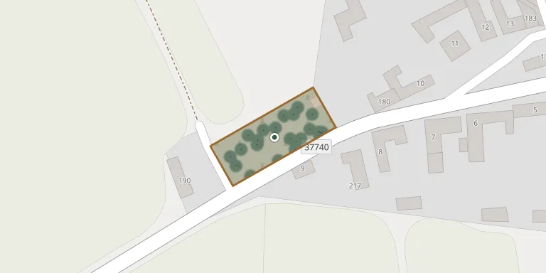
The cemetery lies almost at the end of the village of Studnice, on the road towards Kulířov, and is enclosed by a stone wall.
Cemetery location
GPS coordinates: 49.375224° N, 16.876856° E Directions in Google Maps (opens in a new tab)
Memorials
Showing the first 50 of 85, A–Z by surname. Search all records
 Martin Ambroz 1907 – 1973
- Ladislav Ambrozov 1934 – 2005
- Martin Ambrozov 1882 – 1951
- Anna Ambrozová 1909 – 1997
- Božena Ambrozová 1931 – 2015
- Marie Ambrozová 1897 – 1930
 Božena Doleželová 1872 – 1956
 Bedřich Grmel 1945 – 1968
- František Grmel 1878 – 1949
- Bedřich Grmela 1903 – 1988
- Marie Grmelová 1905 – 1992
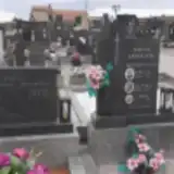 Pavel Herman 1914 – 1988
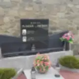 Jana Jančíková 1906 – 1981
 Marie Konečná 1899 – 1979
- Tomáš Konečný 1895 – 1965
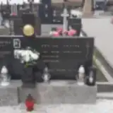 Anna Koutná 1902 – 1972
- Jana Koutná 1894 – 1978
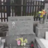 Marie Koutná 1894 – 1983
- Marie Koutná 1866 – 1927
- Marie Koutná 1930 – 1976
- Jan Koutný 1862 – 1920
- Josef Koutný 1928 – 2006
- Václav Koutný 1895 – 1955
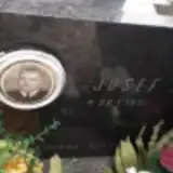 Josef Kovařík 1901 – 1970
- Ludmila Kurečková 1919 – 1989
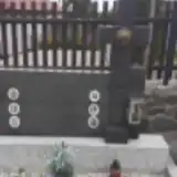 Josef Meiduzin 1869 – 1952
- Josef Meiduzin 1924 – 1974
- Amálie Meiduzinová 1872 – 1961
- Josefa Meiduzinová 1890 – 1982
- Marie Meiduzinová 1929 – 1971
- Václav Meluzín 1900 – 1971
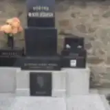 Metoděj Mikulášek 1931 – 2006
- Věra Mikulášková 1931 – 2012
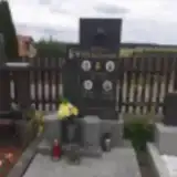 Petr Mrázek 1884 – 1965
- Anička Mrázková 1913 – 1932
- Julie Mrázková 1888 – 1978
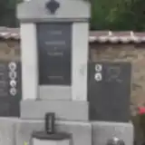 František Pavlík 1900 – 1918
- František Pavlík 1869 – 1947
- Jarmilka Pavlíková 1917 – 1931
- Marie Pavlíková 1875 – 1965
- Alois Plch 1905 – 2004
- František Plch 1931 – 1960
- Jiří Plch 1954 – 2011
- Božena Plchová 1911 – 1996
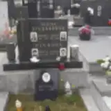 Marie Plchová 1948 – 2007
- Václav Pliska 1905 – 1973
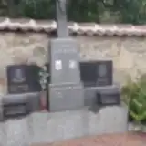 Ladislav Pokluda 1913 – 1986
- Anna Pokludová 1880 – 1945
 Jan Rysánek 1877 – 1939
- Stanislav Rysánek 1910 – 1973
Looking for someone who isn't listed? Request a photo.
Nearby cemeteries
The closest other burial grounds listed on EveryStone.
- Kulířov Cemetery 2.4 km away · Kulířov
- St. Michael Churchyard, Rozstání 3.9 km away · Rozstání · 2 records
- Krásensko Cemetery 3.9 km away · Krásensko
- Rozstání Cemetery 4.1 km away · Rozstání
- Lipovec Cemetery 5.2 km away · Lipovec · 82 records
- Senetářov Cemetery 5.5 km away · Senetářov
- Ruprechtov Cemetery 5.8 km away · Ruprechtov · 5 records
- Vyškov-Rychtářov Cemetery 5.9 km away · Vyškov · 73 records
- Drahany Cemetery 7.1 km away · Drahany · 63 records
- Vysočany-Molenburk Cemetery 7.9 km away · Vysočany
Contribute with the app
Our website works smoothly on both desktop and mobile devices. Prefer a native app? Check it out below.
- Capture clear headstone photos
- Save GPS grave locations automatically
- Transcribe inscriptions with our AI
- Suggest corrections to existing records
Common questions
How big is Studnice Cemetery near Vyškov?
Studnice Cemetery near Vyškov covers about 1,620 m² (0.4 acres), about the size of 6 tennis courts. It is the 121st smallest of the 569 cemeteries we list in South Moravian Region.
What is the oldest grave in this cemetery?
The oldest grave among the records we hold for Studnice Cemetery near Vyškov is that of František Trněný, who died on August 20, 1903 at the age of 39.